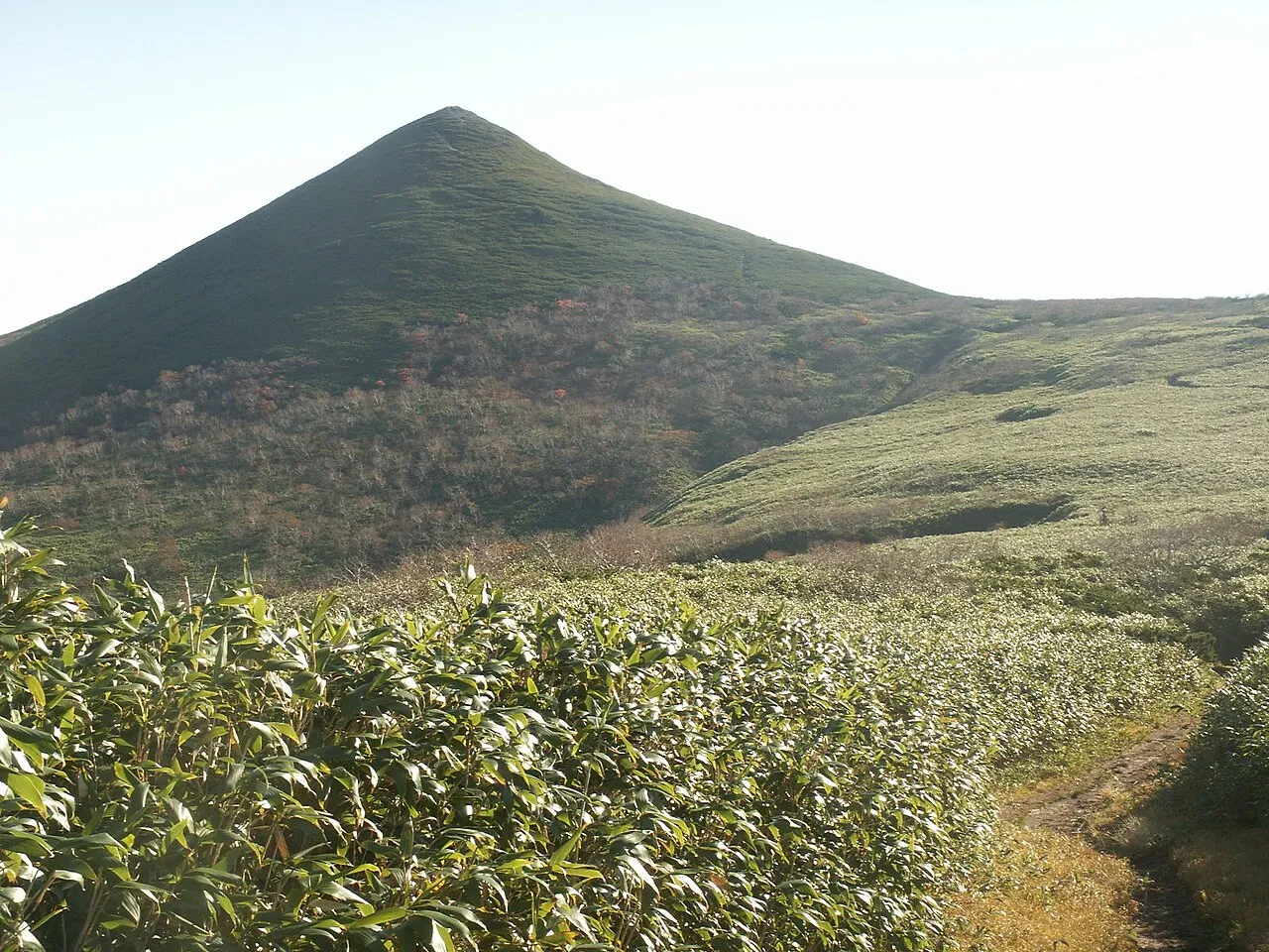
- Elevation
- 489 m
- above sea level
- Local time
- UTC+09:00
- Asia/Tokyo · UTC+09:00
- Airports
- MBE Monbetsu Airport55 km
- AKJ Asahikawa Airport80 km
About Kitami Sanchi
Kitami Sanchi is a mountain. Location: Hokkaido, Japan. Elevation: 489 m.
Kitami Mountains (北見山地, Kitami-sanchi) is a mountain range of Hokkaidō, Japan. Unlike much of the rest of Japan, the Kitami Mountains are not very seismically active. The Kitami Mountains are north of the Ishikari Mountains and east of the Teshio Mountains. A depression separates the Kitami Mountains from the Yūbari Mountains. The highest point in the Kitami Mountains is Mount Teshio. Mount Teshio sits atop the Wenshiri horst.
Read more on Wikipedia Text: Wikipedia contributors · CC BY-SA 4.0 · shortened
At a glance
- Length
- 180 km
Source: Wikidata
Climate of Kitami Sanchi
Best months for sightseeingBest months for sightseeing: June–August.
Bars: average monthly low and high temperature. Below: precipitation. Monthly averages for 1970–2000 at about 18 km resolution, adjusted for elevation. Highlighted months are mild and relatively dry. Source: WorldClim 2.1 (CC BY 4.0).
Show values as a table
| Month | Jan | Feb | Mar | Apr | May | Jun | Jul | Aug | Sep | Oct | Nov | Dec |
|---|---|---|---|---|---|---|---|---|---|---|---|---|
| Average high (°C) | -7° | -6° | -1° | 5° | 12° | 16° | 20° | 21° | 17° | 11° | 3° | -3° |
| Average low (°C) | -14° | -15° | -10° | -2° | 3° | 7° | 12° | 14° | 9° | 2° | -4° | -10° |
| Precipitation (mm) | 69 | 50 | 64 | 65 | 78 | 77 | 103 | 145 | 141 | 118 | 104 | 81 |
Airports nearest to Kitami Sanchi
- Monbetsu Airport (MBE) Monbetsu 55 km
- Asahikawa Airport (AKJ) Higashikagura 80 km
- Memanbetsu Airport (MMB) Ōzora 128 km
Straight-line distance; airports with scheduled flights only. Source: OurAirports (public domain).
Nearest towns and villages
-
Shimokawa Chō Municipality, Kamikawa-gun (Teshio no kuni)5.9 km S
-
Shimokawa Village, Shimokawa Chō14 km S
-
Nishiokoppe Mura Municipality, Monbetsu Gun17 km E
-
Setoushi Village, Nishiokoppe Mura19 km E
-
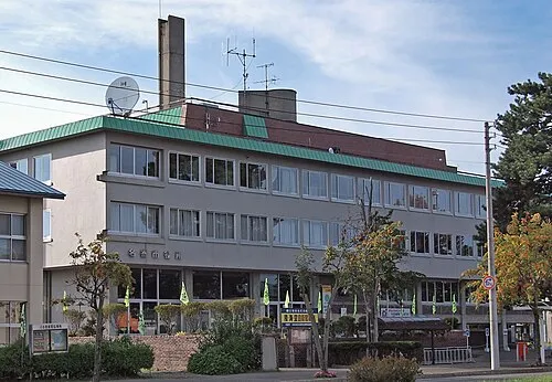 Nayoro City, Nayoro Shi21 km W
-
Piuka Village, Bifuka Chō32 km W
Nearby attractions & nature
Everything nearby-
Mount Piyashiri Mountain, Monbetsu Gun13 km NW
-
Mount Uenshiri Mountain, Takinoue Chō20 km SE
More nature in Japan
-
Shokotsu-dake Mountain, Takinoue Chō40 km SE
-
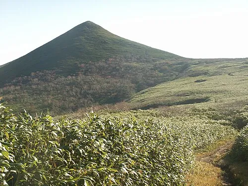 Mount Teshio Mountain, Takinoue Chō47 km S
-
Mount Hako Mountain, Esashi Chō41 km NW
-
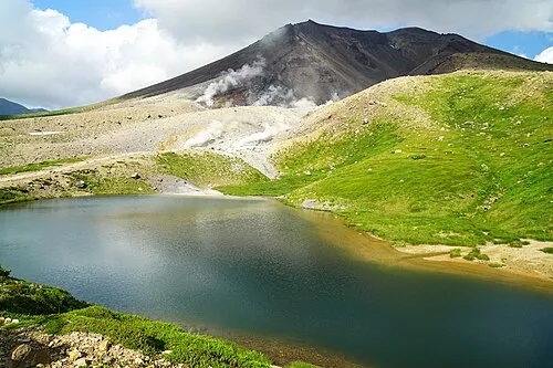 Mount Asahi Mountain, Higashikawa Chō79 km S
-
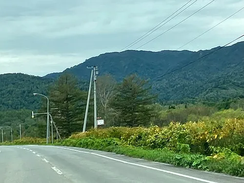 Mount Santō Mountain, Horokanai Chō59 km SW
-
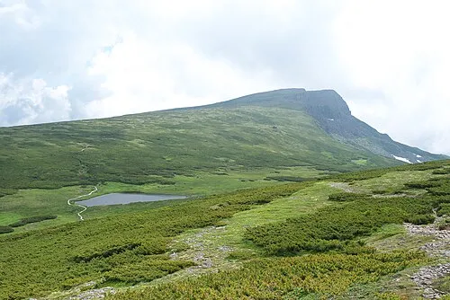 Chūbetsu-dake Mountain, Kamikawa Chō88 km S
Sources & licences
Data last updated: · 2 independent sources