- Population
- 3,473
- 3.5K
- Elevation
- 68 m
- above sea level
- Local time
- UTC+09:00
- Asia/Tokyo · UTC+09:00
- Places inside
- 1
- listed under Obira Chō
- Airports
- AKJ Asahikawa Airport65 km
- OKD Sapporo Okadama Airport111 km
About Obira Chō
Obira Chō is a municipality. Location: Rumoi Gun, Hokkaido. Population: 3,473. Elevation: 68 m. The best months to visit are June–August. The nearest airport is Asahikawa Airport (65 km). Nearby sights include Mount Santō and Rumoi River.
Climate of Obira Chō
Best months for sightseeingBest months for sightseeing: June–August.
This month · November
A wet month
Day 6° · Night 0° · Rain 133 mm
- Hottest month
- August (day 24°)
- Coldest month
- February (night -10°)
- Wettest month
- August (148 mm)
- Driest month
- March (61 mm)
Bars: average monthly low and high temperature. Below: precipitation. Monthly averages for 1970–2000 at about 18 km resolution, adjusted for elevation. Highlighted months are mild and relatively dry. Source: WorldClim 2.1 (CC BY 4.0).
Show values as a table
| Month | Jan | Feb | Mar | Apr | May | Jun | Jul | Aug | Sep | Oct | Nov | Dec |
|---|---|---|---|---|---|---|---|---|---|---|---|---|
| Average high (°C) | -2° | -2° | 2° | 8° | 15° | 19° | 23° | 24° | 20° | 14° | 6° | 0° |
| Average low (°C) | -10° | -10° | -6° | 1° | 6° | 11° | 16° | 17° | 12° | 6° | 0° | -6° |
| Precipitation (mm) | 90 | 64 | 61 | 65 | 72 | 72 | 102 | 148 | 148 | 137 | 133 | 117 |
How to get to Obira Chō
The nearest airport is Asahikawa Airport (AKJ), 65 km to the southeast as the crow flies. The nearest large city is Asahikawa, 53 km to the southeast.
Airports
- Asahikawa Airport (AKJ) Higashikagura 65 kmsoutheast
- Sapporo Okadama Airport (OKD) Sapporo 111 kmsouth
- Monbetsu Airport (MBE) Monbetsu 128 kmeast
Nearby large cities
- Asahikawa Population: 333.5K 53 kmsoutheast
- Ebetsu Population: 134K 108 kmsouth
- Sapporo Population: 2M 117 kmsouth
- Otaru Population: 115.3K 118 kmsouthwest
- Tomakomai Population: 174.8K 159 kmsouth
Straight-line distances; road distances are longer. Airport data: OurAirports.
Day trips from Obira Chō
Within 100 km: 1 historic or cultural site, 23 natural sites, 5 lakes, rivers and coasts.
0–25 km2 places
- Rumoi River River 19 kmSW
- Mount Santō Mountain 20 kmE
25–60 km4 places
- Teuri Island Island 58 kmNW
- Yagishiri Island Island 54 kmNW
- Mount Pisshiri Mountain 36 kmNE
- Mount Shokanbetsu Mountain 45 kmSW
60–100 km23 places
- Mount Rubeshibe Mountain 69 kmSE
- Kitami Sanchi Mountain 78 kmNE
- Daisetsu-zan Mountain 95 kmSE
- Mount Asahi Mountain 93 kmSE
Straight-line distances.
Places in Obira Chō
1 placeBar: population relative to the most populous place in this list.
Nearby attractions & nature
Everything nearby-
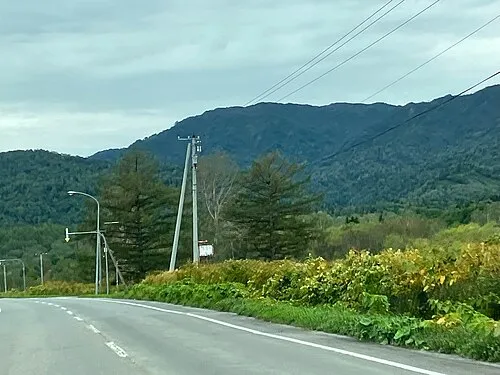 Mount Santō Mountain, Horokanai Chō20 km E
-
Rumoi River River, Japan19 km SW
Sources & licences
Data last updated: