- Elevation
- 2 m
- above sea level
- Local time
- UTC+09:00
- Asia/Tokyo · UTC+09:00
- Airports
- AKJ Asahikawa Airport72 km
- OKD Sapporo Okadama Airport96 km
About Rumoi River
Rumoi River is a river. Location: Japan.
Rumoi River (留萌川, Rumoi-gawa) is a Class A river in Hokkaidō, Japan. The Rumoi is 44 kilometres (27 mi) in length. It traces its source to Mount Poroshiri 731 metres (2,398 ft) in the Hidaka Mountain range, and flows across Rumoi Subprefecture in the west of Hokkaidō and empties into the Sea of Japan. Its river mouth is in the city of Rumoi.
Read more on Wikipedia Text: Wikipedia contributors · CC BY-SA 4.0 · shortened
At a glance
- Length
- 44 km
Source: Wikidata
Climate of Rumoi River
Best months for sightseeingBest months for sightseeing: June–September.
Bars: average monthly low and high temperature. Below: precipitation. Monthly averages for 1970–2000 at about 18 km resolution, adjusted for elevation. Highlighted months are mild and relatively dry. Source: WorldClim 2.1 (CC BY 4.0).
Show values as a table
| Month | Jan | Feb | Mar | Apr | May | Jun | Jul | Aug | Sep | Oct | Nov | Dec |
|---|---|---|---|---|---|---|---|---|---|---|---|---|
| Average high (°C) | -1° | -1° | 3° | 9° | 15° | 19° | 23° | 25° | 21° | 15° | 8° | 2° |
| Average low (°C) | -8° | -8° | -5° | 2° | 7° | 12° | 17° | 18° | 13° | 7° | 1° | -4° |
| Precipitation (mm) | 108 | 77 | 63 | 57 | 62 | 68 | 96 | 145 | 141 | 133 | 140 | 134 |
Other places to visit in this season: June July August September
Airports nearest to Rumoi River
- Asahikawa Airport (AKJ) Higashikagura 72 km
- Sapporo Okadama Airport (OKD) Sapporo 96 km
- New Chitose Airport (CTS) Sapporo 131 km
Straight-line distance; airports with scheduled flights only. Source: OurAirports (public domain).
Nearest towns and villages
-
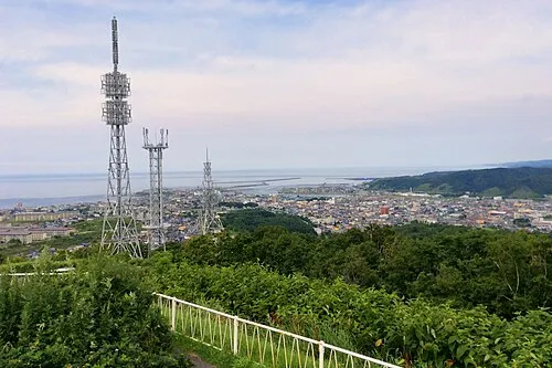 Rumoi City, Rumoi Shi2.6 km S
-
Obirachō Village, Obira Chō7 km N
-
Mashike Village, Mashike Chō15 km SW
-
Mashike Chō Municipality, Mashike-gun21 km SW
-
Obira Chō Municipality, Rumoi Gun19 km NE
-
Hokuryū Chō Municipality, Uryū Gun25 km SE
More lakes, rivers and coasts in Japan
-
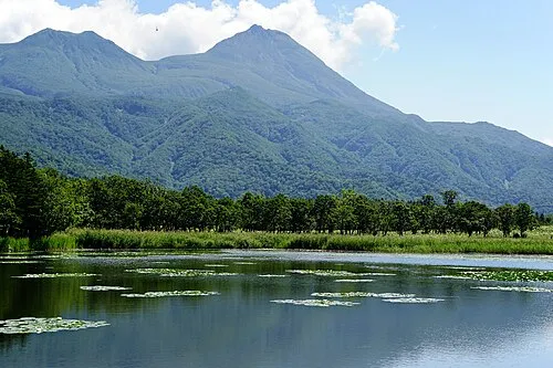 Hokkaido Island, Shintoku Chō119 km SE
-
 Yagishiri Island Island, Hokkaido56 km N
-
 Teuri Island Island, Tomamae Gun58 km NW
-
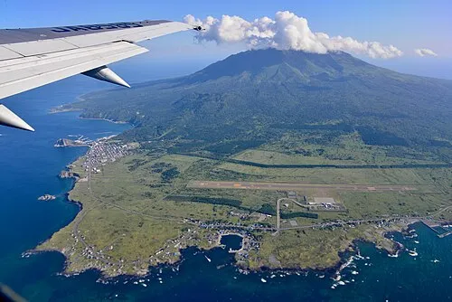 Rishiri Tō Island, Hokkaido140 km N
-
Toyohira River River, Japan92 km S
-
Ishikari River River, Hokkaido80 km S
Sources & licences
Data last updated: · 2 independent sources