- Elevation
- 0 m
- above sea level
- Local time
- UTC+09:00
- Asia/Tokyo · UTC+09:00
- Airports
- OKD Sapporo Okadama Airport17 km
- CTS New Chitose Airport61 km
About Ishikari River
Ishikari River is a river. Location: Hokkaido, Japan.
The Ishikari River (石狩川, Ishikari-gawa), at 268 kilometres (167 mi) long, is the third longest in Japan and the longest in Hokkaido. The Class A river drains an area of 14,330 square kilometres (5,530 mi2), making it the second largest in Japan, with a total discharge of around 14.8 cubic kilometres (3.6 mi3) per year. It originates from Mount Ishikari in the Daisetsuzan Volcanic Group and flows through Asahikawa and Sapporo. Major tributaries of the river include the Chūbetsu, Uryū, Sorachi and Toyohira rivers.
Source: Wikipedia · CC BY-SA 4.0
At a glance
- Heritage designation
- Hokkaido Heritage
- Length
- 268 km
Source: Wikidata
Climate of Ishikari River
Best months for sightseeingBest months for sightseeing: June–September.
This month · November
A wet month
Day 8° · Night 0° · Rain 126 mm
- Hottest month
- August (day 25°)
- Coldest month
- January (night -9°)
- Wettest month
- August (145 mm)
- Driest month
- April (63 mm)
Bars: average monthly low and high temperature. Below: precipitation. Monthly averages for 1970–2000 at about 18 km resolution, adjusted for elevation. Highlighted months are mild and relatively dry. Source: WorldClim 2.1 (CC BY 4.0).
Show values as a table
| Month | Jan | Feb | Mar | Apr | May | Jun | Jul | Aug | Sep | Oct | Nov | Dec |
|---|---|---|---|---|---|---|---|---|---|---|---|---|
| Average high (°C) | -2° | -1° | 3° | 10° | 16° | 20° | 24° | 25° | 21° | 15° | 8° | 2° |
| Average low (°C) | -9° | -9° | -5° | 2° | 7° | 12° | 16° | 18° | 13° | 6° | 0° | -5° |
| Precipitation (mm) | 113 | 85 | 66 | 63 | 66 | 69 | 97 | 145 | 134 | 120 | 126 | 126 |
Other places to visit in this season: June July August September
How to get to Ishikari River
The nearest airport is Sapporo Okadama Airport (OKD), 17 km to the south as the crow flies. For international flights: New Chitose Airport (CTS) (61 km). The nearest large city is Sapporo, 22 km to the south.
Airports
- Sapporo Okadama Airport (OKD) Sapporo 17 kmsouth
- New Chitose Airport (CTS) Sapporo 61 kmsoutheast
- Asahikawa Airport (AKJ) Higashikagura 98 kmnortheast
Nearby large cities
- Sapporo Population: 2M 22 kmsouth
- Ebetsu Population: 134K 23 kmsoutheast
- Otaru Population: 115.3K 31 kmwest
- Tomakomai Population: 174.8K 73 kmsouth
- Asahikawa Population: 333.5K 98 kmnortheast
Straight-line distances; road distances are longer. Airport data: OurAirports.
Nearest towns and villages
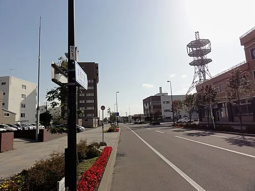
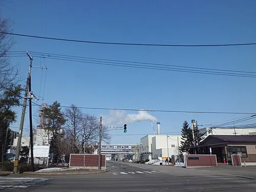
Nearby attractions & nature
Everything nearby-
Toyohira River River, Japan19 km SE
-
Yūbari River River, Japan24 km SE
-
Zenibako River River, Japan22 km SW
-
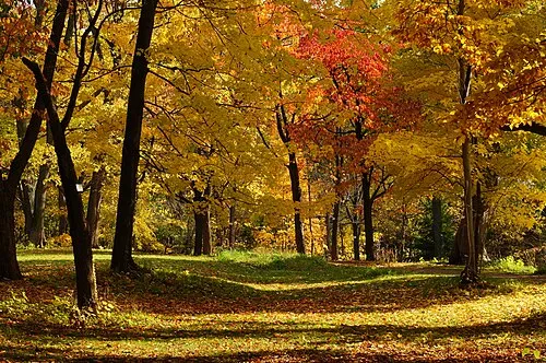 Hokkaido University Botanical Gardens Attraction, Chūō Ku23 km S
-
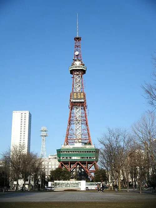 Sapporo TV Tower Landmark, Chūō Ku23 km S
More lakes, rivers and coasts in Japan
-
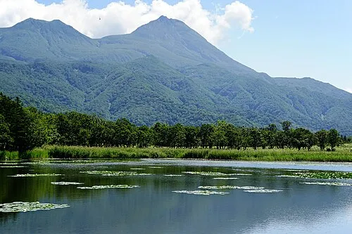 Hokkaido Island, Shintoku Chō128 km E
-
 Yagishiri Island Island, Hokkaido130 km N
-
 Teuri Island Island, Tomamae Gun129 km N
-
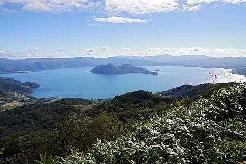 Toya Lake Lake, Hokkaido84 km SW
-
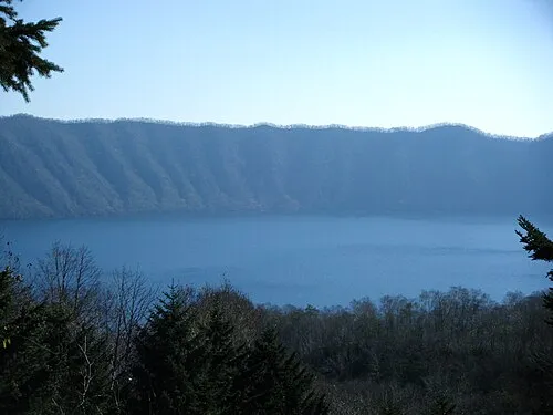 Kuttara-ko Lake, Hokkaido87 km S
-
Mu River River, Hokkaido91 km SE
Sources & licences
Data last updated: · 2 independent sources