- Elevation
- 0 m
- above sea level
- Local time
- UTC+09:00
- Asia/Tokyo · UTC+09:00
- Airports
- OKD Sapporo Okadama Airport11 km
- CTS New Chitose Airport42 km
About Toyohira River
Toyohira River is a river. Location: Japan.
The Toyohira River (豊平川, Toyohira-gawa) is a river in Hokkaido, Japan. It is 72.5 km in length and has drainage area of 894.7 km². It is a tributary of the Ishikari River. It supplies water to Sapporo city, the capital of Hokkaido built on the alluvial fan formed by the river. Jōzankei is a popular attraction with onsen (hot springs) along the upper Toyohira.
Read more on Wikipedia Text: Wikipedia contributors · CC BY-SA 4.0 · shortened
At a glance
- Length
- 72 km
Source: Wikidata
Climate of Toyohira River
Best months for sightseeingBest months for sightseeing: June–September.
Bars: average monthly low and high temperature. Below: precipitation. Monthly averages for 1970–2000 at about 18 km resolution, adjusted for elevation. Highlighted months are mild and relatively dry. Source: WorldClim 2.1 (CC BY 4.0).
Show values as a table
| Month | Jan | Feb | Mar | Apr | May | Jun | Jul | Aug | Sep | Oct | Nov | Dec |
|---|---|---|---|---|---|---|---|---|---|---|---|---|
| Average high (°C) | -2° | -1° | 3° | 10° | 16° | 20° | 24° | 25° | 22° | 16° | 8° | 1° |
| Average low (°C) | -11° | -10° | -5° | 1° | 7° | 11° | 16° | 18° | 12° | 6° | 0° | -7° |
| Precipitation (mm) | 95 | 74 | 61 | 68 | 74 | 75 | 106 | 156 | 139 | 114 | 112 | 109 |
Other places to visit in this season: June July August September
Airports nearest to Toyohira River
- Sapporo Okadama Airport (OKD) Sapporo 11 km
- New Chitose Airport (CTS) Sapporo 42 km
- Asahikawa Airport (AKJ) Higashikagura 96 km
Straight-line distance; airports with scheduled flights only. Source: OurAirports (public domain).
Nearest towns and villages
-
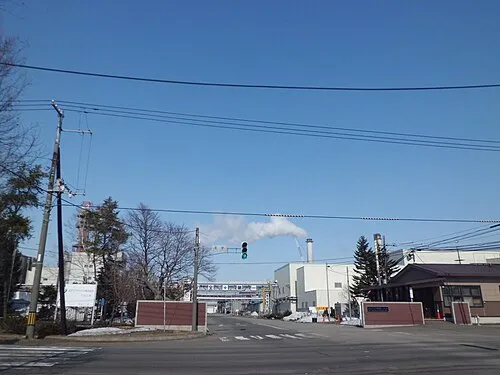 Ebetsu City, Ebetsu Shi3.9 km SE
-
Higashi Ku Municipality, Sapporo-shi9.8 km W
-
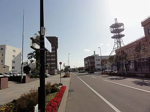 Tōbetsu Town, Tōbetsu Chō9.3 km N
-
Atsubetsu Ku Municipality, Sapporo-shi11 km S
-
Shiroishi Ku Municipality, Sapporo-shi11 km SW
-
Kita Ku Municipality, Sapporo-shi13 km W
Nearby attractions & nature
Everything nearby-
Yūbari River River, Japan5.7 km E
-
Chitose River River, Japan13 km S
-
Ishikari River River, Hokkaido19 km NW
-
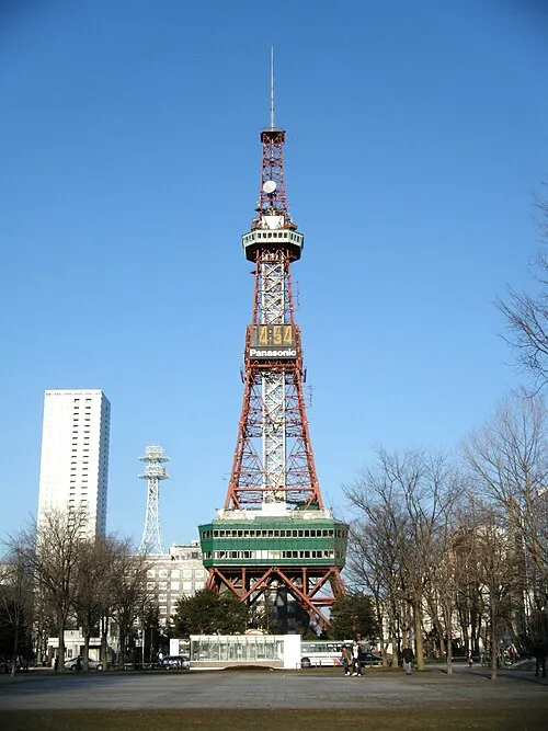 Sapporo TV Tower Landmark, Chūō Ku15 km SW
-
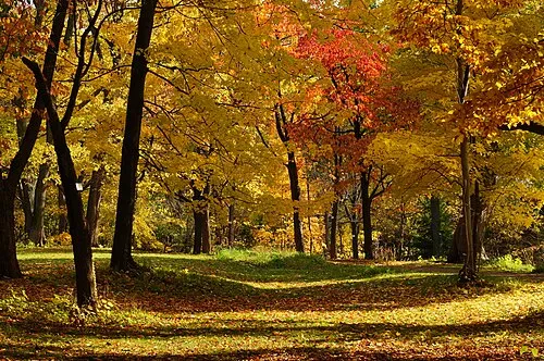 Hokkaido University Botanical Gardens Attraction, Chūō Ku16 km SW
More lakes, rivers and coasts in Japan
-
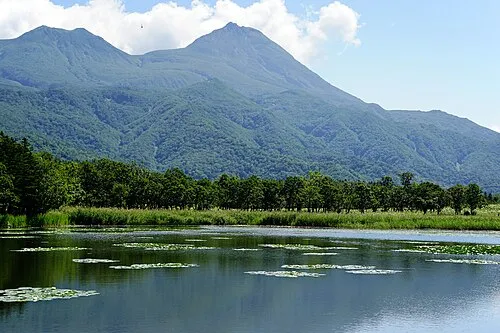 Hokkaido Island, Shintoku Chō120 km E
-
Zenibako River River, Japan28 km W
-
 Yagishiri Island Island, Hokkaido145 km N
-
 Teuri Island Island, Tomamae Gun144 km N
-
Mu River River, Hokkaido72 km SE
-
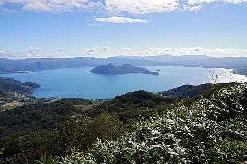 Toya Lake Lake, Hokkaido79 km SW
Sources & licences
Data last updated: · 2 independent sources