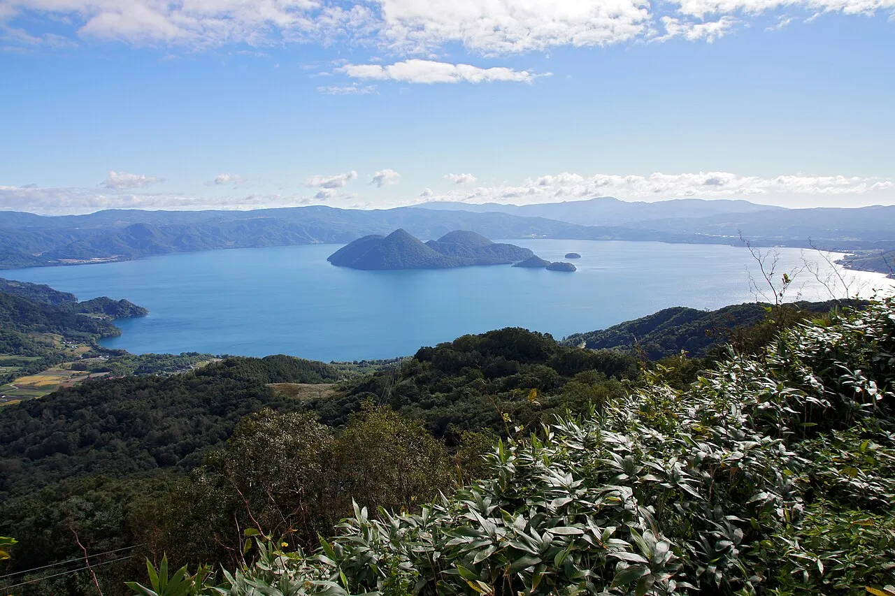
- Elevation
- 80 m
- above sea level
- Local time
- UTC+09:00
- Asia/Tokyo · UTC+09:00
- Airports
- CTS New Chitose Airport70 km
- OKD Sapporo Okadama Airport71 km
About Toya Lake
Toya Lake is a lake. Location: Hokkaido, Japan. Elevation: 80 m.
Lake Tōya (洞爺湖, Tōya-ko) is a volcanic caldera lake in Shikotsu-Toya National Park, Abuta District, Hokkaido, Japan. It is part of "Toya Caldera and Usu Volcano Global Geopark" which joins in Global Geoparks Network. The stratovolcano of Mount Usu lies on the southern rim of the caldera. The lake is nearly circular, being 10 km (6.2 mi) in diameter from the eastwest and 9 km (5.6 mi) from the northsouth.
Source: Wikipedia · CC BY-SA 4.0
At a glance
- Length
- 9 km
- Area
- 70.7 km²
Source: Wikidata
Climate of Toya Lake
Best months for sightseeingBest months for sightseeing: June–September.
This month · November
A wet month
Day 8° · Night 1° · Rain 123 mm
- Hottest month
- August (day 24°)
- Coldest month
- January (night -7°)
- Wettest month
- August (173 mm)
- Driest month
- March (76 mm)
Bars: average monthly low and high temperature. Below: precipitation. Monthly averages for 1970–2000 at about 18 km resolution, adjusted for elevation. Highlighted months are mild and relatively dry. Source: WorldClim 2.1 (CC BY 4.0).
Show values as a table
| Month | Jan | Feb | Mar | Apr | May | Jun | Jul | Aug | Sep | Oct | Nov | Dec |
|---|---|---|---|---|---|---|---|---|---|---|---|---|
| Average high (°C) | -1° | 0° | 3° | 9° | 15° | 19° | 23° | 24° | 21° | 15° | 8° | 3° |
| Average low (°C) | -7° | -7° | -4° | 2° | 7° | 11° | 16° | 18° | 14° | 7° | 1° | -4° |
| Precipitation (mm) | 104 | 82 | 76 | 80 | 86 | 89 | 128 | 173 | 160 | 121 | 123 | 111 |
Other places to visit in this season: June July August September
How to get to Toya Lake
The nearest airport is New Chitose Airport (CTS), 70 km to the east as the crow flies. The nearest large city is Tomakomai, 60 km to the east.
Airports
- New Chitose Airport (CTS) Sapporo 70 kmeast
- Sapporo Okadama Airport (OKD) Sapporo 71 kmnortheast
- Hakodate Airport (HKD) Hakodate 93 kmsouth
Nearby large cities
- Tomakomai Population: 174.8K 60 kmeast
- Sapporo Population: 2M 65 kmnortheast
- Otaru Population: 115.3K 66 kmnorth
- Ebetsu Population: 134K 79 kmnortheast
- Hakodate Population: 275.7K 93 kmsouth
Straight-line distances; road distances are longer. Airport data: OurAirports.
Nearest towns and villages
-
Tōyako Chō Municipality, Abuta-gun4 km NW
-
Sōbetsu Village, Sōbetsu-machi5.5 km S
-
Toyoura Village, Hokkaido14 km W
-
Rusutsu Mura Municipality, Abuta-gun13 km N
-
Rusutsu Village, Rusutsu Mura14 km N
-
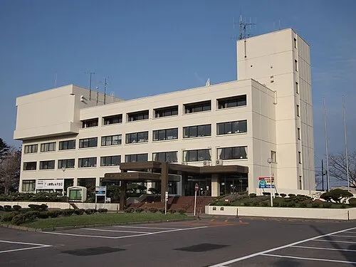 Date City, Date-shi15 km S
Nearby attractions & nature
Everything nearby-
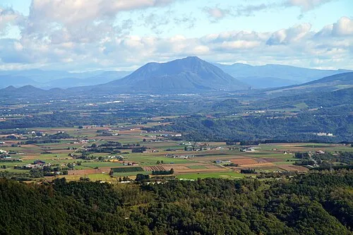 Mount Shiribetsu Mountain, Rusutsu Mura19 km N
-
Mount Usu Mountain, Japan22 km N
More lakes, rivers and coasts in Japan
-
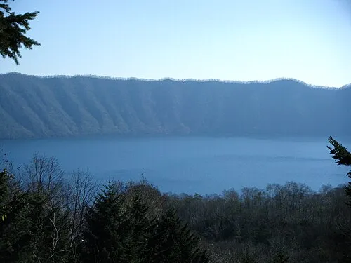 Kuttara-ko Lake, Hokkaido28 km SE
-
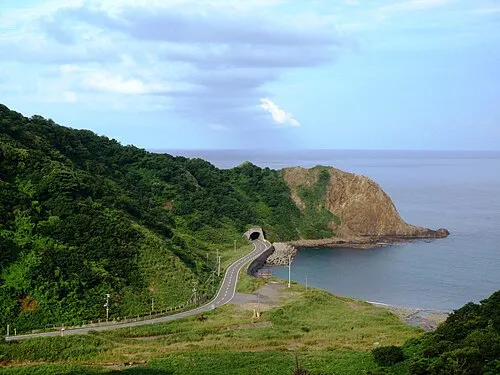 Okushiri Island Island, Okushiri Chō126 km SW
-
Shiribetsu River River, Hokkaido51 km NW
-
Mu River River, Hokkaido87 km E
-
Amanogawa River River, Hokkaido109 km SW
-
Ishikari River River, Hokkaido84 km NE
Sources & licences
Data last updated: · 2 independent sources