- Local time
- UTC+09:00
- Asia/Tokyo · UTC+09:00
- Elevation
- 34 m
- above sea level
- Airports
- OKD Sapporo Okadama Airport7 km
- CTS New Chitose Airport42 km
About Sapporo TV Tower
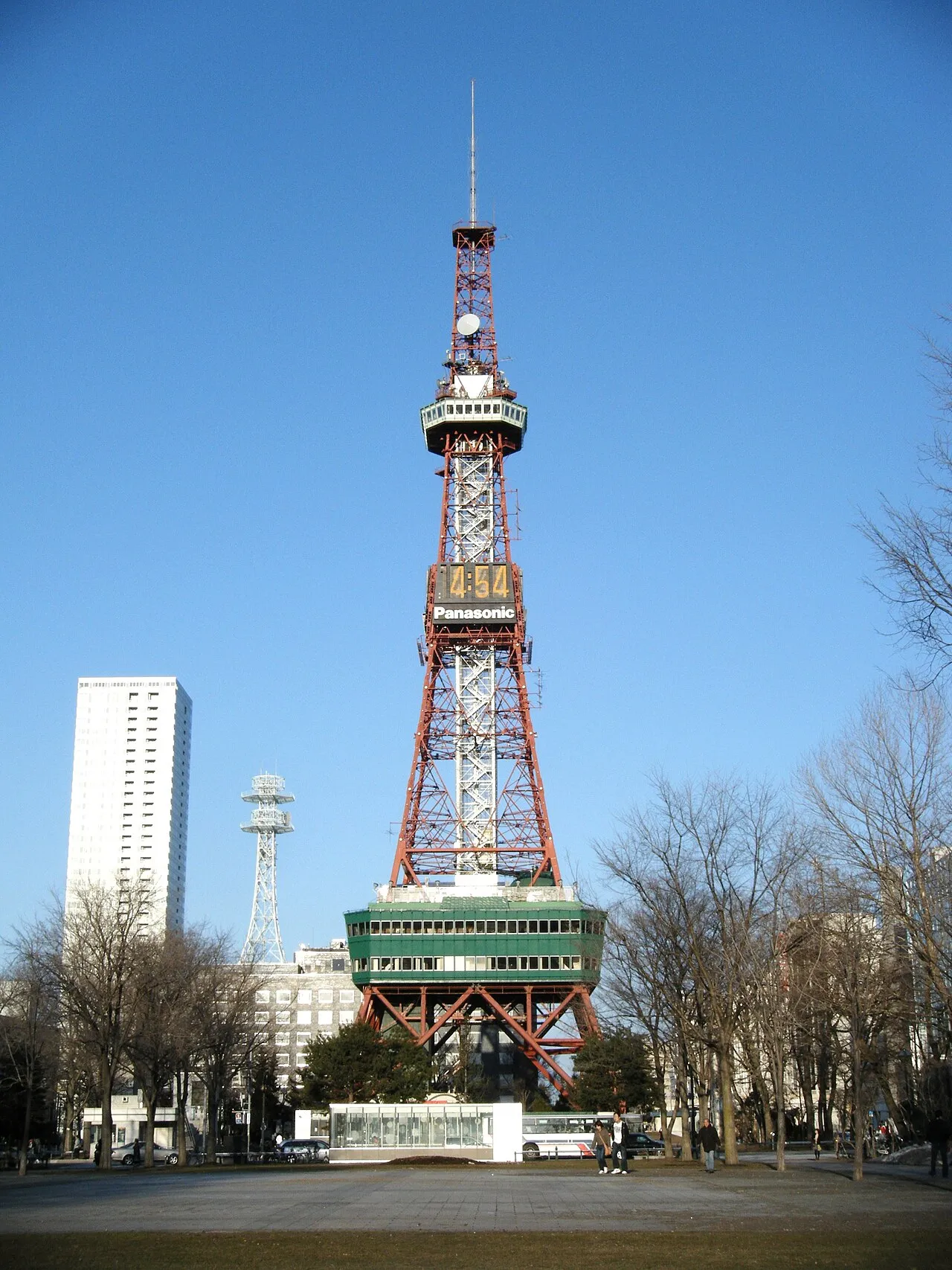
Sapporo TV Tower is a landmark. Location: Chūō Ku, Sapporo-shi.
The Sapporo TV Tower (Japanese: さっぽろテレビ塔, Hepburn: Sapporo Terebi-tō), built in 1957, is a 147.2-metre-high (483 ft) TV tower with an observation deck at a height of 90.38 metres. Located on the ground of Odori Park, in the northern city of Sapporo, Hokkaido, Japan, the tower is open to tourists.
Source: Wikipedia · CC BY-SA 4.0
At a glance
- Opened
- 1957
- Architect
- Tachū Naitō
- Height
- 147 m
- Official website
- tv-tower.co.jp
Source: Wikidata
Photos of Sapporo TV Tower
-

Ray Swi-hymn from Sijhih-Taipei, Taiwan · CC BY-SA 2.0 -

ume-y · CC BY 2.0 -

S5A-0043 · CC BY 4.0 -

othree · CC BY 2.0 -

禁樹なずな · CC BY-SA 4.0


Climate of Sapporo TV Tower
Best months for sightseeingBest months for sightseeing: June–September.
This month · November
A wet month
Day 8° · Night 0° · Rain 119 mm
- Hottest month
- August (day 26°)
- Coldest month
- January (night -9°)
- Wettest month
- August (153 mm)
- Driest month
- March (68 mm)
Bars: average monthly low and high temperature. Below: precipitation. Monthly averages for 1970–2000 at about 18 km resolution, adjusted for elevation. Highlighted months are mild and relatively dry. Source: WorldClim 2.1 (CC BY 4.0).
Show values as a table
| Month | Jan | Feb | Mar | Apr | May | Jun | Jul | Aug | Sep | Oct | Nov | Dec |
|---|---|---|---|---|---|---|---|---|---|---|---|---|
| Average high (°C) | -2° | -1° | 3° | 11° | 17° | 20° | 24° | 26° | 22° | 16° | 8° | 2° |
| Average low (°C) | -9° | -9° | -5° | 2° | 7° | 12° | 16° | 18° | 13° | 6° | 0° | -6° |
| Precipitation (mm) | 102 | 78 | 68 | 68 | 72 | 73 | 105 | 153 | 140 | 118 | 119 | 113 |
Other places to visit in this season: June July August September
How to get to Sapporo TV Tower
The nearest airport is Sapporo Okadama Airport (OKD), 7 km to the north as the crow flies. For international flights: New Chitose Airport (CTS) (42 km). The nearest large city is Sapporo, 1 km to the northwest.
Airports
- Sapporo Okadama Airport (OKD) Sapporo 7 kmnorth
- New Chitose Airport (CTS) Sapporo 42 kmsoutheast
- Asahikawa Airport (AKJ) Higashikagura 111 kmnortheast
Nearby large cities
- Sapporo Population: 2M 1 kmnorthwest
- Ebetsu Population: 134K 17 kmeast
- Otaru Population: 115.3K 32 kmnorthwest
- Tomakomai Population: 174.8K 51 kmsoutheast
- Asahikawa Population: 333.5K 114 kmnortheast
Straight-line distances; road distances are longer. Airport data: OurAirports.
Day trips from Sapporo TV Tower
Within 100 km: 1 historic or cultural site, 19 natural sites, 10 lakes, rivers and coasts.
0–25 km6 places
- Zenibako River River 17 kmNW
- Yūbari River River 19 kmE
- Toyohira River River 15 kmNE
- Ishikari River River 23 kmN
25–60 km9 places
- Mount Shiribetsu Mountain 49 kmSW
- Mount Monbetsu Mountain 31 kmS
- Mount Eniwa Mountain 31 kmS
- Mount Usu Mountain 50 kmSW
60–100 km15 places
- Kuttara-ko Lake 64 kmS
- Saru River River 82 kmSE
- Mount Rubeshibe Mountain 96 kmNE
- Raiden-yama Mountain 75 kmW
Straight-line distances.
Nearby attractions & nature
Everything nearby-
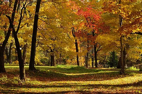 Hokkaido University Botanical Gardens Attraction, Chūō Ku1.1 km W
-
 Toyohira River River, Japan15 km NE
-
 Ishikari River River, Hokkaido23 km N
-
 Chitose River River, Japan18 km E
-
Zenibako River River, Japan17 km NW
-
Yūbari River River, Japan19 km E
Nearest towns and villages
-
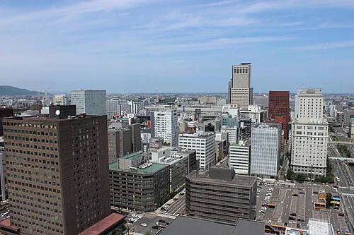 Sapporo City, Sapporo-shi0.8 km NW
-
 Toyohira-ku Municipality, Sapporo-shi3.7 km SE
-
 Shiroishi Ku Municipality, Sapporo-shi5.6 km E
-
 Higashi Ku Municipality, Sapporo-shi6.4 km NE
Sources & licences
Data last updated: · 2 independent sources