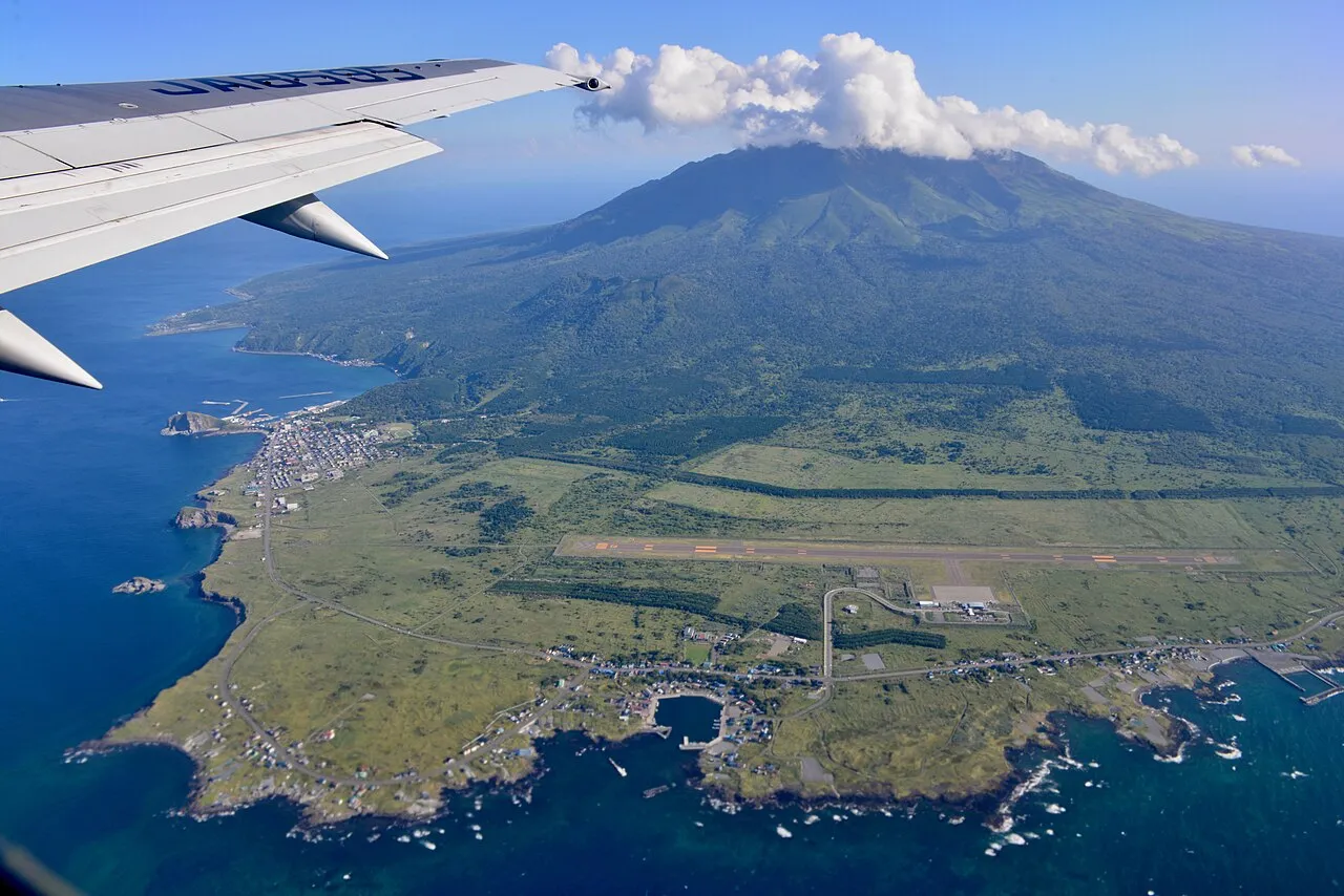
- Elevation
- 1,578 m
- above sea level
- Local time
- UTC+09:00
- Asia/Tokyo · UTC+09:00
- Population
- 5,593
- 5.6K
- Airports
- RIS Rishiri Airport8 km
- WKJ Wakkanai Airport50 km
About Rishiri Tō
Rishiri Tō is an island. Location: Hokkaido, Japan. Population: 5,593.
Rishiri Island (利尻島, Rishiri-tō) is a volcanic island in the Sea of Japan off the coast of Hokkaido, Japan. Administratively the island is part of Hokkaido Prefecture, and is divided between two towns, Rishiri and Rishirifuji. The island is formed by the cone-shaped extinct volcanic peak of Mount Rishiri. Along with Rebun Island and the coastal area of the Sarobetsu Plain, Rishiri forms the Rishiri-Rebun-Sarobetsu National Park. The main industries of Rishiri are tourism and fishing.
Read more on Wikipedia Text: Wikipedia contributors · CC BY-SA 4.0 · shortened
Climate of Rishiri Tō
Bars: average monthly low and high temperature. Below: precipitation. Monthly averages for 1970–2000 at about 18 km resolution, adjusted for elevation. Highlighted months are mild and relatively dry. Source: WorldClim 2.1 (CC BY 4.0).
Show values as a table
| Month | Jan | Feb | Mar | Apr | May | Jun | Jul | Aug | Sep | Oct | Nov | Dec |
|---|---|---|---|---|---|---|---|---|---|---|---|---|
| Average high (°C) | -13° | -13° | -9° | -3° | 2° | 7° | 11° | 13° | 10° | 4° | -4° | -10° |
| Average low (°C) | -18° | -18° | -14° | -9° | -4° | 1° | 5° | 7° | 4° | -2° | -9° | -14° |
| Precipitation (mm) | 95 | 66 | 60 | 58 | 70 | 68 | 100 | 128 | 134 | 135 | 126 | 113 |
Airports nearest to Rishiri Tō
- Rishiri Airport (RIS) Rishiri 8 km
- Wakkanai Airport (WKJ) Wakkanai 50 km
- Asahikawa Airport (AKJ) Higashikagura 193 km
Straight-line distance; airports with scheduled flights only. Source: OurAirports (public domain).
Nearest towns and villages
-
Rishir-ifuji Chō Municipality, Rishiri Gun1.3 km NE
-
Rishiri Chō Municipality, Rishiri Gun4.2 km SW
-
Rishiri Town Village, Rishiri Chō4.4 km SW
-
Rebun Chō Municipality, Rebun Gun28 km NW
-
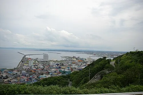 Wakkanai City, Wakkanai Shi42 km NE
-
Teshio-cho Municipality, Teshio Gun51 km SE
More lakes, rivers and coasts in Japan
-
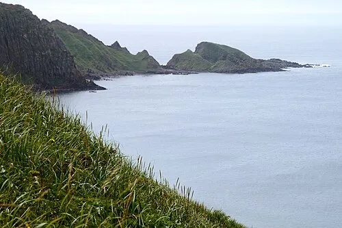 Rebun Tō Island, Hokkaido26 km NW
-
Koetoi River River, Hokkaido47 km NE
-
 Yagishiri Island Island, Hokkaido84 km S
-
 Teuri Island Island, Tomamae Gun84 km S
-
Teshio River River, Hokkaido51 km SE
-
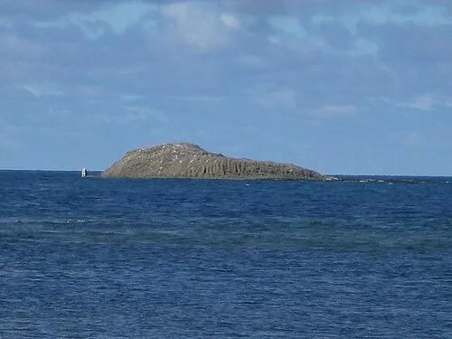 Benten-jima Island, Hokkaido65 km NE
Sources & licences
Data last updated: · 2 independent sources