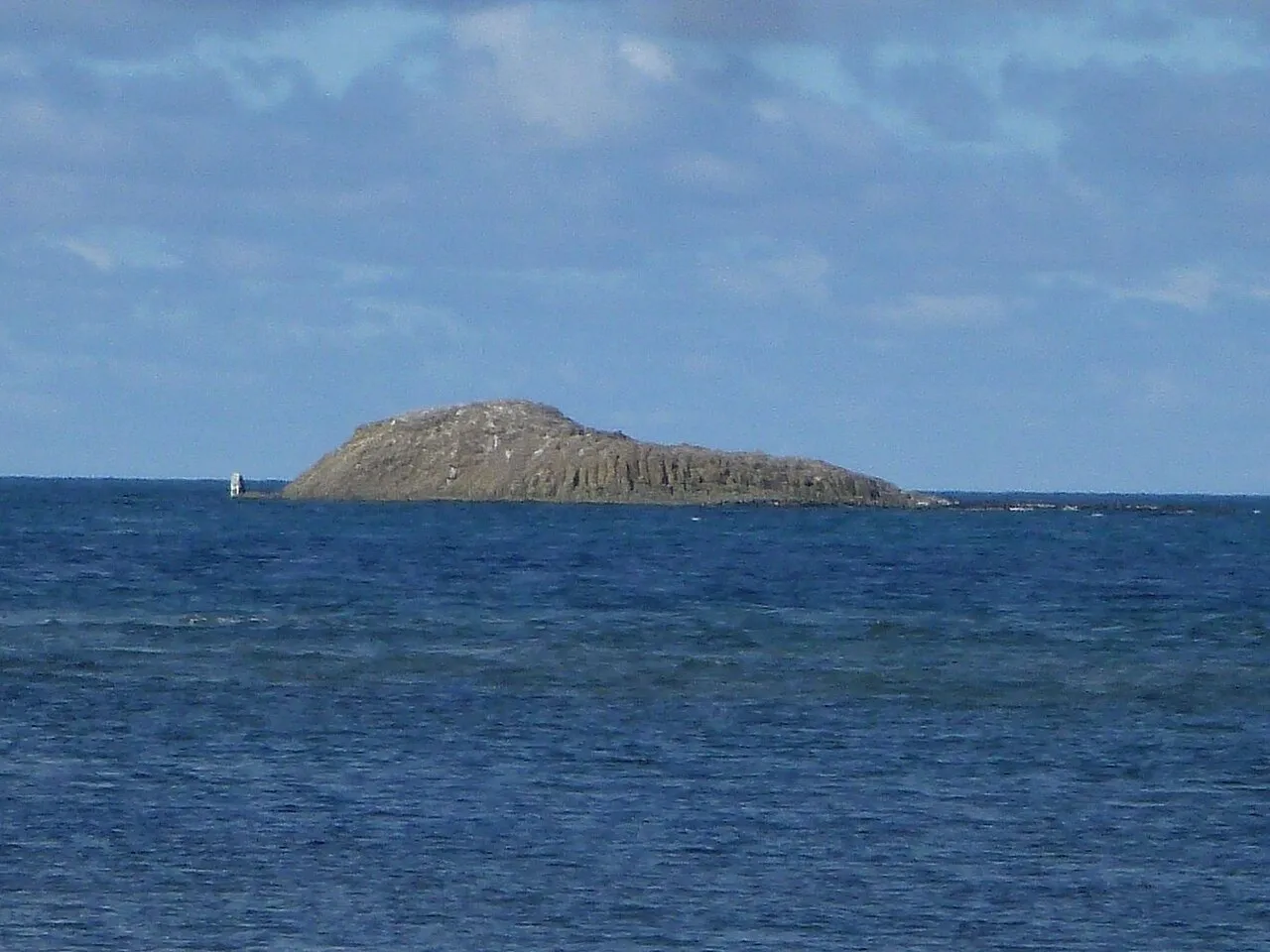
- Elevation
- 20 m
- above sea level
- Local time
- UTC+09:00
- Asia/Tokyo · UTC+09:00
- Airports
- WKJ Wakkanai Airport16 km
- RIS Rishiri Airport66 km
About Benten-jima
Benten-jima is an island. Location: Hokkaido, Japan.
Benten-jima (弁天島) is a small deserted island west by northwest of Cape Sōya, Wakkanai, Hokkaidō, Japan. It is the northernmost piece of land under Japanese control. The island is 1 km (0.54 nmi) north of Sannai settlement. Another island called Hira-shima (平島) lies southeast of Benten-jima. Benten-jima is 0.5 hectares (1.2 acres) in area, its perimeter is roughly 500 metres (1,600 ft), and its highest point is 20 metres (66 ft) above sea level. It is named after Benzaiten, once enshrined on the island.
Read more on Wikipedia Text: Wikipedia contributors · CC BY-SA 4.0 · shortened
At a glance
- Area
- 0.5 ha
Source: Wikidata
Climate of Benten-jima
Best months for sightseeingBest months for sightseeing: July–September.
Bars: average monthly low and high temperature. Below: precipitation. Monthly averages for 1970–2000 at about 18 km resolution, adjusted for elevation. Highlighted months are mild and relatively dry. Source: WorldClim 2.1 (CC BY 4.0).
Show values as a table
| Month | Jan | Feb | Mar | Apr | May | Jun | Jul | Aug | Sep | Oct | Nov | Dec |
|---|---|---|---|---|---|---|---|---|---|---|---|---|
| Average high (°C) | -4° | -4° | 0° | 7° | 11° | 14° | 18° | 21° | 19° | 13° | 5° | -1° |
| Average low (°C) | -9° | -9° | -5° | 1° | 4° | 8° | 13° | 16° | 13° | 7° | -1° | -6° |
| Precipitation (mm) | 89 | 59 | 54 | 51 | 65 | 63 | 88 | 111 | 114 | 122 | 111 | 109 |
Airports nearest to Benten-jima
- Wakkanai Airport (WKJ) Wakkanai 16 km
- Rishiri Airport (RIS) Rishiri 66 km
- Yuzhno-Sakhalinsk International Airport (UUS) Yuzhno-Sakhalinsk 163 km
Straight-line distance; airports with scheduled flights only. Source: OurAirports (public domain).
Nearest towns and villages
-
Makubetsu Town, Wakkanai Shi19 km SW
-
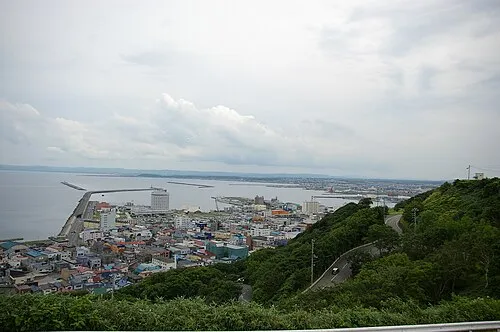 Wakkanai City, Wakkanai Shi23 km SW
-
Sarufutsu Mura Municipality, Sōya Gun37 km SE
-
Toyotomi Village, Toyotomi Chō48 km S
-
Toyotomi Chō Municipality, Teshio Gun43 km S
-
Hamatonbetsu Chō Municipality, Esashi Gun59 km SE
Nearby attractions & nature
Everything nearby-
 Cape Soya Natural site, Wakkanai Shi1.4 km E
-
Koetoi River River, Hokkaido18 km SW
-
Sōya Bay Natural site, Hokkaido15 km SW
More lakes, rivers and coasts in Japan
-
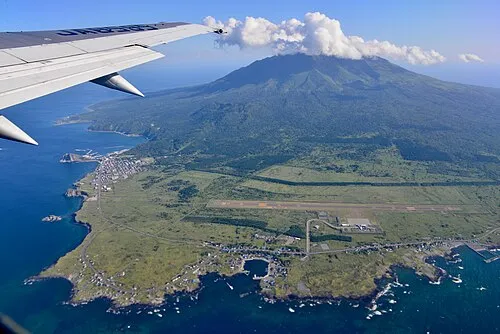 Rishiri Tō Island, Hokkaido65 km SW
-
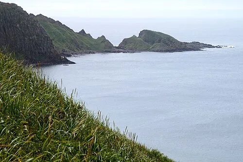 Rebun Tō Island, Hokkaido72 km W
-
 Yagishiri Island Island, Hokkaido128 km S
-
 Teuri Island Island, Tomamae Gun131 km S
-
Teshio River River, Hokkaido73 km S
Sources & licences
Data last updated: · 2 independent sources