- Local time
- UTC+09:00
- Asia/Tokyo · UTC+09:00
- Airports
- WKJ Wakkanai Airport6 km
- RIS Rishiri Airport51 km
About Sōya Bay
Sōya Bay is a natural site. Location: Hokkaido, Japan.
Sōya Bay (宗谷湾, Sōya-wan) is a bay on the north coast of Hokkaidō, Japan. It is demarcated by Cape Sōya to the east and Cape Noshappu to the west, with Wakkanai Port to the southwest, and the Sōya Straits to the north. The Koetoi is the main river that flows into the bay. In the middle of the bay mouth, the water is approximately 30 metres (98 ft) deep, while the bed is of rock or sand.
Source: Wikipedia · CC BY-SA 4.0
Climate of Sōya Bay
Best months for sightseeingBest months for sightseeing: July–September.
This month · November
A wet month
Day 6° · Night 0° · Rain 122 mm
- Hottest month
- August (day 22°)
- Coldest month
- February (night -9°)
- Wettest month
- October (133 mm)
- Driest month
- April (54 mm)
Bars: average monthly low and high temperature. Below: precipitation. Monthly averages for 1970–2000 at about 18 km resolution, adjusted for elevation. Highlighted months are mild and relatively dry. Source: WorldClim 2.1 (CC BY 4.0).
Show values as a table
| Month | Jan | Feb | Mar | Apr | May | Jun | Jul | Aug | Sep | Oct | Nov | Dec |
|---|---|---|---|---|---|---|---|---|---|---|---|---|
| Average high (°C) | -5° | -4° | 0° | 7° | 12° | 16° | 20° | 22° | 19° | 14° | 6° | -1° |
| Average low (°C) | -9° | -9° | -5° | 1° | 5° | 9° | 14° | 16° | 13° | 7° | 0° | -5° |
| Precipitation (mm) | 92 | 61 | 56 | 54 | 66 | 62 | 89 | 114 | 120 | 133 | 122 | 114 |
How to get to Sōya Bay
The nearest airport is Wakkanai Airport (WKJ), 6 km to the southeast as the crow flies. For international flights: Yuzhno-Sakhalinsk International Airport (UUS) (175 km). The nearest large city is Asahikawa, 193 km to the south.
Airports
- Wakkanai Airport (WKJ) Wakkanai 6 kmsoutheast
- Rishiri Airport (RIS) Rishiri 51 kmsouthwest
- Yuzhno-Sakhalinsk International Airport (UUS) Yuzhno-Sakhalinsk 175 kmnortheast
Nearby large cities
- Asahikawa Population: 333.5K 193 kmsouth
- Kitami Population: 119.1K 249 kmsoutheast
- Otaru Population: 115.3K 259 kmsouth
- Ebetsu Population: 134K 261 kmsouth
- Sapporo Population: 2M 267 kmsouth
Straight-line distances; road distances are longer. Airport data: OurAirports.
Nearest towns and villages
-
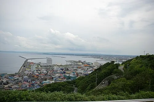 Wakkanai City, Wakkanai Shi8.4 km SW
-
Makubetsu Town, Wakkanai Shi10 km SE
-
Toyotomi Chō Municipality, Teshio Gun34 km S
-
Toyotomi Village, Toyotomi Chō39 km S
-
Sarufutsu Mura Municipality, Sōya Gun38 km SE
-
Rishir-ifuji Chō Municipality, Rishiri Gun49 km SW
Nearby attractions & nature
Everything nearby-
Koetoi River River, Hokkaido5.2 km S
-
 Cape Soya Natural site, Wakkanai Shi16 km NE
-
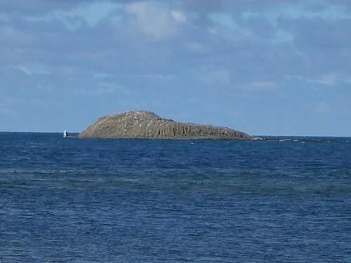 Benten-jima Island, Hokkaido15 km NE
More nature in Japan
-
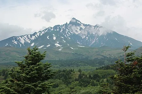 Rishiri Zan Mountain, Rishir-ifuji Chō51 km SW
-
Rebun Dake Mountain, Rebun Chō59 km W
-
Mount Piyashiri Mountain, Monbetsu Gun131 km SE
-
Mount Hako Mountain, Esashi Chō102 km SE
-
Mount Pisshiri Mountain, Enbetsu Chō124 km S
-
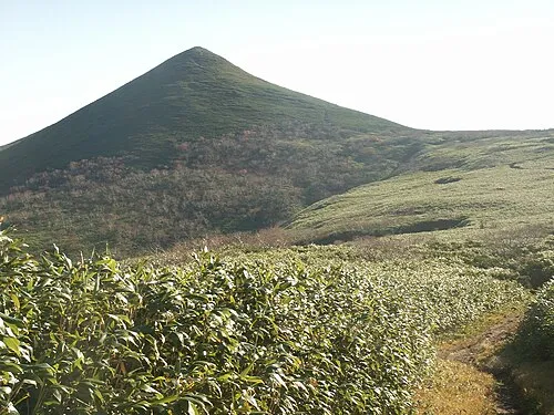 Kitami Sanchi Mountain, Hokkaido142 km SE
Sources & licences
Data last updated: · 2 independent sources