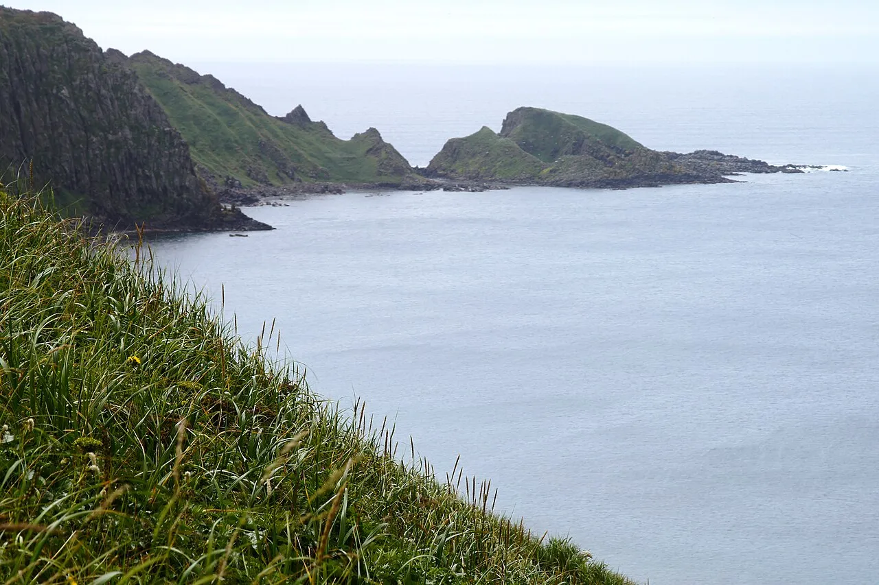
- Elevation
- 219 m
- above sea level
- Local time
- UTC+09:00
- Asia/Tokyo · UTC+09:00
- Population
- 3,142
- 3.1K
- Airports
- RIS Rishiri Airport18 km
- WKJ Wakkanai Airport60 km
About Rebun Tō
Rebun Tō is an island. Location: Hokkaido, Japan. Population: 3,142.
Rebun Island (礼文島, Rebun-tō; Ainu: Repun) is an island in the Sea of Japan off the northwestern tip of Hokkaidō, Japan. The island sits 50 kilometres (31 mi) off the coast of Hokkaidō. Rebun stretches 29 kilometres (18 mi) from north to south and 8 kilometres (5.0 mi) from east to west. The island covers approximately 80 square kilometres (31 mi2). Rebun Island is located 10 kilometres (6.2 mi) northwest of Rishiri Island, and the two islands are separated by the Rebun Channel.
Source: Wikipedia · CC BY-SA 4.0
Climate of Rebun Tō
Best months for sightseeingBest months for sightseeing: July–September.
This month · November
A wet month
Day 5° · Night 0° · Rain 117 mm
- Hottest month
- August (day 21°)
- Coldest month
- January (night -9°)
- Wettest month
- September (126 mm)
- Driest month
- April (55 mm)
Bars: average monthly low and high temperature. Below: precipitation. Monthly averages for 1970–2000 at about 18 km resolution, adjusted for elevation. Highlighted months are mild and relatively dry. Source: WorldClim 2.1 (CC BY 4.0).
Show values as a table
| Month | Jan | Feb | Mar | Apr | May | Jun | Jul | Aug | Sep | Oct | Nov | Dec |
|---|---|---|---|---|---|---|---|---|---|---|---|---|
| Average high (°C) | -4° | -3° | 0° | 6° | 10° | 14° | 18° | 21° | 18° | 12° | 5° | -1° |
| Average low (°C) | -9° | -8° | -5° | 0° | 4° | 8° | 13° | 16° | 12° | 7° | 0° | -5° |
| Precipitation (mm) | 91 | 64 | 57 | 55 | 69 | 69 | 96 | 119 | 126 | 122 | 117 | 106 |
How to get to Rebun Tō
The nearest airport is Rishiri Airport (RIS), 18 km to the southeast as the crow flies. For international flights: Yuzhno-Sakhalinsk International Airport (UUS) (213 km). The nearest large city is Asahikawa, 206 km to the southeast.
Airports
- Rishiri Airport (RIS) Rishiri 18 kmsoutheast
- Wakkanai Airport (WKJ) Wakkanai 60 kmeast
- Yuzhno-Sakhalinsk International Airport (UUS) Yuzhno-Sakhalinsk 213 kmnortheast
Nearby large cities
- Asahikawa Population: 333.5K 206 kmsoutheast
- Otaru Population: 115.3K 242 kmsouth
- Ebetsu Population: 134K 254 kmsouth
- Sapporo Population: 2M 257 kmsouth
- Kitami Population: 119.1K 286 kmsoutheast
Straight-line distances; road distances are longer. Airport data: OurAirports.
Nearest towns and villages
-
Rebun Chō Municipality, Rebun Gun1.3 km NW
-
Rishir-ifuji Chō Municipality, Rishiri Gun26 km SE
-
Rishiri Chō Municipality, Rishiri Gun26 km SE
-
Rishiri Town Village, Rishiri Chō26 km SE
-
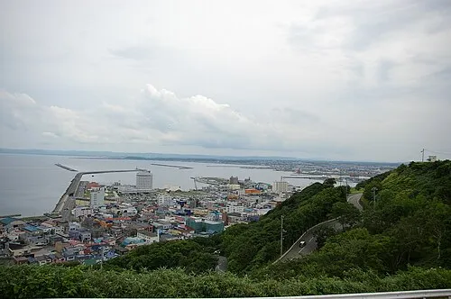 Wakkanai City, Wakkanai Shi50 km E
More lakes, rivers and coasts in Japan
-
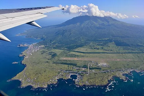 Rishiri Tō Island, Hokkaido26 km SE
-
 Yagishiri Island Island, Hokkaido107 km S
-
 Teuri Island Island, Tomamae Gun107 km S
-
Koetoi River River, Hokkaido57 km E
-
Teshio River River, Hokkaido77 km SE
-
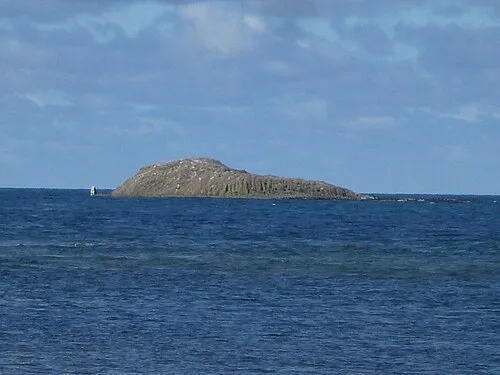 Benten-jima Island, Hokkaido72 km E
Sources & licences
Data last updated: · 2 independent sources