- Local time
- UTC+09:00
- Asia/Tokyo · UTC+09:00
- Airports
- OBO Tokachi-Obihiro Airport37 km
- KUH Kushiro Airport58 km
About Tokachi Gawa
Tokachi Gawa is a river. Location: Hokkaido, Japan. The best months to visit are July–August. The nearest airport is Tokachi-Obihiro Airport (37 km).
At a glance
- Length
- 196 km
Source: Wikidata
Climate of Tokachi Gawa
Best months for sightseeingBest months for sightseeing: July–August.
This month · November
A cold month
Day 8° · Night -2° · Rain 72 mm
- Hottest month
- August (day 23°)
- Coldest month
- January (night -15°)
- Wettest month
- September (162 mm)
- Driest month
- February (39 mm)
Bars: average monthly low and high temperature. Below: precipitation. Monthly averages for 1970–2000 at about 18 km resolution, adjusted for elevation. Highlighted months are mild and relatively dry. Source: WorldClim 2.1 (CC BY 4.0).
Show values as a table
| Month | Jan | Feb | Mar | Apr | May | Jun | Jul | Aug | Sep | Oct | Nov | Dec |
|---|---|---|---|---|---|---|---|---|---|---|---|---|
| Average high (°C) | -3° | -2° | 2° | 10° | 15° | 18° | 22° | 23° | 20° | 15° | 8° | 1° |
| Average low (°C) | -15° | -14° | -7° | 0° | 5° | 10° | 14° | 16° | 12° | 4° | -2° | -9° |
| Precipitation (mm) | 55 | 39 | 65 | 70 | 90 | 91 | 106 | 123 | 162 | 108 | 72 | 48 |
How to get to Tokachi Gawa
The nearest airport is Tokachi-Obihiro Airport (OBO), 37 km to the west as the crow flies. The nearest large city is Obihiro, 45 km to the northwest.
Airports
- Tokachi-Obihiro Airport (OBO) Obihiro 37 kmwest
- Kushiro Airport (KUH) Kushiro 58 kmnortheast
- Memanbetsu Airport (MMB) Ōzora 138 kmnorth
Nearby large cities
- Obihiro Population: 166.5K 45 kmnorthwest
- Kushiro Population: 167.9K 66 kmnortheast
- Kitami Population: 119.1K 125 kmnorth
- Asahikawa Population: 333.5K 160 kmnorthwest
- Tomakomai Population: 174.8K 169 kmwest
Straight-line distances; road distances are longer. Airport data: OurAirports.
Nearest towns and villages
-
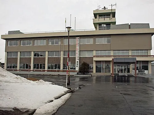 Honchō Town, Urahoro Chō13 km N
-
Toyokoro Chō Municipality, Nakagawa-gun16 km W
-
Toyokoro Village, Toyokoro Chō17 km NW
-
Makubetsu Chō Municipality, Nakagawa-gun29 km W
-
Urahoro Chō Municipality, Tokachi-gun25 km N
-
Sarubetsu Town, Makubetsu Chō33 km NW
More lakes, rivers and coasts in Japan
-
Tokachi River River, Hokkaido4.9 km NE
-
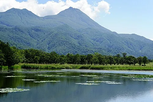 Hokkaido Island, Shintoku Chō101 km NW
-
Akan River River, Hokkaido61 km NE
-
 Akan Ko Lake, Hokkaido92 km NE
-
Kusiro River River, Hokkaido66 km NE
-
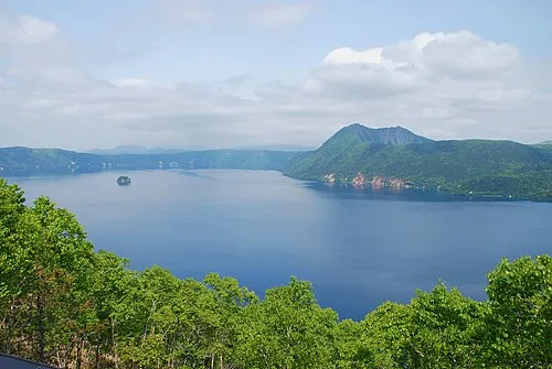 Lake Mashū Lake, Hokkaido122 km NE
Sources & licences
Data last updated: · 2 independent sources