- Local time
- UTC+09:00
- Asia/Tokyo · UTC+09:00
- Airports
- KUH Kushiro Airport16 km
- SHB Nakashibetsu Airport82 km
About Kusiro River
Kusiro River is a river. Location: Hokkaido, Japan.
Kushiro River (釧路川, Kushiro-gawa) is a Class A river in Hokkaidō, Japan. It is 154 kilometers (96 mi) in length and has a drainage area of 2,510 square kilometers (970 sq mi). The Kushiro originates from Lake Kussharo and flows south across the Kushiro Plain. The river is joined by two tributaries, the Kuchoro River (60.2 kilometres (37.4 mi)) and the Setsuri River (59.8 kilometres (37.2 mi)), before it empties into the Pacific Ocean at the port at Kushiro. The lower reaches of the river form broad wetlands.
Read more on Wikipedia Text: Wikipedia contributors · CC BY-SA 4.0 · shortened
At a glance
- Length
- 154 km
Source: Wikidata
Climate of Kusiro River
Best months for sightseeingBest months for sightseeing: July–September.
Bars: average monthly low and high temperature. Below: precipitation. Monthly averages for 1970–2000 at about 18 km resolution, adjusted for elevation. Highlighted months are mild and relatively dry. Source: WorldClim 2.1 (CC BY 4.0).
Show values as a table
| Month | Jan | Feb | Mar | Apr | May | Jun | Jul | Aug | Sep | Oct | Nov | Dec |
|---|---|---|---|---|---|---|---|---|---|---|---|---|
| Average high (°C) | -1° | -1° | 2° | 8° | 12° | 15° | 19° | 21° | 19° | 15° | 8° | 2° |
| Average low (°C) | -11° | -11° | -6° | 0° | 4° | 9° | 13° | 15° | 12° | 6° | -1° | -7° |
| Precipitation (mm) | 48 | 37 | 66 | 80 | 105 | 102 | 108 | 122 | 152 | 112 | 75 | 47 |
Airports nearest to Kusiro River
- Kushiro Airport (KUH) Kushiro 16 km
- Nakashibetsu Airport (SHB) Nakashibetsu 82 km
- Tokachi-Obihiro Airport (OBO) Obihiro 98 km
Straight-line distance; airports with scheduled flights only. Source: OurAirports (public domain).
Nearest towns and villages
-
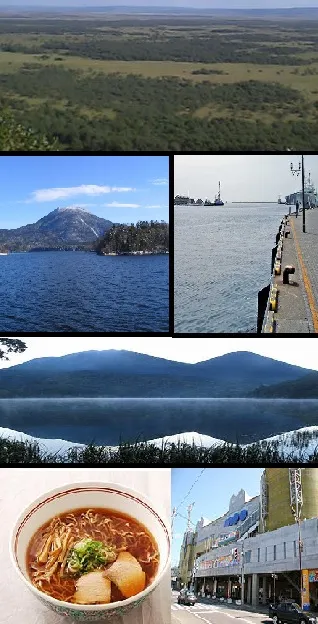 Kushiro City, Kushiro Shi0.6 km SE
-
Kushiro-cho Municipality, Kushiro-gun7.9 km E
-
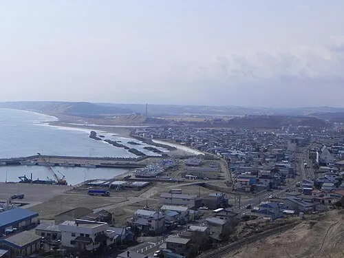 Shiranuka Town, Shiranuka Chō23 km W
-
Tsurui Mura Municipality, Akan-gun31 km N
-
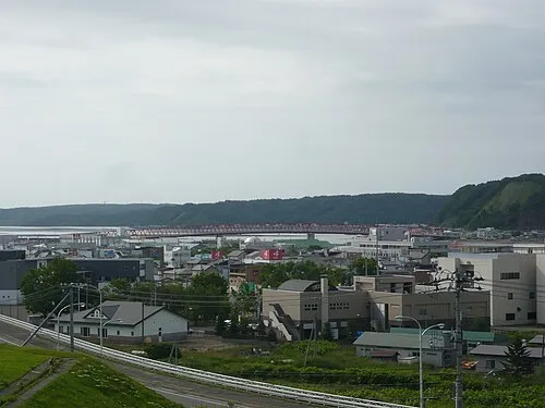 Akkeshi Town, Akkeshi Chō40 km E
-
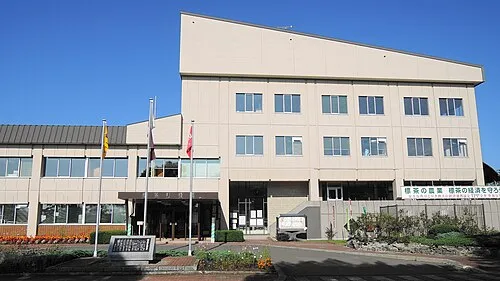 Shibecha Town, Shibecha Chō37 km NE
Nearby attractions & nature
Everything nearby-
Akan River River, Hokkaido8.3 km W
-
Setsuri Gawa River, Hokkaido10 km N
More lakes, rivers and coasts in Japan
-
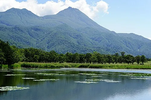 Hokkaido Island, Shintoku Chō127 km NW
-
Shisetsuri Gawa River, Hokkaido29 km N
-
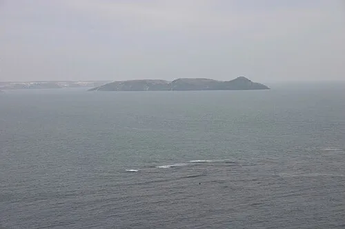 Daikoku Island Island, Hokkaido41 km E
-
 Akan Ko Lake, Hokkaido57 km N
-
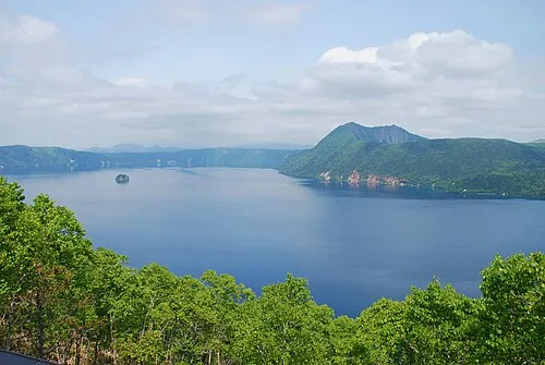 Lake Mashū Lake, Hokkaido69 km N
-
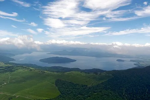 Kussharo Ko Lake, Hokkaido71 km N
Sources & licences
Data last updated: · 2 independent sources