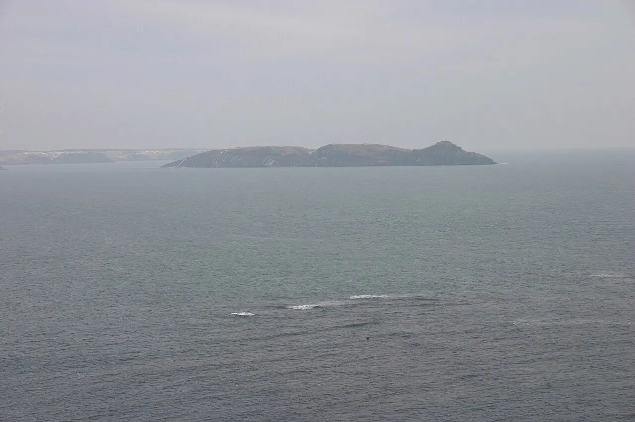
- Elevation
- 45 m
- above sea level
- Local time
- UTC+09:00
- Asia/Tokyo · UTC+09:00
- Airports
- KUH Kushiro Airport56 km
- SHB Nakashibetsu Airport70 km
About Daikoku Island
Daikoku Island is an island. Location: Hokkaido, Japan.
Daikoku Island (大黒島, Daikoku-jima) is an uninhabited island in Akkeshi, Hokkaidō, Japan. Together with the smaller island of Kojima (小島) to the north, it forms a natural breakwater at the entrance to Akkeshi Bay (厚岸湾). At the southwest tip of the island at an elevation of approximately 105 metres is Akkeshi Lighthouse (厚岸灯台), which began operations on 25 November 1890. Of the island's 107 hectares, 64 are owned by the state, 42 by the municipality, and one is in private hands.
Source: Wikipedia · CC BY-SA 4.0
At a glance
- Area
- 1.1 km²
Source: Wikidata
Climate of Daikoku Island
Best months for sightseeingBest months for sightseeing: July–September.
This month · November
A cold month
Day 8° · Night 2° · Rain 82 mm
- Hottest month
- August (day 21°)
- Coldest month
- February (night -8°)
- Wettest month
- September (163 mm)
- Driest month
- February (38 mm)
Bars: average monthly low and high temperature. Below: precipitation. Monthly averages for 1970–2000 at about 18 km resolution, adjusted for elevation. Highlighted months are mild and relatively dry. Source: WorldClim 2.1 (CC BY 4.0).
Show values as a table
| Month | Jan | Feb | Mar | Apr | May | Jun | Jul | Aug | Sep | Oct | Nov | Dec |
|---|---|---|---|---|---|---|---|---|---|---|---|---|
| Average high (°C) | -1° | -1° | 2° | 7° | 11° | 14° | 18° | 21° | 19° | 14° | 8° | 3° |
| Average low (°C) | -8° | -8° | -4° | 1° | 5° | 9° | 13° | 16° | 14° | 8° | 2° | -4° |
| Precipitation (mm) | 50 | 38 | 63 | 80 | 104 | 99 | 105 | 123 | 163 | 119 | 82 | 51 |
How to get to Daikoku Island
The nearest airport is Kushiro Airport (KUH), 56 km to the west as the crow flies. The nearest large city is Kushiro, 41 km to the west.
Airports
- Kushiro Airport (KUH) Kushiro 56 kmwest
- Nakashibetsu Airport (SHB) Nakashibetsu 70 kmnorth
- Memanbetsu Airport (MMB) Ōzora 118 kmnorthwest
Nearby large cities
- Kushiro Population: 167.9K 41 kmwest
- Kitami Population: 119.1K 123 kmnorthwest
- Obihiro Population: 166.5K 136 kmwest
- Asahikawa Population: 333.5K 223 kmnorthwest
- Tomakomai Population: 174.8K 270 kmwest
Straight-line distances; road distances are longer. Airport data: OurAirports.
Nearest towns and villages
-
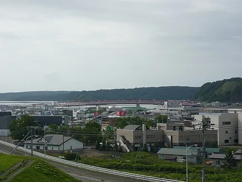 Akkeshi Town, Akkeshi Chō9.2 km N
-
Akkeshi Chō Municipality, Akkeshi-gun20 km N
-
Kushiro-cho Municipality, Kushiro-gun34 km W
-
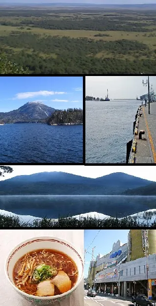 Kushiro City, Kushiro Shi41 km W
-
Hamanaka Chō Municipality, Akkeshi-gun29 km NE
-
Hamanaka-sakuraminami Town, Hamanaka Chō29 km NE
More lakes, rivers and coasts in Japan
-
 Kenbokke Tō Island, Hokkaido22 km NE
-
Kusiro River River, Hokkaido41 km W
-
Akan River River, Hokkaido49 km W
-
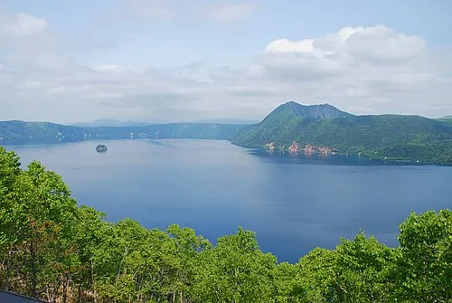 Lake Mashū Lake, Hokkaido75 km N
-
Setsuri Gawa River, Hokkaido40 km W
-
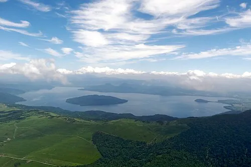 Kussharo Ko Lake, Hokkaido87 km NW
Sources & licences
Data last updated: · 2 independent sources