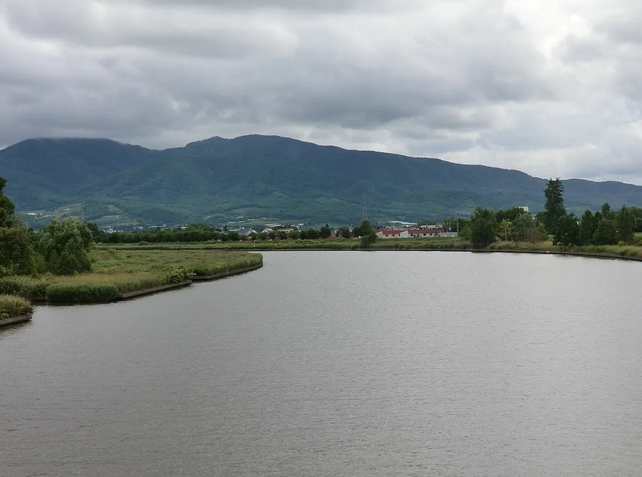
- Population
- 18,993
- 19K
- Elevation
- 2 m
- above sea level
- Local time
- UTC+09:00
- Asia/Tokyo · UTC+09:00
- Airports
- OKD Sapporo Okadama Airport51 km
- CTS New Chitose Airport89 km
About Yoichi
Yoichi is a town. Location: Yoichi-chō, Yoichi-gun. Population: 18,993. Elevation: 2 m.
Yoichi (余市町, Yoichi-chō) is a town located in the Shiribeshi Subprefecture, Hokkaido, Japan.
Source: Wikipedia · CC BY-SA 4.0
Photos of Yoichi
-

Ray Swi-hymn from Sijhih-Taipei, Taiwan · CC BY-SA 2.0 -

Norio NAKAYAMA from saitama, japan · CC BY-SA 2.0 -

bryan... from Taipei, Taiwan · CC BY-SA 2.0 -

Gpx-evo · CC BY-SA 4.0 -

くろふね · CC BY-SA 4.0


Travel notes for Yoichi
From Wikivoyage
Yoichi (余市) is a small city in Hokkaido, with two claims to fame: whiskey and ski jumping.
In recent decades, Yoichi has also emerged as Japan's premier cool-climate wine region. Designated as a Special District for Wine in 2011, the area now hosts over 20 wineries producing world-class Pinot Noir, Chardonnay, and sparkling wines. Many young winemakers trained overseas before returning to create innovative wines that pair specifically with Japanese cuisine, establishing Yoichi as a serious contender in the international wine scene.
Understand+
Tourist Information Site:
The local sightseeing association has a Japanese-only guide site, as well as a simpler English site
For comprehensive English-language information about Yoichi's wine region, including all wineries with visiting details and contact information, see this wine directory.
Get in+
Yoichi is about 70 minutes from Sapporo by train, with a change to the Kutchan Line at Otaru (24 min).
Source: Wikivoyage · CC BY-SA 4.0 · abridged
Places bordering Yoichi
- Otaru
- Akaigawa
- Niki
Twin towns and sister cities of Yoichi
- East Dunbartonshire· United Kingdom
- Gojō· Japan
- Aizu-Wakamatsu· Japan
Source: Wikidata. Only places with a page on this site are shown.
Population of Yoichi over time
| 2010 | 21,258 | |
|---|---|---|
| 2014 | 20,353 | |
| 2015 | 19,607 | |
| 2020 | 18,252 |
Censuses and official estimates; source: Wikidata.
Climate of Yoichi
Best months for sightseeingBest months for sightseeing: June–September.
This month · November
A wet month
Day 8° · Night 1° · Rain 145 mm
- Hottest month
- August (day 26°)
- Coldest month
- January (night -7°)
- Wettest month
- January (159 mm)
- Driest month
- May (65 mm)
Bars: average monthly low and high temperature. Below: precipitation. Monthly averages for 1970–2000 at about 18 km resolution, adjusted for elevation. Highlighted months are mild and relatively dry. Source: WorldClim 2.1 (CC BY 4.0).
Show values as a table
| Month | Jan | Feb | Mar | Apr | May | Jun | Jul | Aug | Sep | Oct | Nov | Dec |
|---|---|---|---|---|---|---|---|---|---|---|---|---|
| Average high (°C) | -1° | 0° | 4° | 10° | 16° | 20° | 24° | 26° | 22° | 16° | 8° | 2° |
| Average low (°C) | -7° | -7° | -4° | 2° | 7° | 12° | 17° | 18° | 13° | 7° | 1° | -4° |
| Precipitation (mm) | 159 | 115 | 81 | 66 | 65 | 69 | 97 | 133 | 140 | 122 | 145 | 150 |
Other places to visit in this season: June July August September
How to get to Yoichi
The nearest airport is Sapporo Okadama Airport (OKD), 51 km to the east as the crow flies. For international flights: New Chitose Airport (CTS) (89 km). The nearest large city is Otaru, 19 km to the east.
Airports
- Sapporo Okadama Airport (OKD) Sapporo 51 kmeast
- New Chitose Airport (CTS) Sapporo 89 kmsoutheast
- Asahikawa Airport (AKJ) Higashikagura 145 kmeast
Nearby large cities
- Otaru Population: 115.3K 19 kmeast
- Sapporo Population: 2M 50 kmeast
- Ebetsu Population: 134K 64 kmeast
- Tomakomai Population: 174.8K 93 kmsoutheast
- Asahikawa Population: 333.5K 144 kmnortheast
Straight-line distances; road distances are longer. Airport data: OurAirports.
Day trips from Yoichi
Within 100 km: 2 historic and cultural sites, 13 natural sites, 8 lakes, rivers and coasts.
0–25 km1 place
- Shakotan-hantō Natural site 23 kmW
25–60 km11 places
- Zenibako River River 33 kmE
- Mount Shiribetsu Mountain 49 kmS
- Raiden-yama Mountain 42 kmSW
- Mount Usu Mountain 45 kmS
60–100 km11 places
- Kuttara-ko Lake 85 kmSE
- Mount Monbetsu Mountain 69 kmSE
- Mount Eniwa Mountain 63 kmSE
- Mount Shokanbetsu Mountain 85 kmNE
Straight-line distances.
Sources & licences
Data last updated: · 2 independent sources