- Population
- 220,411
- 220.4K
- Elevation
- 84 m
- above sea level
- Local time
- UTC+09:00
- Asia/Tokyo · UTC+09:00
- Airports
- UKB Kobe Airport15 km
- KIX Kansai International Airport30 km
About Tarumi Ku
Tarumi Ku is a municipality. Location: Kōbe Shi, Hyōgo. Population: 220,411. Elevation: 84 m.
Tarumi (垂水区, Tarumi-ku) is one of nine wards of Kobe, Japan. It has an area of 26.89 km2, and a population of 219,958 (2008). Tarumi is a suburban area in western Kobe, providing residential towns for commuters to downtown Kobe and even Osaka. The Akashi Kaikyō Bridge starts from this ward toward Awaji Island. The area belonged to the Akashi Domain of Harima Province until the end of the Edo period. In 1899, the village of Tarumi was formed within Akashi District. In 1928, Tarumi village was renamed as a town.
Source: Wikipedia · CC BY-SA 4.0
Population of Tarumi Ku over time
| 2010 | 220,411 | |
|---|---|---|
| 2015 | 219,474 | |
| 2021 | 214,016 | |
| 2023 | 210,174 |
Censuses and official estimates; source: Wikidata.
Climate of Tarumi Ku
Best months for sightseeingBest months for sightseeing: May–June, October.
This month · November
Outside the best season
Day 16° · Night 8° · Rain 69 mm
Better nearby cities in November
- Kochi · 186 km southwest18°
- Fujinomiya · 330 km east18°
- Fuji · 335 km east20°
- Hottest month
- August (day 31°)
- Coldest month
- January (night 1°)
- Wettest month
- June (211 mm)
- Driest month
- December (35 mm)
Bars: average monthly low and high temperature. Below: precipitation. Monthly averages for 1970–2000 at about 18 km resolution, adjusted for elevation. Highlighted months are mild and relatively dry. Source: WorldClim 2.1 (CC BY 4.0).
Show values as a table
| Month | Jan | Feb | Mar | Apr | May | Jun | Jul | Aug | Sep | Oct | Nov | Dec |
|---|---|---|---|---|---|---|---|---|---|---|---|---|
| Average high (°C) | 8° | 9° | 12° | 18° | 23° | 26° | 30° | 31° | 27° | 22° | 16° | 11° |
| Average low (°C) | 1° | 1° | 3° | 9° | 14° | 18° | 23° | 23° | 20° | 13° | 8° | 3° |
| Precipitation (mm) | 42 | 55 | 92 | 133 | 140 | 211 | 152 | 96 | 188 | 108 | 69 | 35 |
How to get to Tarumi Ku
The nearest airport is Kobe Airport (UKB), 15 km to the east as the crow flies. The nearest large city is Akashi, 5 km to the west.
Airports
- Kobe Airport (UKB) Kobe 15 kmeast
- Kansai International Airport (KIX) Osaka 30 kmsoutheast
- Osaka Itami International Airport (ITM) Osaka 38 kmnortheast
Nearby large cities
- Akashi Population: 303.6K 5 kmwest
- Kakogawa Population: 271.6K 25 kmnorthwest
- Nishinomiya Population: 485.6K 26 kmeast
- Sandachō Population: 132.9K 30 kmnortheast
- Takarazuka Population: 226.4K 32 kmnortheast
Straight-line distances; road distances are longer. Airport data: OurAirports.
Day trips from Tarumi Ku
Within 100 km: 32 historic and cultural sites, 43 natural sites, 26 lakes, rivers and coasts.
0–25 km9 places
- Mount Rokkō Mountain 23 kmNE
- Mount Taishaku Mountain 16 kmN
- Mount Chigogabaka Mountain 17 kmNE
- Akashi Castle Historic site 6 kmW
25–60 km23 places
- Awaji Island Island 36 kmSW
- Tenpō Zan Mountain 34 kmE
- Yodo River River 33 kmE
- Kizu River River 36 kmE
60–100 km69 places
- Te Shima Island 92 kmW
- Ogi Shima Island 95 kmW
- Megi Shima Island 97 kmW
- Mount Miwa Mountain 75 kmE
Straight-line distances.
Tarumi Ku and similar cities
Side by side with cities of similar size in the same country: population, elevation and climate.
| Measure | Tarumi Ku | Atsugi | Minamirinkan | Ōta |
|---|---|---|---|---|
| Population | 220.4K | 224K | 224K | 224.4K |
| Elevation | 84 m | 26 m | 79 m | 50 m |
| Summer day (hottest month) | 31° | 31° | 30° | 30° |
| Winter night (coldest month) | 1° | 1° | 0° | -2° |
| Annual rainfall | 1,321 mm | 1,663 mm | 1,663 mm | 1,243 mm |
| Best months | May–Jun, Oct | Apr–Jun, Oct | May–Jun, Sep–Oct | May, Oct |
| Distance | — | 403 km | 411 km | 432 km |
Climate values are 1970–2000 monthly averages; straight-line distance.
Nearby attractions & nature
Everything nearby-
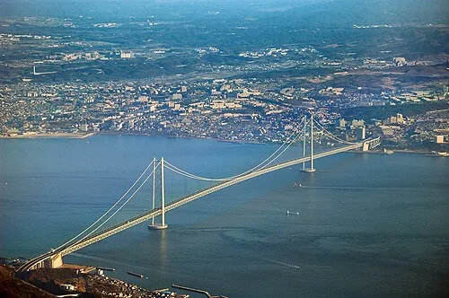 Akashi Kaikyō Bridge Landmark, Japan5.2 km SW
-
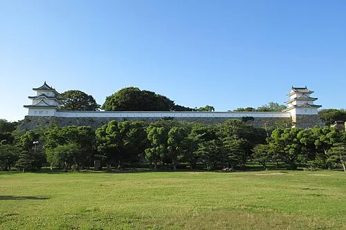 Akashi Castle Historic site, Akashi Shi6.2 km W
-
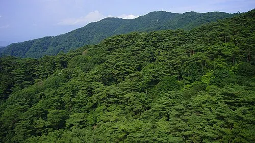 Mount Rokkō Mountain, Kita Ku23 km NE
-
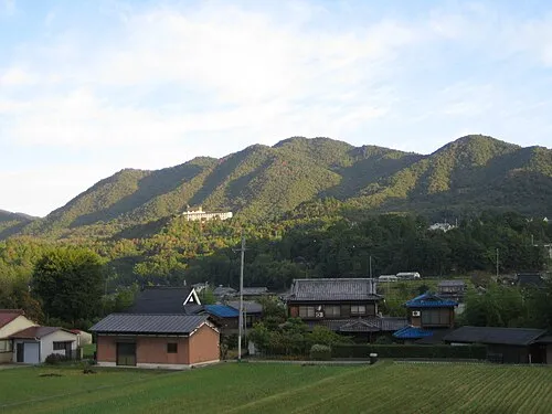 Mount Chigogabaka Mountain, Kita Ku17 km NE
-
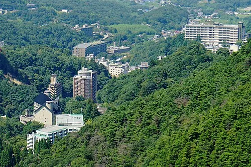 Arima-onsen Natural site, Hyōgo24 km NE
-
Mount Taishaku Mountain, Kita Ku16 km N
-
Mayazan Tenjō-ji Attraction, Nada Ku17 km NE
-
Mount Maya Mountain, Awaji Shi25 km SW
Sources & licences
Data last updated: · 2 independent sources