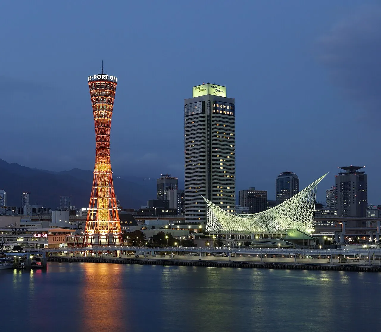
- Population
- 5,469,762
- 5.5M
- Elevation
- 203 m
- above sea level
- Local time
- UTC+09:00
- Asia/Tokyo · UTC+09:00
- Places inside
- 45
- listed under Hyōgo
- Airports
- TJH Konotori Tajima Airport53 km
- UKB Kobe Airport58 km
About Hyōgo
Hyōgo is a region. Location: Japan. Population: 5,469,762.
Hyōgo Prefecture (兵庫県, Hyōgo-ken; pronounced [çj̊ó̞ò̞.ɡò̞, -ŋò̞, çj̊ò̞ó̞.ɡó̞.kè̞ɴ̀, çj̊ó̞ó̞.ɡó̞-, -ŋó̞-]) is a prefecture of Japan located in the Kansai region of Honshu. Hyōgo Prefecture has a population of 5,292,593 (as of 1 September 2026) and a geographic area of 8,400 square kilometres (3,200 square miles). Hyōgo Prefecture borders Kyoto Prefecture to the east, Osaka Prefecture to the southeast, and Okayama and Tottori prefectures to the west.
Read more on Wikipedia Text: Wikipedia contributors · CC BY-SA 4.0 · shortened
Places bordering Hyōgo
Twin towns and sister cities of Hyōgo
- Washington· United States
Source: Wikidata. Only places with a page on this site are shown.
Climate of Hyōgo
Best months for sightseeingBest months for sightseeing: May–June, September–October.
Bars: average monthly low and high temperature. Below: precipitation. Monthly averages for 1970–2000 at about 18 km resolution, adjusted for elevation. Highlighted months are mild and relatively dry. Source: WorldClim 2.1 (CC BY 4.0).
Show values as a table
| Month | Jan | Feb | Mar | Apr | May | Jun | Jul | Aug | Sep | Oct | Nov | Dec |
|---|---|---|---|---|---|---|---|---|---|---|---|---|
| Average high (°C) | 7° | 7° | 11° | 17° | 22° | 25° | 29° | 30° | 26° | 20° | 15° | 10° |
| Average low (°C) | -1° | -1° | 1° | 7° | 12° | 17° | 21° | 22° | 18° | 12° | 6° | 1° |
| Precipitation (mm) | 83 | 90 | 112 | 136 | 149 | 216 | 203 | 135 | 222 | 123 | 92 | 69 |
Other places to visit in this season: May June September October
Airports nearest to Hyōgo
- Konotori Tajima Airport (TJH) Toyooka 53 km
- Kobe Airport (UKB) Kobe 58 km
- Osaka Itami International Airport (ITM) Osaka 64 km
Straight-line distance; airports with scheduled flights only. Source: OurAirports (public domain).
Places in Hyōgo
45 places- 1 Himeji Shi 544K
- 2 Nishinomiya Shi 482.5K
- 3 Amagasaki Shi 467.1K
- 4 Akashi Shi 297.1K
- 5 Kakogawa Shi 271.4K
- 6 Takarazuka Shi 234.3K
- 7 Itami Shi 201.8K
- 8 Kawanishi Shi 160.9K
- 9 Kawanishi 155.2K
- 10 Awaji Island 129K
- 11 Sanda Shi 114.9K
- 12 Ashiya Shi 96.8K
- 13 Takasago Shi 94.3K
- 14 Toyooka Shi 86.7K
- 15 Miki Shi 80.4K
- 16 Tatsuno-shi 79.9K
- 17 Tanba Shi 68.3K
- 18 Minamiawaji Shi 50.3K
- 19 Akō Shi 50.3K
- 20 Ono Shi 50.1K
- 21 Sumoto Shi 47K
- 22 Awaji Shi 46.9K
- 23 Kasai Shi 46.4K
- 24 Tanba-Sasayama-shi 43.8K
- 25 Nishiwaki Shi 43K
- 26 Shisō Shi 41.4K
- 27 Katō Shi 40.1K
- 28 Asago Shi 32.8K
- 29 Aioi Shi 30.9K
- 30 Kawanabe-gun 30.7K
- 31 Yabu-shi 26K
- 32 Taka-gun 23.1K
Bar: population relative to the most populous place in this list.
-
Akō-gun District
-
Arima-onsen Natural site
-
Hyōnosen-Ushiroyama-Nagisan-kokutei-kōen Natural site
-
Ibo Gawa River
-
Ibo-gun District
-
Ieshima Shotō Island
-
Kako District
-
Kanzaki-gun District
-
Kōbe Shi District
-
Maruyama River River
-
Mikata-gun District
-
Mukogawa River River
-
Sayō-gun District
Largest cities and towns
-
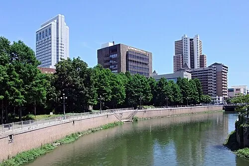 Amagasaki City, Amagasaki Shi459.6K
-
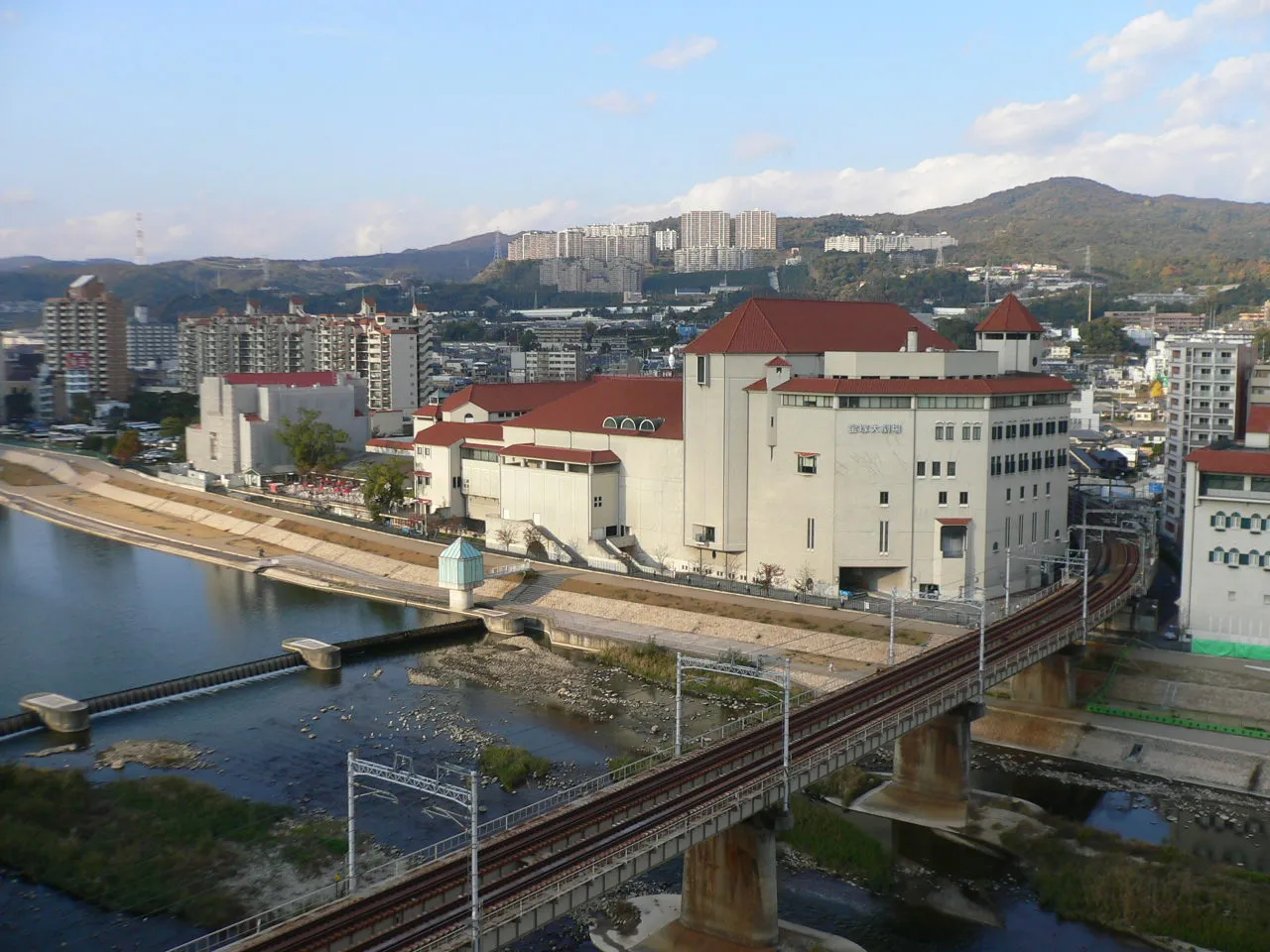 Takarazuka City, Takarazuka Shi226.4K
-
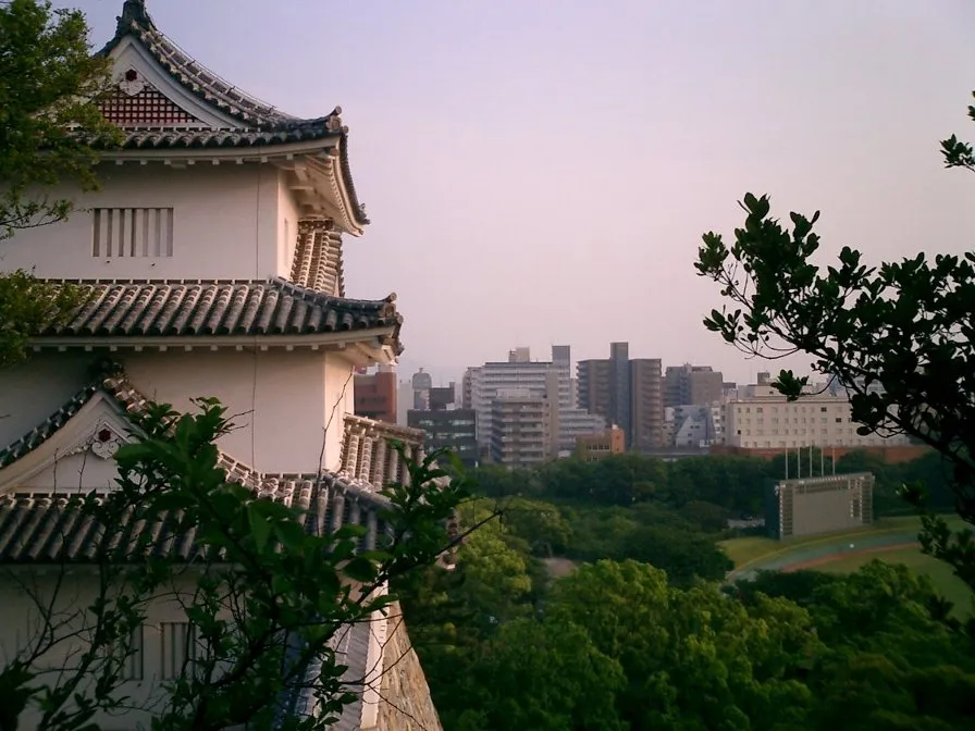 Akashi City, Akashi Shi303.6K
-
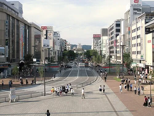 Himeji City, Himeji Shi530.5K
-
Nada Ku Municipality, Kōbe Shi136.3K
-
Higashinada Ku Municipality, Kōbe Shi213.6K
-
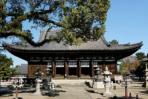 Kakogawa City, Kakogawa Shi271.6K
-
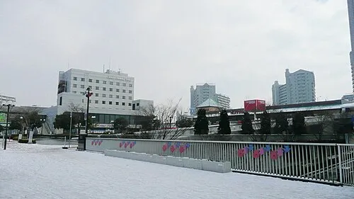 Sandachō City, Sanda Shi132.9K
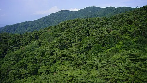
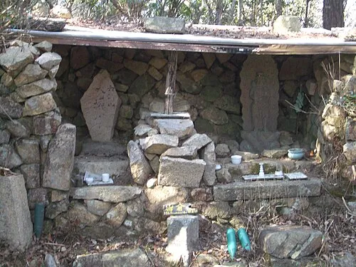
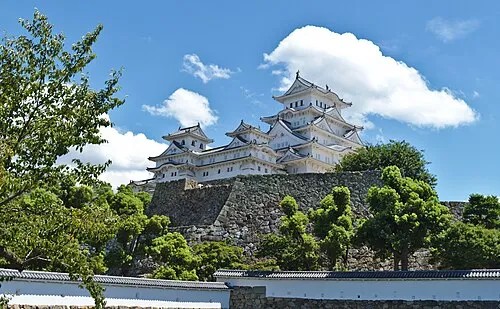
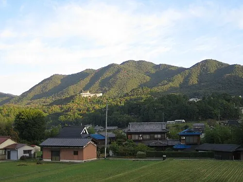
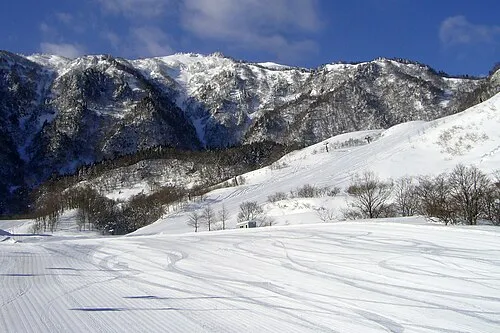
Nature and heritage in Hyōgo
Sources & licences
Data last updated: · 2 independent sources