Takarazuka
Local name: 宝塚市
Located in Takarazuka Shi, Hyōgo Coordinates: 34°47′58″ N 135°21′25″ E
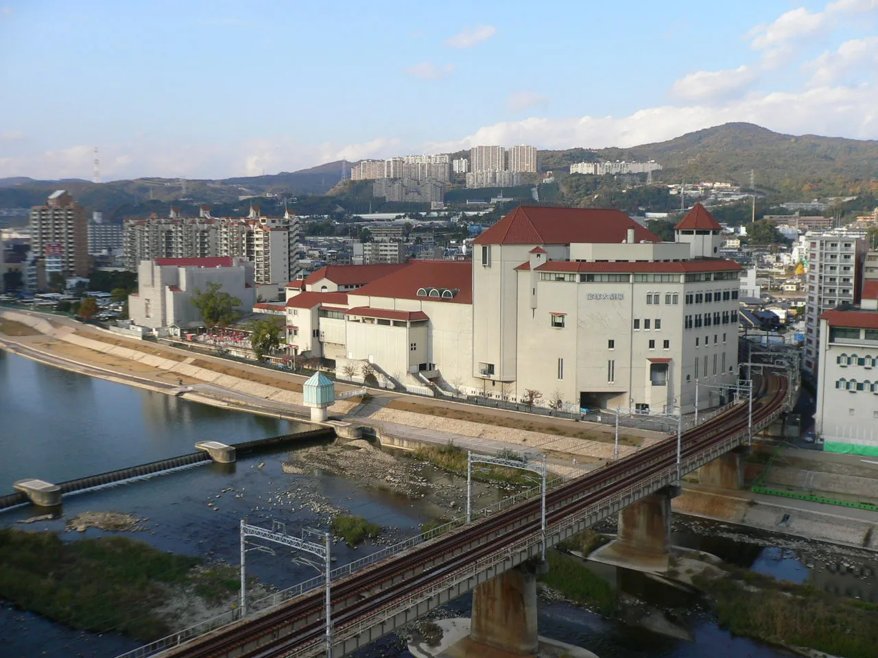
- Population
- 226,432
- 226.4K
- Elevation
- 29 m
- above sea level
- Local time
- UTC+09:00
- Asia/Tokyo · UTC+09:00
- Airports
- ITM Osaka Itami International Airport8 km
- UKB Kobe Airport22 km
About Takarazuka
Takarazuka is a city. Location: Takarazuka Shi, Hyōgo. Population: 226,432. Elevation: 29 m.
Takarazuka (宝塚市, Takarazuka-shi) is a city located in Hyōgo Prefecture, Japan. As of 1 February 2024, the city had an estimated population of 221,846 in 96,729 households and a population density of 2,200 persons per km². The total area of the city is 101.80 square kilometres (39.31 sq mi). Known as the "inner parlor" of Kansai, Takarazuka is famous for the Takarazuka Revue, hot springs, and the Takarazuka Tourism Fireworks Display held since 1913.
Source: Wikipedia · CC BY-SA 4.0
Photos of Takarazuka
-

田中敏夫アルファ · CC BY 4.0 -

Runrunahaha · CC BY-SA 4.0 -

inunami · CC BY 2.0 -

田中敏夫アルファ · CC BY 4.0 -

Olegushka · CC0


Travel notes for Takarazuka
From Wikivoyage
Takarazuka (宝塚) is a city in Hyogo Prefecture, Japan.
Understand+
Takarazuka is a bedroom community city, in which residents typically work in nearby Osaka.
The city is known for its hot springs and for its all-female Takarazuka Revue, both of which are now the main draw for visitors.
Most people who visit Takarazuka are domestic travellers, with the largest group being middle-aged people and the older crowd.
For manga fans, the Tezuka Osamu Manga Museum located here is a must-visit. The manga artist, most well known for creating the character Astro Boy, grew up in the city, watching the Takarazuka Revue as a boy.
Tourist information site:
The local tourist association has a multilingual guide site.
Get in+
By plane:
The nearest airport is Osaka-Itami, which is 20 minutes away by car. There is a limited direct Hankyū Bus service to Takarazuka, taking 25 minutes and costing ¥240, but a better option is usually to take the Monorail one stop to Hotarugaike and change there to the Hankyū Takarazuka Line (30 minutes, ¥420).
Another nearby domestic airport is Kobe Airport, which is an hour away by car. From there, take the Port Liner to Sannomiya, then take the train (see below).
The nearest international airport is Osaka-Kansai, which is 1 hour 20 minutes away by car. From there, take the JR Kansai Airport Rapid train to Osaka and change there to the JR Takarazuka Line; allow 1 hour 50 minutes and ¥1710.
By train:
Most passengers come in through Osaka, from where there are two competing lines:
The JR Takarazuka Line (also known as the Fukuchiyama Line) offers four Rapid and Tambaji Rapid trains per hour from Osaka Station, taking 25 minutes and ¥330.
JR also offers the Kōnotori Limited Express service, which generally runs every hour between Shin-Osaka and Fukuchiyama, with some trains continuing to Toyooka or Kinosaki Onsen. From Osaka this costs ¥1700 and is barely faster than the Rapid trains, so these are only worth using if you have a suitable rail pass or are coming from the north.
The Hankyū Takarazuka Line offers six Express trains per hour from Umeda Station, taking 35 minutes and costing ¥280.
You can also take the Hankyū Kobe Line to Nishinomiya-Kitaguchi, then change to the Imazu Line; this takes 35 minutes and ¥280 as well. If you are going to or from Takarazuka-Minamiguchi Station, you should take this route.
Source: Wikivoyage · CC BY-SA 4.0 · abridged
Places bordering Takarazuka
- Itami
- Nishinomiya Shi
- Kawanishi
- Sandachō
- Inagawa Chō
Twin towns and sister cities of Takarazuka
- Matsue Shi· Japan
- Augusta· United States
Source: Wikidata. Only places with a page on this site are shown.
Population of Takarazuka over time
| 2010 | 225,700 | |
|---|---|---|
| 2015 | 224,903 | |
| 2021 | 224,055 |
Censuses and official estimates; source: Wikidata.
Climate of Takarazuka
Best months for sightseeingBest months for sightseeing: May, October.
This month · November
Outside the best season
Day 17° · Night 8° · Rain 70 mm
Better nearby cities in November
- Kochi · 218 km southwest18°
- Fujinomiya · 300 km east18°
- Fuji · 306 km east20°
- Hottest month
- August (day 33°)
- Coldest month
- January (night 1°)
- Wettest month
- June (212 mm)
- Driest month
- December (39 mm)
Bars: average monthly low and high temperature. Below: precipitation. Monthly averages for 1970–2000 at about 18 km resolution, adjusted for elevation. Highlighted months are mild and relatively dry. Source: WorldClim 2.1 (CC BY 4.0).
Show values as a table
| Month | Jan | Feb | Mar | Apr | May | Jun | Jul | Aug | Sep | Oct | Nov | Dec |
|---|---|---|---|---|---|---|---|---|---|---|---|---|
| Average high (°C) | 9° | 10° | 13° | 20° | 24° | 27° | 31° | 33° | 28° | 23° | 17° | 12° |
| Average low (°C) | 1° | 1° | 4° | 9° | 14° | 19° | 23° | 24° | 20° | 14° | 8° | 3° |
| Precipitation (mm) | 46 | 61 | 99 | 131 | 141 | 212 | 163 | 102 | 180 | 111 | 70 | 39 |
How to get to Takarazuka
The nearest airport is Osaka Itami International Airport (ITM), 8 km to the east as the crow flies. The nearest large city is Itami, 4 km to the southeast.
Airports
- Osaka Itami International Airport (ITM) Osaka 8 kmeast
- Kobe Airport (UKB) Kobe 22 kmsouthwest
- Kansai International Airport (KIX) Osaka 43 kmsouth
Nearby large cities
- Itami Population: 198.1K 4 kmsoutheast
- Kawanishi Population: 155.2K 6 kmeast
- Ikeda Population: 105K 7 kmeast
- Nishinomiya Population: 485.6K 10 kmsouth
- Toyonaka Population: 401.6K 10 kmeast
Straight-line distances; road distances are longer. Airport data: OurAirports.
Day trips from Takarazuka
Within 100 km: 32 historic and cultural sites, 44 natural sites, 20 lakes, rivers and coasts.
0–25 km16 places
- Mount Rokkō Mountain 9 kmW
- Yamato Gawa River 23 kmS
- Mount Taishaku Mountain 22 kmW
- Mount Chigogabaka Mountain 20 kmW
25–60 km45 places
- Mount Miwa Mountain 55 kmSE
- Mount Amanokagu Mountain 54 kmSE
- Mount Miminashi Mountain 52 kmSE
- Mount Unebi Mountain 52 kmSE
60–100 km35 places
- Awaji Island Island 67 kmSW
- Mount Ōdaigahara Mountain 95 kmSE
- Mount Kunimi Mountain 93 kmSE
- Mount Azami Mountain 81 kmSE
Straight-line distances.
Takarazuka and similar cities
Side by side with cities of similar size in the same country: population, elevation and climate.
| Measure | Takarazuka | Ageo | Ōta | Minamirinkan |
|---|---|---|---|---|
| Population | 226.4K | 226.9K | 224.4K | 224K |
| Elevation | 29 m | 17 m | 50 m | 79 m |
| Summer day (hottest month) | 33° | 30° | 30° | 30° |
| Winter night (coldest month) | 1° | -1° | -2° | 0° |
| Annual rainfall | 1,355 mm | 1,376 mm | 1,243 mm | 1,663 mm |
| Best months | May, Oct | May–Jun, Oct | May, Oct | May–Jun, Sep–Oct |
| Distance | — | 408 km | 400 km | 380 km |
Climate values are 1970–2000 monthly averages; straight-line distance.
Nearby attractions & nature
Everything nearby-
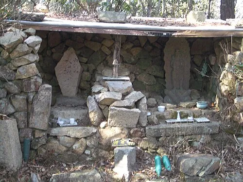 Mount Iwakura Mountain, Takarazuka Shi3.3 km W
-
Mount Kabuto Mountain, Nishinomiya Shi3.7 km SW
-
Mount Nakayama Mountain, Takarazuka Shi5 km N
-
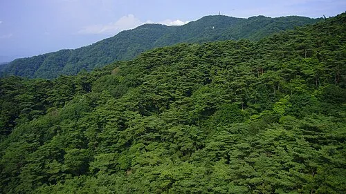 Mount Rokkō Mountain, Kita Ku8.9 km W
-
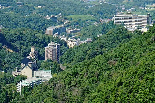 Arima-onsen Natural site, Hyōgo9.8 km W
-
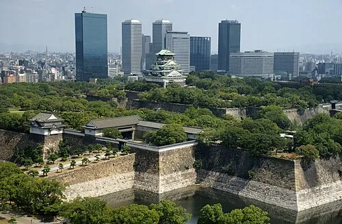 Osaka Castle Historic site, Chūō Ku20 km SE
-
 National Museum of Ethnology Museum, Suita Shi16 km E
-
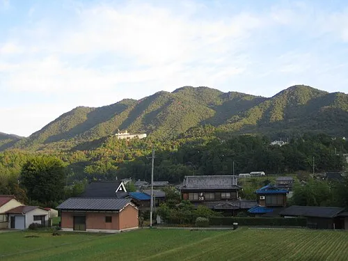 Mount Chigogabaka Mountain, Kita Ku20 km W
Sources & licences
Data last updated: · 2 independent sources