National Museum of Ethnology
Local name: 民博
Located in Suita Shi, Osaka Coordinates: 34°48′46″ N 135°31′47″ E

- Local time
- UTC+09:00
- Asia/Tokyo · UTC+09:00
- Elevation
- 44 m
- above sea level
- Airports
- ITM Osaka Itami International Airport9 km
- UKB Kobe Airport34 km
About National Museum of Ethnology
National Museum of Ethnology is a museum. Location: Suita Shi, Osaka.
The National Museum of Ethnology (国立民族学博物館, Kokuritsu Minzoku-gaku Hakubutsukan), also known as the Minpaku (民博), is the largest ethnographic museum in Japan. It is Japan's largest research institute in the academic disciplines of humanities and social sciences. It is located within the Expo Commemoration Park, which is on the former grounds of Expo '70, in Suita, Osaka Prefecture.
Source: Wikipedia · CC BY-SA 4.0
At a glance
- Built
- 1974
- Opened
- 1977
- Architect
- Kisho Kurokawa
- Official website
- minpaku.ac.jp
Source: Wikidata
Photos of National Museum of Ethnology
-

先従隗始 · CC0 -

先従隗始 · CC0 -

先従隗始 · CC0


Climate of National Museum of Ethnology
Best months for sightseeingBest months for sightseeing: May, October.
This month · November
Outside the best season
Day 17° · Night 8° · Rain 69 mm
Better nearby cities in November
- Kochi · 231 km southwest18°
- Fujinomiya · 285 km east18°
- Fuji · 290 km east20°
- Hottest month
- August (day 33°)
- Coldest month
- January (night 1°)
- Wettest month
- June (215 mm)
- Driest month
- December (37 mm)
Bars: average monthly low and high temperature. Below: precipitation. Monthly averages for 1970–2000 at about 18 km resolution, adjusted for elevation. Highlighted months are mild and relatively dry. Source: WorldClim 2.1 (CC BY 4.0).
Show values as a table
| Month | Jan | Feb | Mar | Apr | May | Jun | Jul | Aug | Sep | Oct | Nov | Dec |
|---|---|---|---|---|---|---|---|---|---|---|---|---|
| Average high (°C) | 9° | 10° | 14° | 20° | 24° | 27° | 31° | 33° | 28° | 23° | 17° | 12° |
| Average low (°C) | 1° | 1° | 4° | 9° | 14° | 19° | 23° | 24° | 20° | 13° | 8° | 3° |
| Precipitation (mm) | 45 | 60 | 100 | 133 | 143 | 215 | 172 | 111 | 183 | 113 | 69 | 37 |
How to get to National Museum of Ethnology
The nearest airport is Osaka Itami International Airport (ITM), 9 km to the southwest as the crow flies. The nearest large city is Ibaraki, 4 km to the east.
Airports
- Osaka Itami International Airport (ITM) Osaka 9 kmsouthwest
- Kobe Airport (UKB) Kobe 34 kmsouthwest
- Kansai International Airport (KIX) Osaka 50 kmsouthwest
Nearby large cities
- Ibaraki Population: 287.7K 4 kmeast
- Minoh Population: 136.9K 6 kmwest
- Suita Population: 385.6K 6 kmsouth
- Toyonaka Population: 401.6K 6 kmsouthwest
- Takatsuki Population: 354.5K 9 kmnortheast
Straight-line distances; road distances are longer. Airport data: OurAirports.
Day trips from National Museum of Ethnology
Within 100 km: 29 historic and cultural sites, 44 natural sites, 24 lakes, rivers and coasts.
0–25 km16 places
- Mount Rokkō Mountain 25 kmW
- Mount Tennōzan Mountain 17 kmNE
- Katsura River River 19 kmNE
- Saiho-ji Attraction 24 kmNE
25–60 km45 places
- Mount Miwa Mountain 44 kmSE
- Mount Amanokagu Mountain 44 kmSE
- Mount Miminashi Mountain 42 kmSE
- Mount Unebi Mountain 43 kmSE
60–100 km36 places
- Awaji Island Island 80 kmSW
- Kumozu River River 95 kmE
- Mount Ōdaigahara Mountain 86 kmSE
- Mount Kunimi Mountain 82 kmSE
Straight-line distances.
Nearby attractions & nature
Everything nearby-
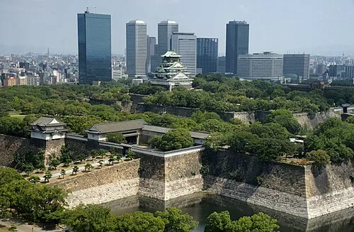 Osaka Castle Historic site, Chūō Ku14 km S
-
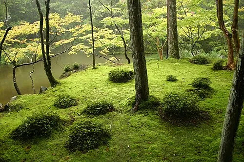 Saiho-ji Attraction, Nishi-kyō Ku24 km NE
-
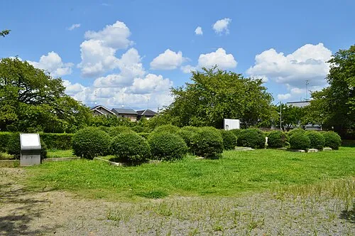 Nagaoka Historic site, Nagaokakyō Shi20 km NE
-
 Mount Tennōzan Mountain, Ōyamazaki Chō17 km NE
-
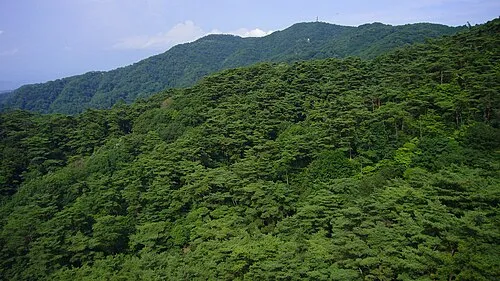 Mount Rokkō Mountain, Kita Ku25 km W
-
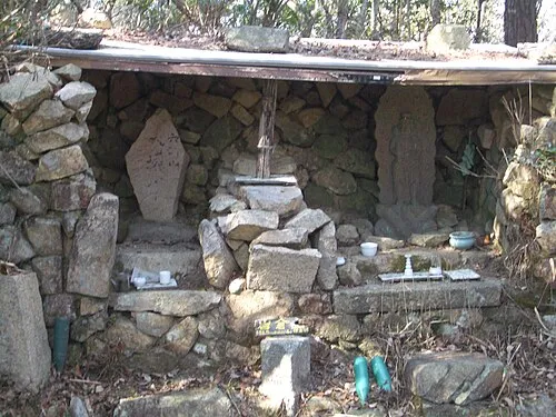 Mount Iwakura Mountain, Takarazuka Shi19 km W
-
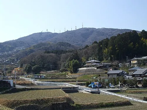 Ikoma Yama Mountain, Ikoma-shi20 km SE
-
Mount Kabuto Mountain, Nishinomiya Shi19 km W
Nearest towns and villages
-
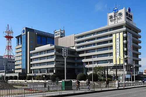 Ibaraki City, Ibaraki Shi3.6 km E
-
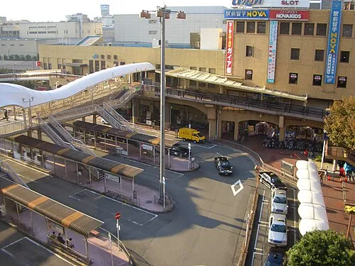 Suita City, Suita Shi5.8 km S
-
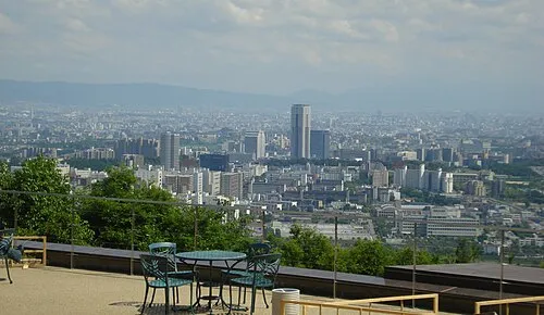 Minoh City, Minoo Shi5.6 km W
-
 Higashi-yodagawa-ku Municipality, Osaka City7.7 km S
Sources & licences
Data last updated: · 2 independent sources