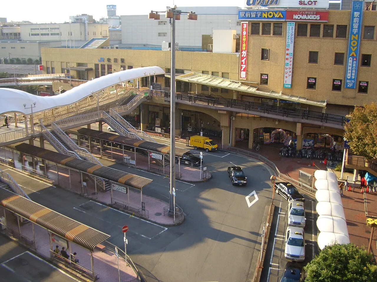
- Population
- 385,567
- 385.6K
- Elevation
- 4 m
- above sea level
- Local time
- UTC+09:00
- Asia/Tokyo · UTC+09:00
- Airports
- ITM Osaka Itami International Airport7 km
- UKB Kobe Airport30 km
About Suita
Suita is a city. Location: Suita Shi, Osaka. Population: 385,567. Elevation: 4 m. The best months to visit are May, October. The nearest airport is Osaka Itami International Airport (7 km). Nearby sights include National Museum of Ethnology and Osaka Castle.
Photos of Suita
-

2serendipity · CC BY-SA 4.0 -

Sago350 · CC0 -

Sago350 · CC0 -

Kei.t14 · CC BY-SA 4.0 -

Asturio Cantabrio · CC BY-SA 4.0


Travel notes for Suita
From Wikivoyage
Suita (吹田) is a city in Osaka (prefecture).
Understand+
Suita is an upper-middle class suburb with many working professionals and college students attending Osaka University and many other educational institutions in the area. The area is known for its large population of people from Tokyo and the Kanto region, including corporate transferees. It has a clean, quiet, polished suburban vibe that differs from the gritty, working-class, Showa era (20th century) feel of downtown Osaka's Namba and Tennoji areas.
The Esaka (江坂) area of Suita, centered around Esaka Station, lies at the northern end of the Osaka subway's Midosuji Line and makes for a convenient base to explore the Kansai region. It has many hotels and chain stores, including Don Quijote. Esaka, as with the other suburbs north of Osaka city proper, is a quiet, uncrowded neighborhood popular with white-collar professionals and Tokyoite corporate transferees (i.e., employees transferred to the Kansai region from the Kanto region by Japanese companies). Locals will often you that Esaka feels more like a western Tokyo suburb than like Osaka city proper.
Tourist information site:
The city has an official Japanese-only promotional site.
Official Guide Map is available in English and other languages.
Get in+
Most travellers will pass through Shin-Osaka Station (which serves JR, Osaka Subway, and Shinkansen lines) on their way to Suita.
The southern end of Suita is served by Esaka Station, which lies at the northern end of the Midosuji subway line (highlighted as red on metro maps), which directly connects to Shin-Osaka, Umeda, and Namba without having to transfer.
Suita Station is served by a JR line that connects from Shin-Osaka Station.
Source: Wikivoyage · CC BY-SA 4.0 · abridged
Climate of Suita
Best months for sightseeingBest months for sightseeing: May, October.
This month · November
Outside the best season
Day 18° · Night 8° · Rain 69 mm
Better nearby cities in November
- Kochi · 227 km southwest18°
- Fujinomiya · 287 km east18°
- Fuji · 292 km east20°
- Hottest month
- August (day 33°)
- Coldest month
- January (night 1°)
- Wettest month
- June (215 mm)
- Driest month
- December (37 mm)
Bars: average monthly low and high temperature. Below: precipitation. Monthly averages for 1970–2000 at about 18 km resolution, adjusted for elevation. Highlighted months are mild and relatively dry. Source: WorldClim 2.1 (CC BY 4.0).
Show values as a table
| Month | Jan | Feb | Mar | Apr | May | Jun | Jul | Aug | Sep | Oct | Nov | Dec |
|---|---|---|---|---|---|---|---|---|---|---|---|---|
| Average high (°C) | 10° | 10° | 14° | 20° | 25° | 28° | 31° | 33° | 29° | 23° | 18° | 12° |
| Average low (°C) | 1° | 1° | 4° | 9° | 14° | 19° | 23° | 24° | 20° | 14° | 8° | 3° |
| Precipitation (mm) | 45 | 60 | 100 | 133 | 143 | 215 | 172 | 111 | 183 | 113 | 69 | 37 |
How to get to Suita
The nearest airport is Osaka Itami International Airport (ITM), 7 km to the west as the crow flies. The nearest large city is Toyonaka, 5 km to the northwest.
Airports
- Osaka Itami International Airport (ITM) Osaka 7 kmwest
- Kobe Airport (UKB) Kobe 30 kmsouthwest
- Kansai International Airport (KIX) Osaka 45 kmsouthwest
Nearby large cities
- Toyonaka Population: 401.6K 5 kmnorthwest
- Moriguchi Population: 143.1K 6 kmsoutheast
- Kadoma Population: 131.7K 6 kmsoutheast
- Ibaraki Population: 287.7K 8 kmnortheast
- Minoh Population: 136.9K 8 kmnorthwest
Straight-line distances; road distances are longer. Airport data: OurAirports.
Day trips from Suita
Within 100 km: 31 historic and cultural sites, 44 natural sites, 22 lakes, rivers and coasts.
0–25 km19 places
- Mount Rokkō Mountain 23 kmW
- Mount Tennōzan Mountain 21 kmNE
- Katsura River River 23 kmNE
- Nagaoka Historic site 25 kmNE
25–60 km43 places
- Mount Miwa Mountain 41 kmSE
- Mount Amanokagu Mountain 41 kmSE
- Mount Miminashi Mountain 38 kmSE
- Mount Unebi Mountain 39 kmSE
60–100 km35 places
- Awaji Island Island 75 kmSW
- Kumozu River River 95 kmE
- Mount Ōdaigahara Mountain 82 kmSE
- Mount Kunimi Mountain 79 kmSE
Straight-line distances.
Suita and similar cities
Side by side with cities of similar size in the same country: population, elevation and climate.
| Measure | Suita | Okazaki | Ichinomiya | Toyohashi |
|---|---|---|---|---|
| Population | 385.6K | 384.7K | 380.1K | 377.5K |
| Elevation | 4 m | 34 m | 11 m | 12 m |
| Summer day (hottest month) | 33° | 31° | 31° | 30° |
| Winter night (coldest month) | 1° | 1° | 0° | 1° |
| Annual rainfall | 1,381 mm | 1,997 mm | 1,884 mm | 1,939 mm |
| Best months | May, Oct | May–Jun, Oct | May–Jun, Oct | May–Jun, Oct |
| Distance | — | 152 km | 132 km | 171 km |
Climate values are 1970–2000 monthly averages; straight-line distance.
Nearby attractions & nature
Everything nearby-
 National Museum of Ethnology Museum, Suita Shi5.8 km N
-
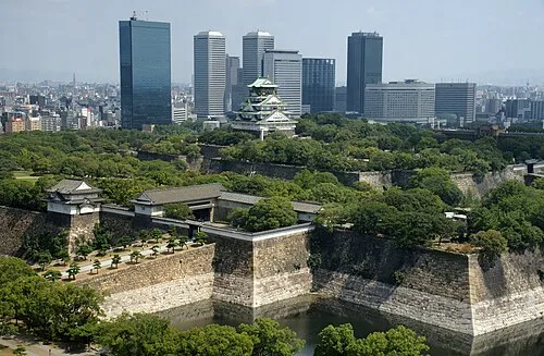 Osaka Castle Historic site, Chūō Ku8.3 km S
-
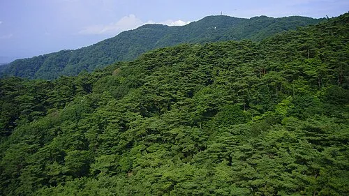 Mount Rokkō Mountain, Kita Ku23 km W
-
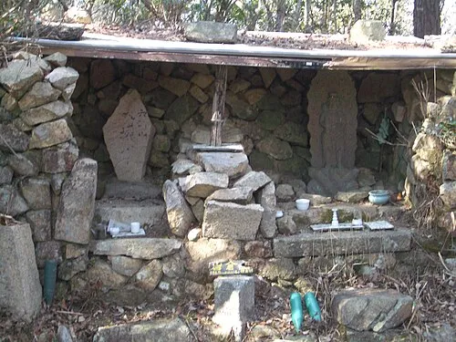 Mount Iwakura Mountain, Takarazuka Shi18 km W
-
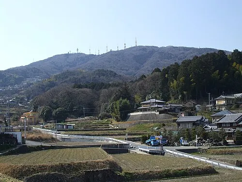 Ikoma Yama Mountain, Ikoma-shi17 km SE
-
Mount Kabuto Mountain, Nishinomiya Shi17 km W
-
Yamato Gawa River, Japan18 km S
-
 Mount Tennōzan Mountain, Ōyamazaki Chō21 km NE
Sources & licences
Data last updated: