- Elevation
- 1 m
- above sea level
- Local time
- UTC+09:00
- Asia/Tokyo · UTC+09:00
- Airports
- ITM Osaka Itami International Airport19 km
- UKB Kobe Airport21 km
About Yamato Gawa
Yamato Gawa is a river. Location: Japan.
The Yamato River (大和川, Yamato-gawa) is a river that flows through Nara Prefecture and Osaka Prefecture, Japan. It is designated Class A by the Ministry of Land, Infrastructure, Transport and Tourism (MLIT). The river flows via towns: Nara Prefecture Yamatokōriyama Osaka Prefecture Kashiwara Fujiidera - confluence with Ishikawa River Since 1704, the river was reconfigured, originally its flow was north from the Ishikawa River confluence point, where it joined the Shirinashi River and Kizu River.
Read more on Wikipedia Text: Wikipedia contributors · CC BY-SA 4.0 · shortened
At a glance
- Length
- 68 km
Source: Wikidata
Climate of Yamato Gawa
Best months for sightseeingBest months for sightseeing: May, October.
Bars: average monthly low and high temperature. Below: precipitation. Monthly averages for 1970–2000 at about 18 km resolution, adjusted for elevation. Highlighted months are mild and relatively dry. Source: WorldClim 2.1 (CC BY 4.0).
Show values as a table
| Month | Jan | Feb | Mar | Apr | May | Jun | Jul | Aug | Sep | Oct | Nov | Dec |
|---|---|---|---|---|---|---|---|---|---|---|---|---|
| Average high (°C) | 10° | 10° | 13° | 20° | 24° | 27° | 31° | 32° | 28° | 23° | 18° | 12° |
| Average low (°C) | 2° | 2° | 4° | 10° | 14° | 19° | 23° | 24° | 20° | 14° | 9° | 4° |
| Precipitation (mm) | 42 | 56 | 96 | 131 | 142 | 215 | 155 | 100 | 184 | 113 | 70 | 36 |
Airports nearest to Yamato Gawa
- Osaka Itami International Airport (ITM) Osaka 19 km
- Kobe Airport (UKB) Kobe 21 km
- Kansai International Airport (KIX) Osaka 27 km
Straight-line distance; airports with scheduled flights only. Source: OurAirports (public domain).
Nearest towns and villages
-
Suminoe Ku Municipality, Osaka City1.5 km NE
-
Sakai-ku Municipality, Sakai Shi3.7 km SE
-
Sumiyoshi Village, Osaka City4.6 km E
-
Taisho-ku Municipality, Osaka City5.2 km NE
-
Nishinari-ku Municipality, Osaka City5.3 km NE
-
Minato-ku Municipality, Osaka City6.3 km N
Nearby attractions & nature
Everything nearby-
Kizu River River, Osaka2 km N
-
Tenpō Zan Mountain, Minato-ku5.6 km N
-
Yodo River River, Japan8.8 km N
-
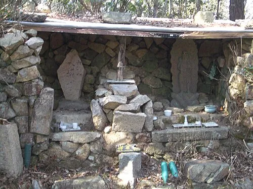 Mount Iwakura Mountain, Takarazuka Shi24 km NW
-
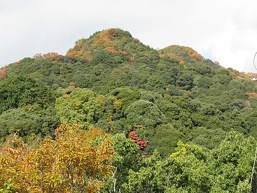 Mount Shigi Mountain, Heguri-chō20 km E
-
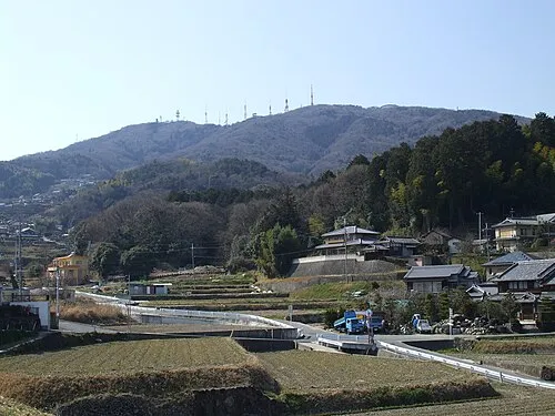 Ikoma Yama Mountain, Ikoma-shi23 km E
-
Mukogawa River River, Hyōgo11 km NW
-
Mount Kabuto Mountain, Nishinomiya Shi21 km NW
More lakes, rivers and coasts in Japan
-
 Awaji Island Island, Hyōgo62 km SW
-
Kamo River River, Japan49 km NE
-
Katsura River River, Japan40 km NE
-
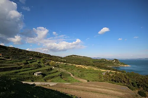 Te Shima Island, Kagawa127 km W
-
Yodo-gawa River, Japan36 km NE
-
 Tomoga Shima Island, Wakayama52 km SW
Sources & licences
Data last updated: · 2 independent sources