Sumiyoshi
Local name: 住吉区
Located in Osaka City, Osaka Coordinates: 34°36′51″ N 135°29′45″ E
- Population
- 155,572
- 155.6K
- Elevation
- 8 m
- above sea level
- Local time
- UTC+09:00
- Asia/Tokyo · UTC+09:00
- Airports
- ITM Osaka Itami International Airport19 km
- UKB Kobe Airport25 km
About Sumiyoshi
Sumiyoshi is a village. Location: Osaka City, Osaka. Population: 155,572. Elevation: 8 m.
Sumiyoshi-ku (住吉区) is one of 24 wards of Osaka, Japan. It is located on the southern part of the Uemachi Plateau, in the southernmost part of Osaka City, and is separated from Sakai City's Sakai-ku and Kita-ku by the Yamato River. There are six rail lines, and three main thoroughfares - Abiko-Suji (which run north–south through the centre of the ward), Abeno-Suji (which continues north through the area of Tennoji) and Nagai Koen-Dori, which runs east–west and connects the area with the port to the west.
Source: Wikipedia · CC BY-SA 4.0
Places bordering Sumiyoshi
- Abeno-ku
- Higashisumiyoshi-ku
- Suminoe Ku
- Nishinari-ku
Population of Sumiyoshi over time
| 2010 | 155,572 | |
|---|---|---|
| 2015 | 154,239 | |
| 2021 | 152,932 |
Censuses and official estimates; source: Wikidata.
Climate of Sumiyoshi
Best months for sightseeingBest months for sightseeing: May, October.
This month · November
Outside the best season
Day 18° · Night 8° · Rain 70 mm
Better nearby cities in November
- Kochi · 216 km southwest18°
- Fujinomiya · 292 km east18°
- Fuji · 297 km east20°
- Hottest month
- August (day 32°)
- Coldest month
- January (night 2°)
- Wettest month
- June (215 mm)
- Driest month
- December (36 mm)
Bars: average monthly low and high temperature. Below: precipitation. Monthly averages for 1970–2000 at about 18 km resolution, adjusted for elevation. Highlighted months are mild and relatively dry. Source: WorldClim 2.1 (CC BY 4.0).
Show values as a table
| Month | Jan | Feb | Mar | Apr | May | Jun | Jul | Aug | Sep | Oct | Nov | Dec |
|---|---|---|---|---|---|---|---|---|---|---|---|---|
| Average high (°C) | 10° | 10° | 13° | 19° | 24° | 27° | 31° | 32° | 28° | 23° | 18° | 12° |
| Average low (°C) | 2° | 2° | 4° | 10° | 14° | 19° | 23° | 24° | 20° | 14° | 8° | 4° |
| Precipitation (mm) | 42 | 56 | 96 | 131 | 142 | 215 | 155 | 100 | 184 | 113 | 70 | 36 |
How to get to Sumiyoshi
The nearest airport is Osaka Itami International Airport (ITM), 19 km to the north as the crow flies. The nearest large city is Matsubara, 7 km to the southeast.
Airports
- Osaka Itami International Airport (ITM) Osaka 19 kmnorth
- Kobe Airport (UKB) Kobe 25 kmwest
- Kansai International Airport (KIX) Osaka 31 kmsouthwest
Nearby large cities
- Matsubara Population: 130.9K 7 kmsoutheast
- Yao Population: 273.2K 10 kmeast
- Higashiosaka Population: 493.9K 10 kmnortheast
- Habikino Population: 109.5K 11 kmsoutheast
- Amagasaki Population: 459.6K 13 kmnorthwest
Straight-line distances; road distances are longer. Airport data: OurAirports.
Nearby attractions & nature
Everything nearby-
Yamato Gawa River, Japan4.6 km W
-
Kizu River River, Osaka4.5 km W
-
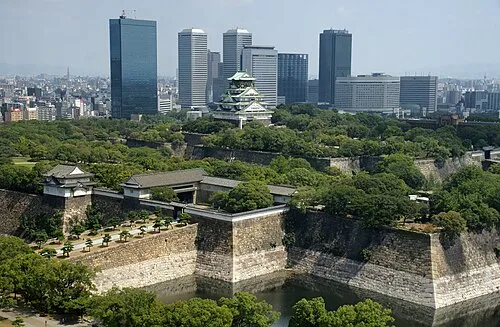 Osaka Castle Historic site, Chūō Ku8.6 km N
-
Tenpō Zan Mountain, Minato-ku7.5 km NW
-
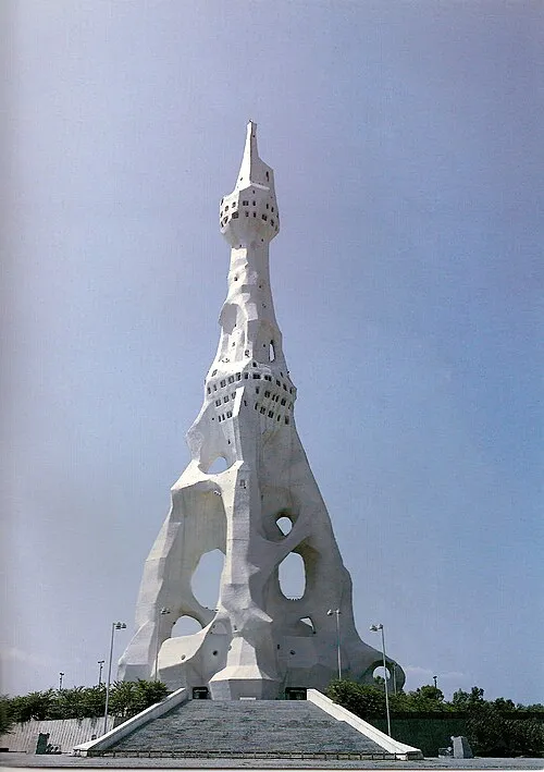 PL Peace Tower Landmark, Tondabayashi Shi15 km SE
-
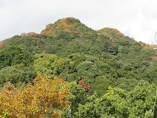 Mount Shigi Mountain, Heguri-chō16 km E
Sources & licences
Data last updated: · 2 independent sources