Dōtonbori
Local name: 道頓堀
Located in Chūō Ku, Osaka City Coordinates: 34°39′55″ N 135°30′22″ E
- Elevation
- 13 m
- above sea level
- Local time
- UTC+09:00
- Asia/Tokyo · UTC+09:00
- Airports
- ITM Osaka Itami International Airport14 km
- UKB Kobe Airport26 km
About Dōtonbori
Dōtonbori is a village. Location: Chūō Ku, Osaka City. Elevation: 13 m.
Dōtonbori or Dōtombori (道頓堀; pronounced [do̞ːtõ̞mbo̞ɾʲi]) is a district in Osaka, Japan. Known as one of Osaka's principal tourist and nightlife areas, the area runs along the Dōtonbori canal from Dōtonboribashi Bridge to Nipponbashi Bridge in the Namba district of the city's Chūō ward. Historically a theater district, it is now a popular nightlife and entertainment area characterized by its eccentric atmosphere and large illuminated signboards.
Source: Wikipedia · CC BY-SA 4.0
Climate of Dōtonbori
Best months for sightseeingBest months for sightseeing: April–May, October.
This month · November
Outside the best season
Day 18° · Night 8° · Rain 72 mm
Better nearby cities in November
- Kochi · 220 km southwest18°
- Fujinomiya · 290 km east18°
- Fuji · 295 km east20°
- Hottest month
- August (day 33°)
- Coldest month
- January (night 1°)
- Wettest month
- June (223 mm)
- Driest month
- December (37 mm)
Bars: average monthly low and high temperature. Below: precipitation. Monthly averages for 1970–2000 at about 18 km resolution, adjusted for elevation. Highlighted months are mild and relatively dry. Source: WorldClim 2.1 (CC BY 4.0).
Show values as a table
| Month | Jan | Feb | Mar | Apr | May | Jun | Jul | Aug | Sep | Oct | Nov | Dec |
|---|---|---|---|---|---|---|---|---|---|---|---|---|
| Average high (°C) | 10° | 10° | 14° | 20° | 25° | 28° | 31° | 33° | 29° | 23° | 18° | 13° |
| Average low (°C) | 1° | 1° | 4° | 9° | 14° | 19° | 23° | 24° | 20° | 14° | 8° | 3° |
| Precipitation (mm) | 44 | 58 | 100 | 136 | 146 | 223 | 167 | 113 | 191 | 119 | 72 | 37 |
How to get to Dōtonbori
The nearest airport is Osaka Itami International Airport (ITM), 14 km to the northwest as the crow flies. The nearest large city is Higashiosaka, 7 km to the east.
Airports
- Osaka Itami International Airport (ITM) Osaka 14 kmnorthwest
- Kobe Airport (UKB) Kobe 26 kmwest
- Kansai International Airport (KIX) Osaka 36 kmsouthwest
Nearby large cities
- Higashiosaka Population: 493.9K 7 kmeast
- Moriguchi Population: 143.1K 9 kmnortheast
- Amagasaki Population: 459.6K 10 kmnorthwest
- Yao Population: 273.2K 10 kmsoutheast
- Kadoma Population: 131.7K 10 kmnortheast
Straight-line distances; road distances are longer. Airport data: OurAirports.
Nearby attractions & nature
Everything nearby-
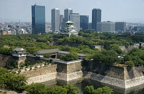 Osaka Castle Historic site, Chūō Ku3 km NE
-
Tenpō Zan Mountain, Minato-ku6.8 km W
-
Yamato Gawa River, Japan8.4 km SW
-
Kizu River River, Osaka6.8 km SW
-
Yodo River River, Japan8.4 km W
-
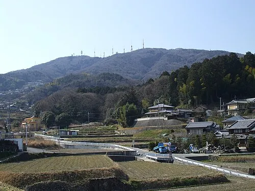 Ikoma Yama Mountain, Ikoma-shi16 km E
Sources & licences
Data last updated: · 2 independent sources