- Elevation
- 24 m
- above sea level
- Local time
- UTC+09:00
- Asia/Tokyo · UTC+09:00
- Airports
- ITM Osaka Itami International Airport35 km
- UKB Kobe Airport61 km
About Kamo River
Kamo River is a river. Location: Japan.
The Kamo River (鴨川, Kamo-gawa; duck river – see onomastics) is located in Kyoto Prefecture, Japan. The riverbanks are popular walking spots for residents and tourists. In summer, restaurants open balconies looking out to the river. There are walkways running alongside the river, and some stepping stones that cross the river. The water level of the river is usually relatively low; less than one meter in most places. During the rainy season, however, the walkways sometimes flood in their lower stretches.
Read more on Wikipedia Text: Wikipedia contributors · CC BY-SA 4.0 · shortened
At a glance
- Length
- 31 km
Source: Wikidata
Climate of Kamo River
Best months for sightseeingBest months for sightseeing: May, October.
Bars: average monthly low and high temperature. Below: precipitation. Monthly averages for 1970–2000 at about 18 km resolution, adjusted for elevation. Highlighted months are mild and relatively dry. Source: WorldClim 2.1 (CC BY 4.0).
Show values as a table
| Month | Jan | Feb | Mar | Apr | May | Jun | Jul | Aug | Sep | Oct | Nov | Dec |
|---|---|---|---|---|---|---|---|---|---|---|---|---|
| Average high (°C) | 9° | 9° | 13° | 19° | 24° | 27° | 31° | 32° | 28° | 22° | 17° | 12° |
| Average low (°C) | 1° | 1° | 3° | 9° | 14° | 18° | 23° | 24° | 20° | 13° | 7° | 3° |
| Precipitation (mm) | 56 | 69 | 107 | 142 | 149 | 229 | 211 | 142 | 193 | 117 | 73 | 45 |
Airports nearest to Kamo River
- Osaka Itami International Airport (ITM) Osaka 35 km
- Kobe Airport (UKB) Kobe 61 km
- Kansai International Airport (KIX) Osaka 76 km
Straight-line distance; airports with scheduled flights only. Source: OurAirports (public domain).
Nearest towns and villages
-
Minami Municipality, Kyōto2 km W
-
Fushimi-ku Municipality, Kyōto3.5 km SE
-
Shimogyo Ku Municipality, Kyōto3.2 km N
-
Higashiyama District Municipality, Kyōto3.5 km NE
-
Nakagyō Ku Municipality, Kyōto5.1 km N
-
Yamashina Ku Municipality, Kyōto5.7 km E
Nearby attractions & nature
Everything nearby-
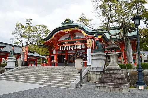 Fushimi Inari-taisha Attraction, Fushimi-ku1.4 km E
-
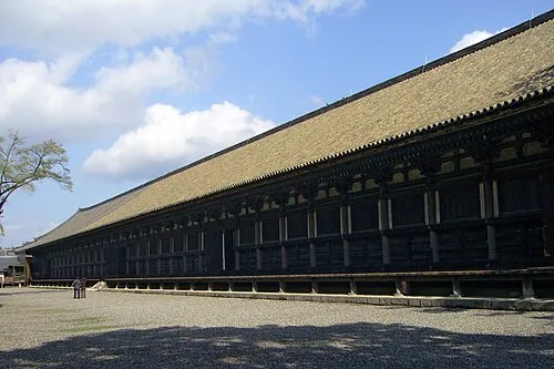 Sanjusangen-do Attraction, Higashiyama District2.8 km NE
-
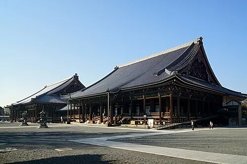 Nishi Hongan Ji Attraction, Shimogyo Ku3 km N
-
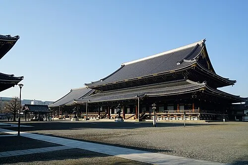 Higashi Hongan Ji Attraction, Shimogyo Ku2.9 km N
-
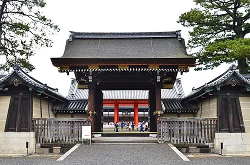 Kyoto Imperial Palace Natural site, Kamigyō Ku6.5 km N
-
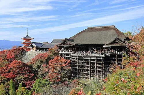 Kiyomizu-dera Attraction, Higashiyama District4.1 km NE
-
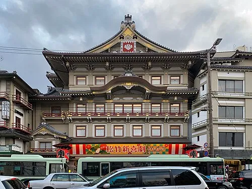 Kyoto Shijo Minami za Attraction, Higashiyama District4.5 km N
-
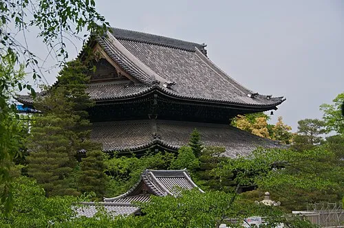 Chion-in Attraction, Higashiyama District5 km NE
More lakes, rivers and coasts in Japan
-
Katsura River River, Japan8.6 km SW
-
Yodo-gawa River, Japan13 km SW
-
Yasu River River, Japan26 km NE
-
 Awaji Island Island, Hyōgo106 km SW
-
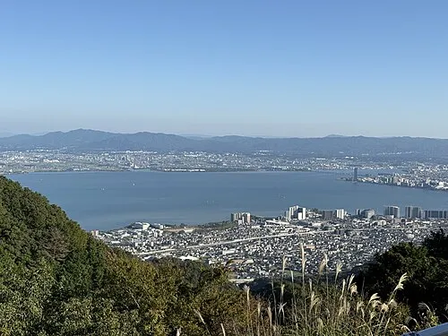 Lake Biwa Lake, Shiga Prefecture43 km NE
-
Yamato Gawa River, Japan49 km SW
Sources & licences
Data last updated: · 2 independent sources