Nishiwaki
Local name: 西脇市
Located in Nishiwaki Shi, Hyōgo Coordinates: 34°59′03″ N 134°58′27″ E
- Population
- 38,673
- 38.7K
- Elevation
- 57 m
- above sea level
- Local time
- UTC+09:00
- Asia/Tokyo · UTC+09:00
- Airports
- UKB Kobe Airport45 km
- ITM Osaka Itami International Airport48 km
About Nishiwaki
Nishiwaki is a city. Location: Nishiwaki Shi, Hyōgo. Population: 38,673. Elevation: 57 m.
Nishiwaki (西脇市, Nishiwaki-shi) is a city in Hyōgo Prefecture, Japan. As of 1 May 2022, the city had an estimated population of 39,001 in 17210 households and a population density of 290 persons per km2. The total area of the city is 132.44 square kilometres (51.14 sq mi). The city calls itself "The Navel of Japan (Nihon no Heso)." Located at the crossing of the 135° East meridian and the 35° North parallel, the city's Nihon no Heso Park marks the center of the nation
Source: Wikipedia · CC BY-SA 4.0
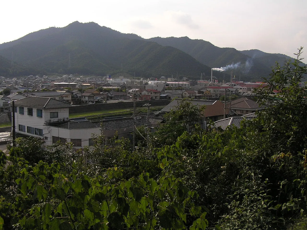
Photos of Nishiwaki
-

Emonhori · CC BY 3.0 -

Emonhori · CC BY 3.0 -

松岡明芳 · CC BY-SA 4.0 -

Mass Ave 975 at jp Wikipedia · CC BY-SA 3.0


Places bordering Nishiwaki
- Kasai
- Katō Shi
- Tanba Shi
- Taka-gun
Twin towns and sister cities of Nishiwaki
- Furano· Japan
Source: Wikidata. Only places with a page on this site are shown.
Population of Nishiwaki over time
| 2010 | 42,802 | |
|---|---|---|
| 2015 | 40,866 | |
| 2021 | 38,453 |
Censuses and official estimates; source: Wikidata.
Climate of Nishiwaki
Best months for sightseeingBest months for sightseeing: May, October.
This month · November
Outside the best season
Day 16° · Night 7° · Rain 78 mm
Better nearby cities in November
- Kochi · 207 km southwest18°
- Fujinomiya · 332 km east18°
- Kofu · 335 km east17°
- Hottest month
- August (day 31°)
- Coldest month
- January (night 0°)
- Wettest month
- June (202 mm)
- Driest month
- December (48 mm)
Bars: average monthly low and high temperature. Below: precipitation. Monthly averages for 1970–2000 at about 18 km resolution, adjusted for elevation. Highlighted months are mild and relatively dry. Source: WorldClim 2.1 (CC BY 4.0).
Show values as a table
| Month | Jan | Feb | Mar | Apr | May | Jun | Jul | Aug | Sep | Oct | Nov | Dec |
|---|---|---|---|---|---|---|---|---|---|---|---|---|
| Average high (°C) | 8° | 9° | 12° | 19° | 23° | 26° | 30° | 31° | 27° | 22° | 16° | 11° |
| Average low (°C) | 0° | 0° | 2° | 8° | 13° | 18° | 22° | 23° | 19° | 12° | 7° | 2° |
| Precipitation (mm) | 58 | 70 | 99 | 129 | 139 | 202 | 162 | 101 | 195 | 111 | 78 | 48 |
How to get to Nishiwaki
The nearest airport is Kobe Airport (UKB), 45 km to the southeast as the crow flies. The nearest large city is Sandachō, 26 km to the southeast.
Airports
- Kobe Airport (UKB) Kobe 45 kmsoutheast
- Osaka Itami International Airport (ITM) Osaka 48 kmsoutheast
- Konotori Tajima Airport (TJH) Toyooka 61 kmnorth
Nearby large cities
- Sandachō Population: 132.9K 26 kmsoutheast
- Kakogawa Population: 271.6K 27 kmsouthwest
- Himeji Population: 530.5K 31 kmsouthwest
- Akashi Population: 303.6K 37 kmsouth
- Takarazuka Population: 226.4K 41 kmsoutheast
Straight-line distances; road distances are longer. Airport data: OurAirports.
Day trips from Nishiwaki
Within 100 km: 32 historic and cultural sites, 35 natural sites, 26 lakes, rivers and coasts.
25–60 km25 places
- Mount Rokkō Mountain 35 kmSE
- Mount Ooe Mountain 53 kmN
- Tenpō Zan Mountain 55 kmSE
- Yodo River River 52 kmSE
60–100 km68 places
- Awaji Island Island 67 kmS
- Te Shima Island 100 kmSW
- Mount Miwa Mountain 96 kmSE
- Mount Amanokagu Mountain 95 kmSE
Straight-line distances.
Sources & licences
Data last updated: · 2 independent sources