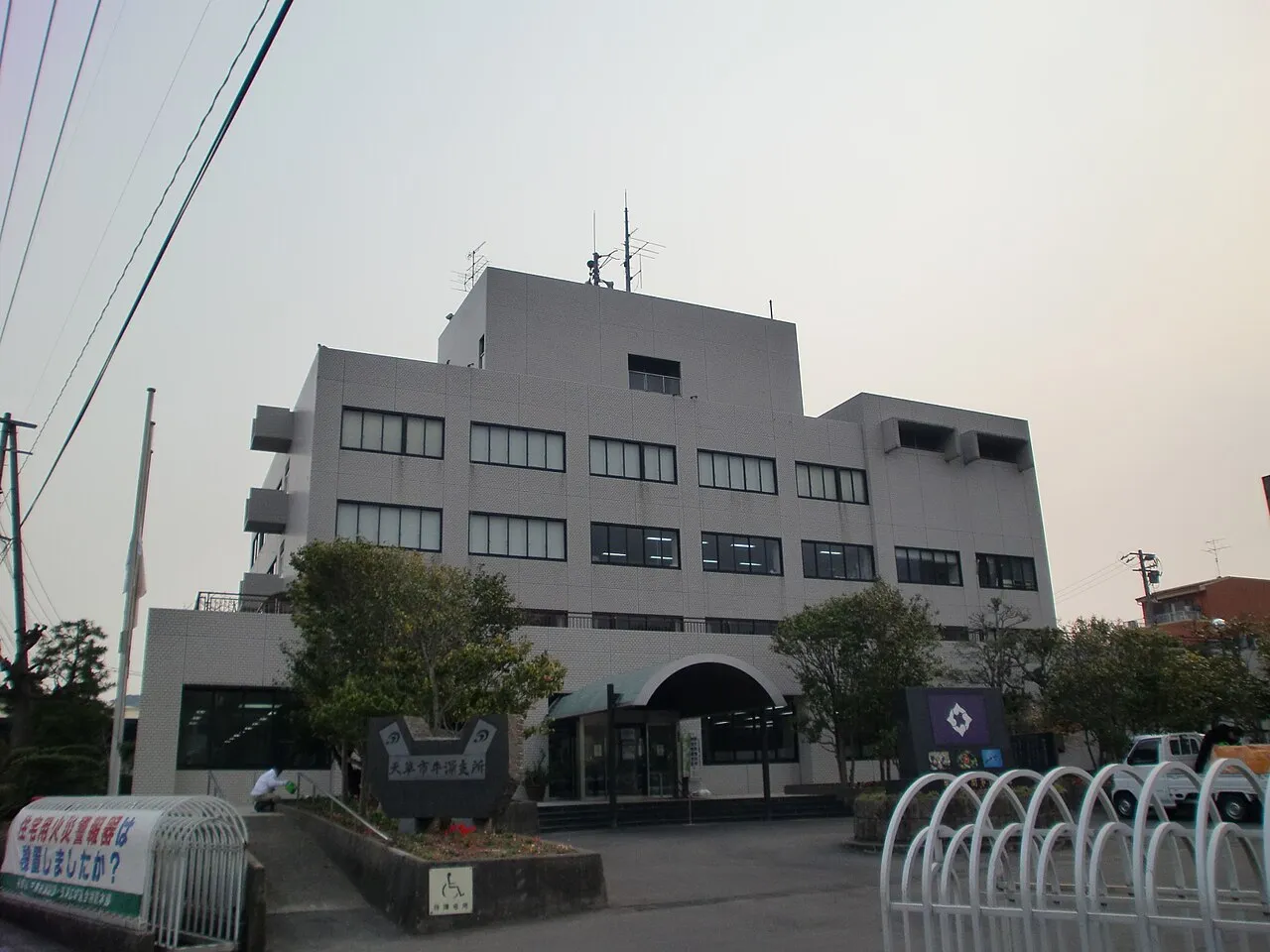
- Population
- 16,667
- 16.7K
- Elevation
- 109 m
- above sea level
- Local time
- UTC+09:00
- Asia/Tokyo · UTC+09:00
- Airports
- AXJ Amakusa Airport34 km
- KOJ Kagoshima Airport79 km
About Ushibukamachi
Ushibukamachi is a town. Location: Amakusa Shi, Kumamoto. Population: 16,667. Elevation: 109 m.
Ushibuka (牛深市, Ushibuka-shi) was a city located in Kumamoto Prefecture, Japan. The city was founded on April 1, 1954. As of 2003, the city had an estimated population of 17,429 and the density of 194.17 persons per km2. The total area was 89.76 km2.
Source: Wikipedia · CC BY-SA 4.0
At a glance
- Built
- 1954
Source: Wikidata
Climate of Ushibukamachi
Best months for sightseeingBest months for sightseeing: May–June, October.
This month · November
Outside the best season
Day 17° · Night 10° · Rain 92 mm
Better nearby cities in November
- Kagoshima · 86 km southeast19°
- Kirishima · 87 km southeast19°
- Miyakonojō · 111 km southeast18°
- Hottest month
- August (day 30°)
- Coldest month
- January (night 3°)
- Wettest month
- June (374 mm)
- Driest month
- December (81 mm)
Bars: average monthly low and high temperature. Below: precipitation. Monthly averages for 1970–2000 at about 18 km resolution, adjusted for elevation. Highlighted months are mild and relatively dry. Source: WorldClim 2.1 (CC BY 4.0).
Show values as a table
| Month | Jan | Feb | Mar | Apr | May | Jun | Jul | Aug | Sep | Oct | Nov | Dec |
|---|---|---|---|---|---|---|---|---|---|---|---|---|
| Average high (°C) | 9° | 10° | 14° | 19° | 22° | 25° | 29° | 30° | 27° | 23° | 17° | 12° |
| Average low (°C) | 3° | 3° | 6° | 11° | 15° | 19° | 23° | 23° | 20° | 15° | 10° | 5° |
| Precipitation (mm) | 92 | 97 | 140 | 184 | 212 | 374 | 332 | 207 | 198 | 100 | 92 | 81 |
How to get to Ushibukamachi
The nearest airport is Amakusa Airport (AXJ), 34 km to the north as the crow flies. For international flights: Kagoshima Airport (KOJ) (79 km). The nearest large city is Nagasaki, 62 km to the north.
Airports
- Amakusa Airport (AXJ) Amakusa 34 kmnorth
- Kagoshima Airport (KOJ) Kagoshima 79 kmsoutheast
- Nagasaki Airport (NGS) Nagasaki 80 kmnorth
Nearby large cities
- Nagasaki Population: 409.1K 62 kmnorth
- Honmachi Population: 123.1K 64 kmnortheast
- Isahaya Population: 135.5K 71 kmnorth
- Kagoshima Population: 595K 86 kmsoutheast
- Kirishima Population: 123.2K 87 kmsoutheast
Straight-line distances; road distances are longer. Airport data: OurAirports.
Day trips from Ushibukamachi
Within 100 km: 4 historic and cultural sites, 10 natural sites, 16 lakes, rivers and coasts.
0–25 km2 places
- Shimoshima Island Island 16 kmN
- Kami Shima Island 12 kmN
25–60 km7 places
- Kamikoshiki Jima Island 42 kmS
- Koshiki Islands Island 51 kmSW
- Kaba Shima Island 46 kmNW
- Ha-shima Island 54 kmNW
60–100 km21 places
- Kyūshū Island 95 kmE
- Nishisonoki-hantō Natural site 83 kmN
- Suizenji Jōjuen Attraction 94 kmNE
- Mount Kinbō Mountain 89 kmNE
Straight-line distances.
Nearby attractions & nature
Everything nearby-
Kami Shima Island, Kumamoto12 km N
-
Shimoshima Island Island, Kumamoto16 km N
Sources & licences
Data last updated: · 2 independent sources