- Population
- 15,250
- 15.2K
- Elevation
- 14 m
- above sea level
- Local time
- UTC+09:00
- Asia/Tokyo · UTC+09:00
- Airports
- ITM Osaka Itami International Airport30 km
- UKB Kobe Airport55 km
About Sayama
Sayama is a town. Location: Kumiyama Chō, Kuse-gun. Population: 15,250. Elevation: 14 m. The best months to visit are May, October. The nearest airport is Osaka Itami International Airport (30 km). Nearby sights include Katsura River and Mount Tennōzan.
Photos of Sayama
-

Mount Tennōzan Bakkai · CC BY-SA 3.0 -
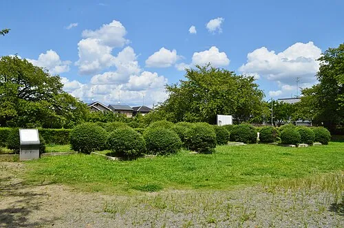
Nagaoka Saigen Jiro · CC0


Climate of Sayama
Best months for sightseeingBest months for sightseeing: May, October.
This month · November
Outside the best season
Day 17° · Night 7° · Rain 73 mm
Better nearby cities in November
- Kochi · 252 km southwest18°
- Fujinomiya · 264 km east18°
- Fuji · 269 km east20°
- Hottest month
- August (day 32°)
- Coldest month
- January (night 1°)
- Wettest month
- June (229 mm)
- Driest month
- December (45 mm)
Bars: average monthly low and high temperature. Below: precipitation. Monthly averages for 1970–2000 at about 18 km resolution, adjusted for elevation. Highlighted months are mild and relatively dry. Source: WorldClim 2.1 (CC BY 4.0).
Show values as a table
| Month | Jan | Feb | Mar | Apr | May | Jun | Jul | Aug | Sep | Oct | Nov | Dec |
|---|---|---|---|---|---|---|---|---|---|---|---|---|
| Average high (°C) | 9° | 9° | 13° | 19° | 24° | 27° | 31° | 32° | 28° | 22° | 17° | 12° |
| Average low (°C) | 1° | 1° | 3° | 9° | 14° | 18° | 23° | 24° | 20° | 13° | 7° | 3° |
| Precipitation (mm) | 56 | 69 | 107 | 142 | 149 | 229 | 211 | 142 | 193 | 117 | 73 | 45 |
How to get to Sayama
The nearest airport is Osaka Itami International Airport (ITM), 30 km to the west as the crow flies. The nearest large city is Uji, 5 km to the east.
Airports
- Osaka Itami International Airport (ITM) Osaka 30 kmwest
- Kobe Airport (UKB) Kobe 55 kmsouthwest
- Kansai International Airport (KIX) Osaka 68 kmsouthwest
Nearby large cities
- Uji Population: 192.9K 5 kmeast
- Hirakata Population: 406.3K 12 kmsouthwest
- Takatsuki Population: 354.5K 13 kmwest
- Neyagawa Population: 238.5K 17 kmsouthwest
- Ōtsu Population: 345.1K 17 kmnortheast
Straight-line distances; road distances are longer. Airport data: OurAirports.
Day trips from Sayama
Within 100 km: 30 historic and cultural sites, 46 natural sites, 28 lakes, rivers and coasts.
0–25 km32 places
- Nanzen-ji Attraction 16 kmN
- Eikan-dō Attraction 16 kmN
- National Museum of Modern Art, Kyoto Museum 15 kmN
- Mount Hiei Mountain 22 kmN
25–60 km30 places
- Mount Rokkō Mountain 46 kmW
- Mount Miwa Mountain 39 kmS
- Mount Amanokagu Mountain 43 kmS
- Mount Miminashi Mountain 40 kmS
60–100 km42 places
- Kumozu River River 77 kmE
- Mount Ōdaigahara Mountain 82 kmS
- Mount Kunimi Mountain 75 kmSE
- Mount Azami Mountain 64 kmSE
Straight-line distances.
Nearby attractions & nature
Everything nearby-
Katsura River River, Japan5 km NW
-
Mount Tennōzan Mountain, Ōyamazaki Chō7.4 km NW
-
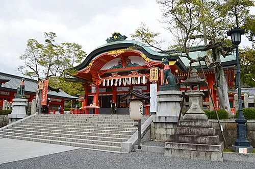 Fushimi Inari-taisha Attraction, Fushimi-ku10 km N
-
Nagaoka Historic site, Nagaokakyō Shi7.7 km NW
-
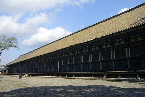 Sanjusangen-do Attraction, Higashiyama District13 km N
-
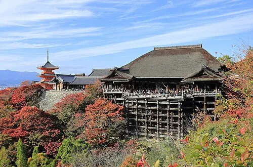 Kiyomizu-dera Attraction, Higashiyama District14 km N
-
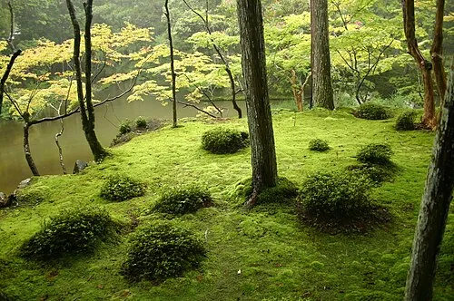 Saiho-ji Attraction, Nishi-kyō Ku14 km NW
-
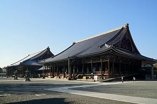 Nishi Hongan Ji Attraction, Shimogyo Ku13 km N
Sources & licences
Data last updated: