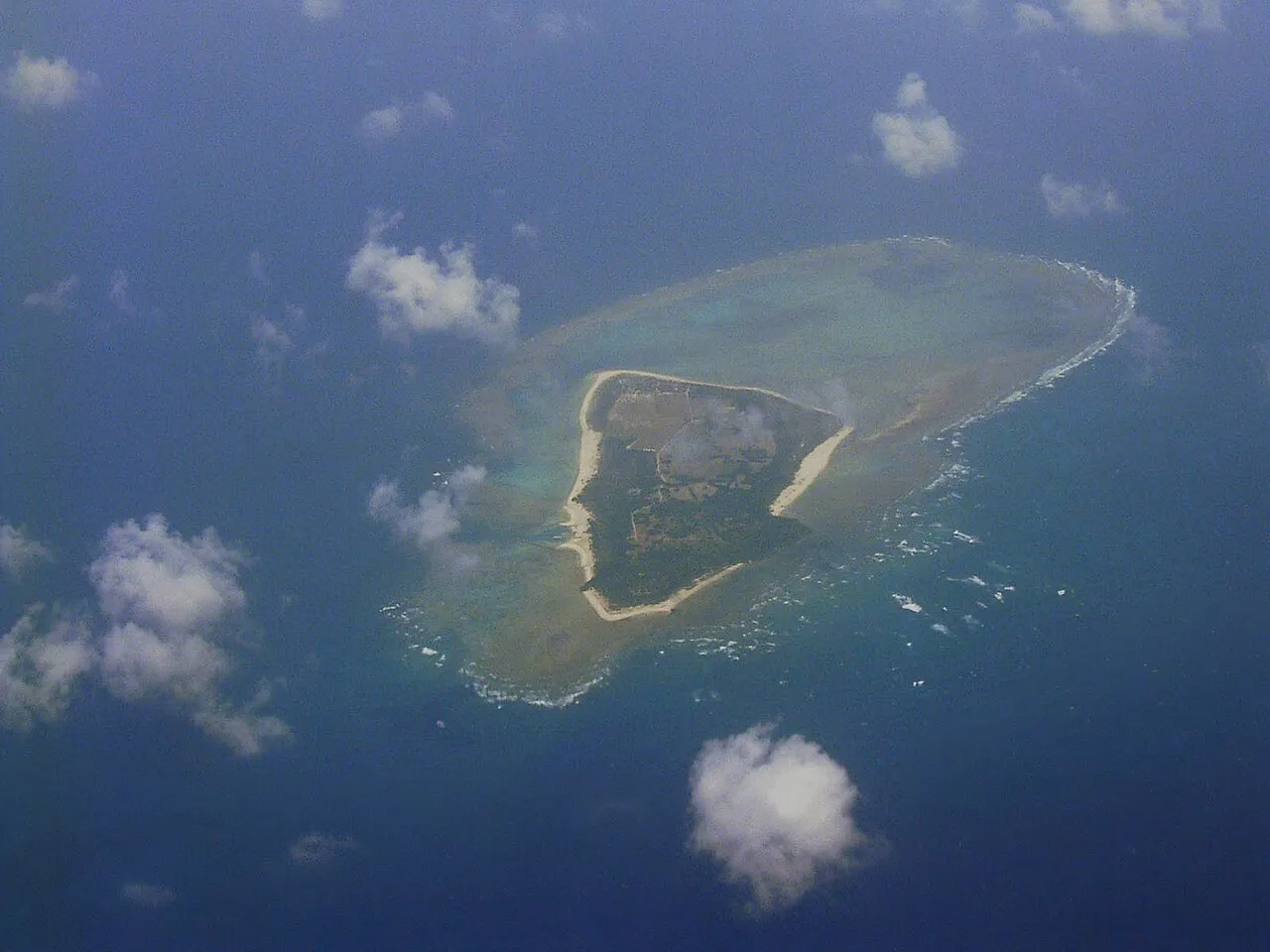
- Elevation
- 9 m
- above sea level
- Local time
- UTC+09:00
- Asia/Tokyo · UTC+09:00
- Airports
- TRA Tarama Airport11 km
- SHI Shimojishima Airport46 km
About Minna Island
Minna Island is an island. Location: Japan.
Minna Island (Miyako and Japanese: 水納島, romanized: Minnajima) is an island in the Miyako Islands in the jurisdiction of Tarama, Miyako District, Okinawa Prefecture, Japan.
Read more on Wikipedia Text: Wikipedia contributors · CC BY-SA 4.0 · shortened
At a glance
- Area
- 2.2 km²
Source: Wikidata
Climate of Minna Island
Best months for sightseeingBest months for sightseeing: November–April.
Bars: average monthly low and high temperature. Below: precipitation. Monthly averages for 1970–2000 at about 18 km resolution, adjusted for elevation. Highlighted months are mild and relatively dry. Source: WorldClim 2.1 (CC BY 4.0).
Show values as a table
| Month | Jan | Feb | Mar | Apr | May | Jun | Jul | Aug | Sep | Oct | Nov | Dec |
|---|---|---|---|---|---|---|---|---|---|---|---|---|
| Average high (°C) | 20° | 21° | 22° | 25° | 27° | 30° | 32° | 31° | 30° | 28° | 25° | 22° |
| Average low (°C) | 16° | 17° | 18° | 21° | 23° | 26° | 27° | 27° | 26° | 24° | 21° | 18° |
| Precipitation (mm) | 151 | 130 | 140 | 158 | 213 | 184 | 150 | 235 | 209 | 206 | 172 | 150 |
Other places to visit in this season: January February March April November December
Airports nearest to Minna Island
- Tarama Airport (TRA) Tarama 11 km
- Shimojishima Airport (SHI) Miyakojima 46 km
- Miyako Airport (MMY) Miyakojima 60 km
Straight-line distance; airports with scheduled flights only. Source: OurAirports (public domain).
Nearest towns and villages
-
Tarama-son Municipality, Miyako-gun9.2 km S
-
Tarama Village, Tarama-son9 km S
More lakes, rivers and coasts in Japan
-
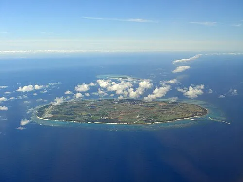 Tarama Shima Island, Okinawa11 km S
-
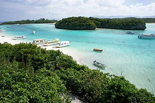 Ishigaki Jima Island, Okinawa64 km SW
-
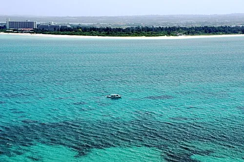 Miyako Island Island, Miyakojima Shi64 km E
-
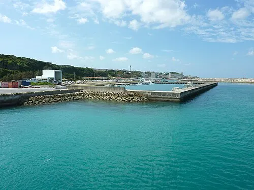 Irabu-jima Island, Japan50 km E
-
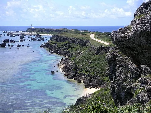 Miyako Islands Island, Japan49 km SE
-
 Yaeyama Group Island, Okinawa85 km SW
Sources & licences
Data last updated: · 2 independent sources