Miyako Island
Local name: 宮古島
Located in Miyakojima Shi, Okinawa Coordinates: 24°47′00″ N 125°20′00″ E
- Elevation
- 37 m
- above sea level
- Local time
- UTC+09:00
- Asia/Tokyo · UTC+09:00
- Population
- 47,825
- 47.8K
- Airports
- MMY Miyako Airport4 km
- SHI Shimojishima Airport20 km
About Miyako Island
Miyako Island is an island. Location: Miyakojima Shi, Okinawa. Population: 47,825.
Miyako Island (Japanese: 宮古島, Hepburn: Miyako-jima; Miyako: Myaaku (ミャーク); Okinawan: Naaku (ナーク)) is the largest and the most populous island among the Miyako Islands of Okinawa Prefecture, Japan. Miyako Island is administered as part of the City of Miyako Island, which includes not only Miyako Island, but also five other islands.
Source: Wikipedia · CC BY-SA 4.0
At a glance
- Length
- 30 km
- Area
- 159 km²
Source: Wikidata
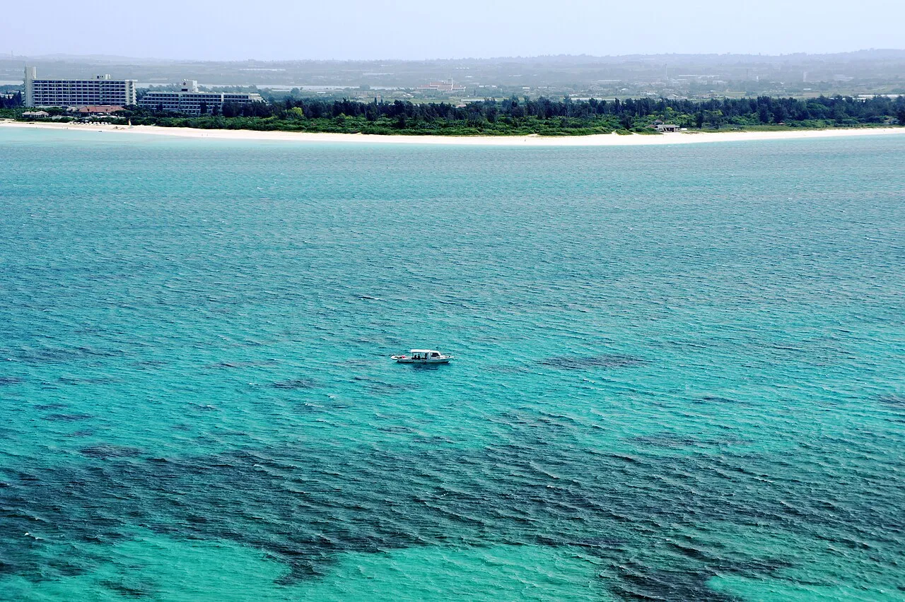
Photos of Miyako Island
-

Raita Futo from Tokyo, Japan · CC BY 2.0 -

Raita Futo from Tokyo, Japan · CC BY 2.0 -

Raita Futo from Tokyo, Japan · CC BY 2.0


Travel notes for Miyako Island
From Wikivoyage
Miyako (宮古島 Miyakojima) is the largest of the Miyako Islands.
Understand+
Most of the Miyako's 50,000 or so residents live in Hirara (平良), the main business and entertainment district on the island. The rest of the island is pretty much undeveloped, with the exception of a few coastal tourist spots, especially Shigira (シギラ) in the south. Sugar cane and to a lesser extent tobacco are the island's cash crops. There is not much to see, not much of a downtown, no man-made wonders to behold, no rivers to explore and no mountains to climb. Don't despair! The lack of rivers and mountains means there is no silty run-off to cloud the water. Miyako and the two connected islands, Kurima (来間) to the west and Ikema (池間) to the north, have miles of nameless white sand beaches and clear blue water. On a moonlit night you can wade out chest deep to watch the "yakouchu" (夜光虫, Noctiluca scintillans) and still see your toes wiggle. During the day the snorkeling, diving and other beach activities are as good as it gets in Okinawa.
Tourist information site:
The local tourist association has a Japanese-only guide site, also covering five smaller islands nearby.
Get in+
By plane:
1 Miyako Airport (MMY IATA). Offers direct connections to Tokyo (Haneda), Naha and Ishigaki on JTA and ANA. Chances are you will be transferring in Naha so consider spending some time on the main Okinawa Island as well.
See also Irabu#By plane for Shimojishima Airport SHI IATA, which serves various low-cost carriers and is only a 25-min drive away.
By ferry:
As of April 2024, there are no scheduled ferry services from outside the Miyako Islands.
Source: Wikivoyage · CC BY-SA 4.0 · abridged
Climate of Miyako Island
Best months for sightseeingBest months for sightseeing: November–April.
This month · November
A good month to visit
Day 25° · Night 20° · Rain 174 mm
- Hottest month
- July (day 31°)
- Coldest month
- January (night 15°)
- Wettest month
- August (241 mm)
- Driest month
- February (134 mm)
Bars: average monthly low and high temperature. Below: precipitation. Monthly averages for 1970–2000 at about 18 km resolution, adjusted for elevation. Highlighted months are mild and relatively dry. Source: WorldClim 2.1 (CC BY 4.0).
Show values as a table
| Month | Jan | Feb | Mar | Apr | May | Jun | Jul | Aug | Sep | Oct | Nov | Dec |
|---|---|---|---|---|---|---|---|---|---|---|---|---|
| Average high (°C) | 20° | 21° | 23° | 25° | 27° | 30° | 31° | 31° | 30° | 28° | 25° | 22° |
| Average low (°C) | 15° | 16° | 17° | 20° | 22° | 25° | 26° | 26° | 25° | 23° | 20° | 17° |
| Precipitation (mm) | 153 | 134 | 150 | 164 | 219 | 198 | 164 | 241 | 215 | 212 | 174 | 152 |
Other places to visit in this season: January February March April November December
How to get to Miyako Island
The nearest airport is Miyako Airport (MMY), 4 km to the west as the crow flies. The nearest large city is Naha, 284 km to the northeast.
Airports
- Miyako Airport (MMY) Miyakojima 4 kmwest
- Shimojishima Airport (SHI) Miyakojima 20 kmwest
- Tarama Airport (TRA) Tarama 68 kmwest
Nearby large cities
- Naha Population: 317.6K 284 kmnortheast
- Urasoe Population: 115.7K 291 kmnortheast
- Ginowan Population: 100.1K 294 kmnortheast
- Okinawa Population: 142.8K 302 kmnortheast
- Uruma Population: 125.3K 309 kmnortheast
Straight-line distances; road distances are longer. Airport data: OurAirports.
Day trips from Miyako Island
Within 100 km: 8 lakes, rivers and coasts.
0–25 km5 places
- Irabu-jima Island 16 kmW
- Ikema Island Island 19 kmNW
- Kurima Jima Island 11 kmSW
- Shimoji-shima Island 18 kmW
25–60 km1 place
- Miyako Islands Island 54 kmSW
60–100 km2 places
- Tarama Shima Island 66 kmW
- Minna Island Island 64 kmW
Straight-line distances.
Nearest towns and villages
-
Miyakojima City, Miyakojima Shi2.4 km W
-
Hirara Town, Miyakojima Shi3.9 km NW
-
Ueno Village, Miyakojima Shi5.4 km S
Nearby attractions & nature
Everything nearby-
Kurima Jima Island, Japan11 km SW
-
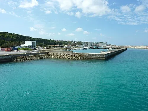 Irabu-jima Island, Japan16 km W
-
 Shimoji-shima Island, Okinawa18 km W
-
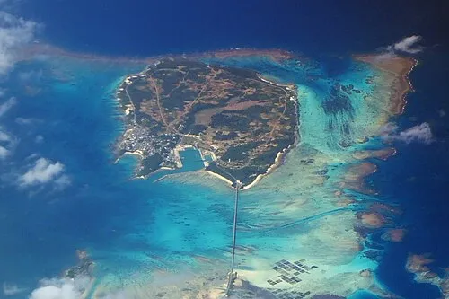 Ikema Island Island, Japan19 km NW
-
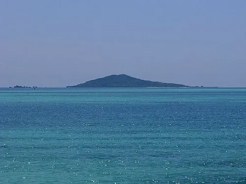 Ōgami-jima Island, Japan15 km N
Sources & licences
Data last updated: · 2 independent sources