- Elevation
- 53 m
- above sea level
- Local time
- UTC+09:00
- Asia/Tokyo · UTC+09:00
- Airports
- MMY Miyako Airport5 km
- SHI Shimojishima Airport20 km
About Ueno
Ueno is a village. Location: Miyakojima Shi, Okinawa. Elevation: 53 m.
Ueno (上野村, Ueno-son; Miyako: Uinu) was a village located in Miyako District, Okinawa, Japan. It was home to the Ueno German Culture Village. As of 2003, the village has an estimated population of 3,236 and a density of 170.5 persons per km2. The total area was 18.98 km2. On October 1, 2005, Ueno, along with the city of Hirara, and the towns of Gusukube, Irabu and Shimoji (all from Miyako District), was merged to create the city of Miyakojima.
Source: Wikipedia · CC BY-SA 4.0
At a glance
- Built
- 1948
Source: Wikidata
Climate of Ueno
Best months for sightseeingBest months for sightseeing: November–April.
This month · November
A good month to visit
Day 25° · Night 20° · Rain 174 mm
- Hottest month
- July (day 31°)
- Coldest month
- January (night 15°)
- Wettest month
- August (241 mm)
- Driest month
- February (134 mm)
Bars: average monthly low and high temperature. Below: precipitation. Monthly averages for 1970–2000 at about 18 km resolution, adjusted for elevation. Highlighted months are mild and relatively dry. Source: WorldClim 2.1 (CC BY 4.0).
Show values as a table
| Month | Jan | Feb | Mar | Apr | May | Jun | Jul | Aug | Sep | Oct | Nov | Dec |
|---|---|---|---|---|---|---|---|---|---|---|---|---|
| Average high (°C) | 20° | 20° | 22° | 25° | 27° | 30° | 31° | 31° | 30° | 28° | 25° | 22° |
| Average low (°C) | 15° | 15° | 17° | 20° | 22° | 25° | 26° | 26° | 25° | 23° | 20° | 17° |
| Precipitation (mm) | 153 | 134 | 150 | 164 | 219 | 198 | 164 | 241 | 215 | 212 | 174 | 152 |
Other places to visit in this season: January February March April November December
How to get to Ueno
The nearest airport is Miyako Airport (MMY), 5 km to the north as the crow flies. The nearest large city is Naha, 288 km to the northeast.
Airports
- Miyako Airport (MMY) Miyakojima 5 kmnorth
- Shimojishima Airport (SHI) Miyakojima 20 kmnorthwest
- Tarama Airport (TRA) Tarama 65 kmwest
Nearby large cities
- Naha Population: 317.6K 288 kmnortheast
- Urasoe Population: 115.7K 296 kmnortheast
- Ginowan Population: 100.1K 298 kmnortheast
- Okinawa Population: 142.8K 306 kmnortheast
- Uruma Population: 125.3K 313 kmnortheast
Straight-line distances; road distances are longer. Airport data: OurAirports.
Day trips from Ueno
Within 100 km: 9 lakes, rivers and coasts.
0–25 km6 places
- Miyako Island Island 5 kmN
- Irabu-jima Island 17 kmNW
- Ikema Island Island 23 kmN
- Kurima Jima Island 7 kmW
25–60 km1 place
- Miyako Islands Island 49 kmSW
60–100 km2 places
- Tarama Shima Island 63 kmW
- Minna Island Island 62 kmW
Straight-line distances.
Nearby attractions & nature
Everything nearby-
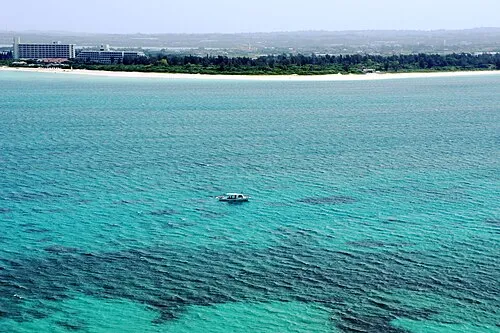 Miyako Island Island, Miyakojima Shi5.4 km N
-
Kurima Jima Island, Japan7.2 km W
-
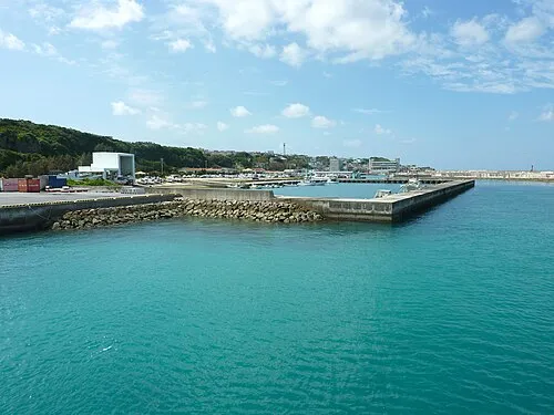 Irabu-jima Island, Japan17 km NW
-
 Shimoji-shima Island, Okinawa18 km NW
-
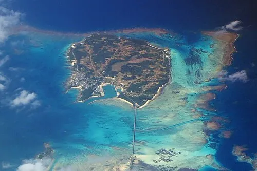 Ikema Island Island, Japan23 km N
-
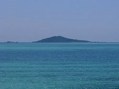 Ōgami-jima Island, Japan20 km N
Sources & licences
Data last updated: · 2 independent sources