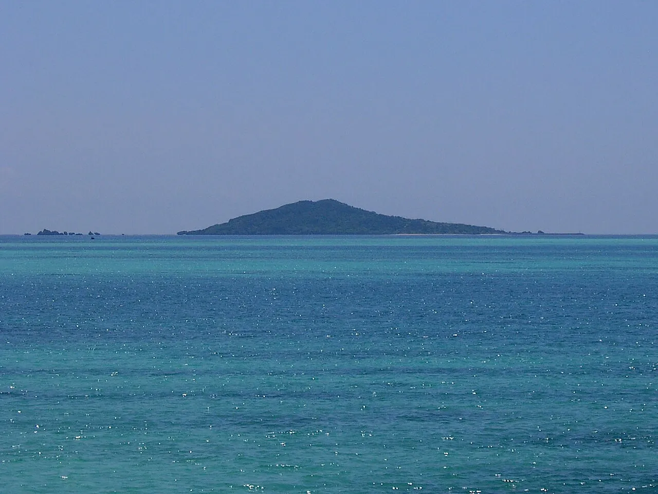
- Elevation
- 54 m
- above sea level
- Local time
- UTC+09:00
- Asia/Tokyo · UTC+09:00
- Airports
- MMY Miyako Airport15 km
- SHI Shimojishima Airport19 km
About Ōgami-jima
Ōgami-jima is an island. Location: Japan.
Ōgami Island (Japanese: 大神島; Miyako: Ukam) is one of the islands of the Miyako Islands. It is about 4km north of Miyako-jima (island) and belongs to Miyakojima City, which was created in 2005 by a merger of many smaller towns on the island chain. Before the merger, it belonged to Hirara City. The area is 0.24 km2, and the population is 35.
Read more on Wikipedia Text: Wikipedia contributors · CC BY-SA 4.0 · shortened
Climate of Ōgami-jima
Best months for sightseeingBest months for sightseeing: October–May.
Bars: average monthly low and high temperature. Below: precipitation. Monthly averages for 1970–2000 at about 18 km resolution, adjusted for elevation. Highlighted months are mild and relatively dry. Source: WorldClim 2.1 (CC BY 4.0).
Show values as a table
| Month | Jan | Feb | Mar | Apr | May | Jun | Jul | Aug | Sep | Oct | Nov | Dec |
|---|---|---|---|---|---|---|---|---|---|---|---|---|
| Average high (°C) | 20° | 20° | 22° | 25° | 27° | 29° | 31° | 31° | 30° | 27° | 24° | 21° |
| Average low (°C) | 16° | 16° | 17° | 20° | 22° | 25° | 26° | 26° | 25° | 23° | 20° | 17° |
| Precipitation (mm) | 153 | 133 | 150 | 163 | 216 | 194 | 157 | 237 | 212 | 209 | 173 | 150 |
Other places to visit in this season: January February March April May October November December
Airports nearest to Ōgami-jima
- Miyako Airport (MMY) Miyakojima 15 km
- Shimojishima Airport (SHI) Miyakojima 19 km
- Tarama Airport (TRA) Tarama 70 km
Straight-line distance; airports with scheduled flights only. Source: OurAirports (public domain).
Nearest towns and villages
-
Hirara Town, Miyakojima Shi12 km S
-
Miyakojima City, Miyakojima Shi14 km S
-
Ueno Village, Miyakojima Shi20 km S
Nearby attractions & nature
Everything nearby-
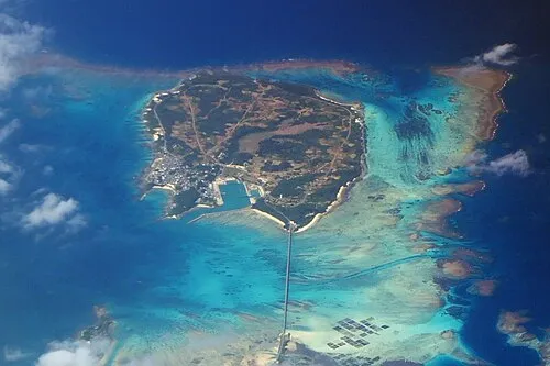 Ikema Island Island, Japan6.7 km W
-
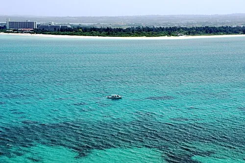 Miyako Island Island, Miyakojima Shi15 km S
-
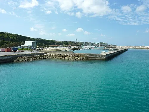 Irabu-jima Island, Japan15 km SW
-
 Shimoji-shima Island, Okinawa19 km SW
-
Kurima Jima Island, Japan22 km S
More lakes, rivers and coasts in Japan
-
 Yaeyama Group Island, Okinawa147 km SW
-
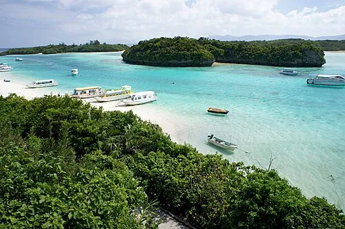 Ishigaki Jima Island, Okinawa126 km SW
-
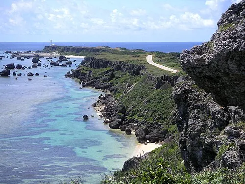 Miyako Islands Island, Japan65 km SW
-
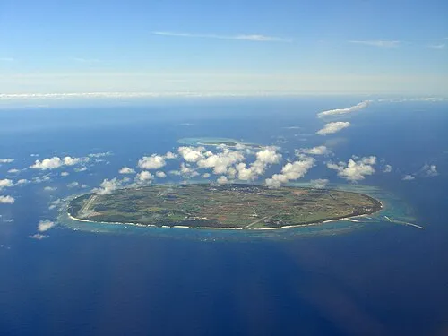 Tarama Shima Island, Okinawa68 km SW
-
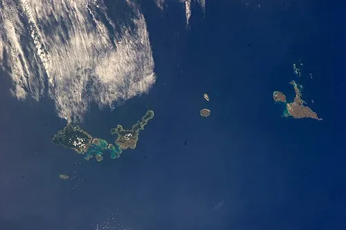 Sakishima Group Island, Okinawa133 km W
-
 Taketomi-shima Island, Okinawa141 km SW
Sources & licences
Data last updated: · 2 independent sources