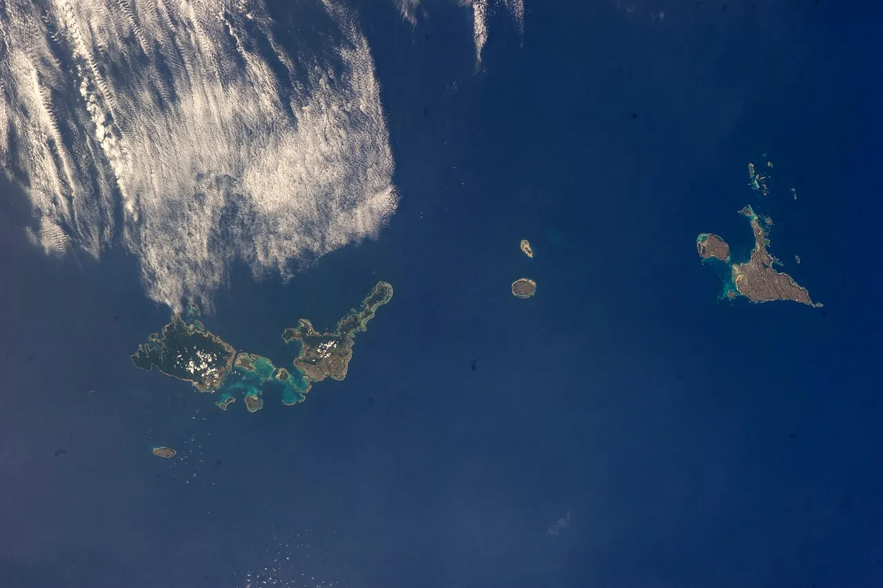
Sakishima Group
Local name: 先島諸島
Located in Okinawa, Japan Coordinates: 24°46′00″ N 124°00′00″ E
- Local time
- UTC+09:00
- Asia/Tokyo · UTC+09:00
- Population
- 105,708
- 105.7K
- Airports
- ISG New Ishigaki Airport48 km
- TRA Tarama Airport69 km
About Sakishima Group
Sakishima Group is an island. Location: Okinawa, Japan. Population: 105,708.
The Sakishima Islands (Japanese: 先島諸島 / 先島群島, Hepburn: Sakishima-shotō / Sakishima-guntō; Okinawan: Sachishima; Miyako: Saksїzїma; Yaeyama: Sakїzїma; Yonaguni: Satichima) are an archipelago located at the southernmost end of the Japanese archipelago. They are part of the Ryukyu Islands and include the Miyako Islands and the Yaeyama Islands. The islands are administered as part of Okinawa Prefecture, Japan.
Read more on Wikipedia Text: Wikipedia contributors · CC BY-SA 4.0 · shortened
At a glance
- Area
- 818 km²
Source: Wikidata
Climate of Sakishima Group
Best months for sightseeingBest months for sightseeing: October–May.
Bars: average monthly low and high temperature. Below: precipitation. Monthly averages for 1970–2000 at about 18 km resolution, adjusted for elevation. Highlighted months are mild and relatively dry. Source: WorldClim 2.1 (CC BY 4.0).
Show values as a table
| Month | Jan | Feb | Mar | Apr | May | Jun | Jul | Aug | Sep | Oct | Nov | Dec |
|---|---|---|---|---|---|---|---|---|---|---|---|---|
| Average high (°C) | 20° | 20° | 22° | 24° | 27° | 29° | 31° | 30° | 29° | 27° | 24° | 21° |
| Average low (°C) | 16° | 16° | 18° | 20° | 23° | 25° | 26° | 26° | 25° | 23° | 20° | 18° |
| Precipitation (mm) | 152 | 130 | 136 | 159 | 213 | 188 | 151 | 236 | 212 | 207 | 175 | 152 |
Other places to visit in this season: January February March April May October November December
Airports nearest to Sakishima Group
- New Ishigaki Airport (ISG) Ishigaki 48 km
- Tarama Airport (TRA) Tarama 69 km
- Yonaguni Airport (OGN) Yonaguni 108 km
Straight-line distance; airports with scheduled flights only. Source: OurAirports (public domain).
Nearest towns and villages
-
Ishigaki City, Ishigaki-shi49 km S
-
Taketomi Chō Municipality, Yaeyama-gun52 km S
More lakes, rivers and coasts in Japan
-
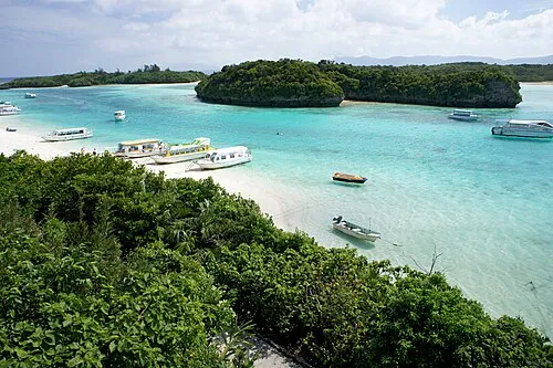 Ishigaki Jima Island, Okinawa45 km SE
-
 Yaeyama Group Island, Okinawa48 km S
-
 Iriomote Jima Island, Okinawa51 km S
-
 Taketomi-shima Island, Okinawa51 km S
-
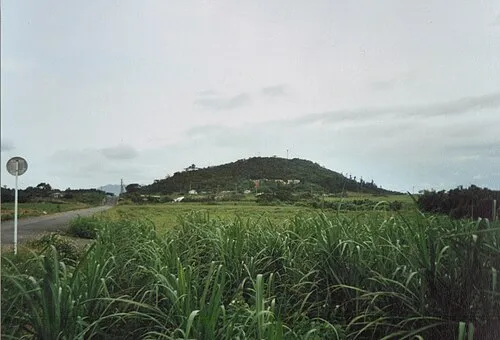 Kohama Island Island, Okinawa47 km S
-
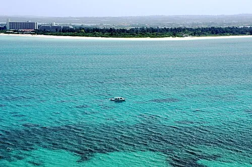 Miyako Island Island, Miyakojima Shi135 km E
Sources & licences
Data last updated: · 2 independent sources