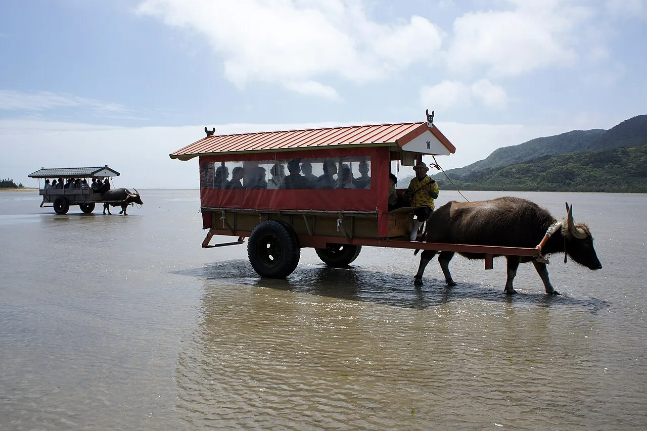
- Population
- 1,466,944
- 1.5M
- Elevation
- 83 m
- above sea level
- Local time
- UTC+09:00
- Asia/Tokyo · UTC+09:00
- Places inside
- 53
- listed under Okinawa
- Airports
- OKA Naha International Airport45 km
- RNJ Yoron Airport76 km
About Okinawa
Okinawa is a region. Location: Japan. Population: 1,466,944.
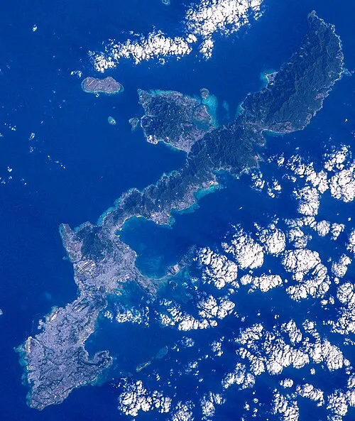
Okinawa Prefecture (Japanese: 沖縄県, Hepburn: Okinawa-ken; pronounced [ò̞.k̟ʲí.nä́.β̞ä́(.kè̞ɴ̀)]; Okinawan: ウチナーチン, romanized: Uchinaachin) is the southernmost and westernmost prefecture of Japan. It consists of three main island groups—the Okinawa Islands, the Sakishima Islands, and the Daitō Islands—spread across a maritime zone approximately 1,000 kilometers east to west and 400 kilometers north to south.
Read more on Wikipedia Text: Wikipedia contributors · CC BY-SA 4.0 · shortened
Places bordering Okinawa
- Kagoshima
Twin towns and sister cities of Okinawa
- Hawaii· United States
Source: Wikidata. Only places with a page on this site are shown.
Climate of Okinawa
Best months for sightseeingBest months for sightseeing: March–May, November–January.
Bars: average monthly low and high temperature. Below: precipitation. Monthly averages for 1970–2000 at about 18 km resolution, adjusted for elevation. Highlighted months are mild and relatively dry. Source: WorldClim 2.1 (CC BY 4.0).
Show values as a table
| Month | Jan | Feb | Mar | Apr | May | Jun | Jul | Aug | Sep | Oct | Nov | Dec |
|---|---|---|---|---|---|---|---|---|---|---|---|---|
| Average high (°C) | 19° | 19° | 21° | 23° | 26° | 29° | 31° | 30° | 29° | 27° | 24° | 20° |
| Average low (°C) | 14° | 14° | 16° | 19° | 21° | 24° | 26° | 26° | 25° | 23° | 19° | 16° |
| Precipitation (mm) | 121 | 126 | 168 | 191 | 240 | 233 | 170 | 232 | 189 | 168 | 134 | 109 |
Other places to visit in this season: January March April May November December
Airports nearest to Okinawa
- Naha International Airport (OKA) Naha 45 km
- Yoron Airport (RNJ) Yoron 76 km
- Kumejima Airport (UEO) Kumejima 123 km
Straight-line distance; airports with scheduled flights only. Source: OurAirports (public domain).
Places in Okinawa
53 places- 1 Okinawa Islands 1.3M
- 2 Naha Shi 322.5K
- 3 Nakagami 151.9K
- 4 Okinawa Shi 138.9K
- 5 Uruma Shi 121K
- 6 Urasoe Shi 114.2K
- 7 Sakishima Group 105.7K
- 8 Ginowan Shi 95.9K
- 9 Kunigami-gun 63.2K
- 10 Nago Shi 61.9K
- 11 Tomigusuku-shi 60.8K
- 12 Itoman Shi 59.9K
- 13 Miyakojima Shi 55K
- 14 Yaeyama Group 53.6K
- 15 Ishigaki-shi 48.8K
- 16 Ishigaki Jima 47.6K
- 17 Nanjō Shi 41.8K
- 18 Kume Jima 8.7K
- 19 Yaeyama-gun 6K
- 20 Kunigami 4.9K
- 21 Iriomote Jima 2.2K
- 22 Daitō Islands 2.1K
- 23 Kerama Islands 1.8K
- 24 Kumi Island 1.7K
- 25 Izena Jima 1.5K
- 26 Borodino Island 1.4K
- 27 Iheya 1.2K
- 28 Iheya Island 1.2K
- 29 Miyako-gun 1.1K
- 30 Tarama Shima 1K
- 31 Kitadaitō Jima 665
- 32 Kohama Island 634
- 33 Zamami Island 582
- 34 Hateruma Jima 482
- 35 Aka Island 330
- 36 Taketomi-shima 323
- 37 Shimoji-shima 76
- 38 Minna Shima 39
Bar: population relative to the most populous place in this list.
-
Fukaji Shima Island
-
Irisuna-jima Island
-
Oki Daitō Island Island
-
Aguni Island Island
-
Geruma Island Island
-
Kabira Bay Natural site
-
Katsuren Peninsula Natural site
-
Kokuba Gawa River
-
Mae Shima Island
-
Motobu Hantō Natural site
-
Nakagusuku Bay Natural site
-
Nakama-wan Natural site
-
Shimajiri-gun District
-
Tokashiki Jima Island
-
Tsuken Jima Island
Largest cities and towns
-
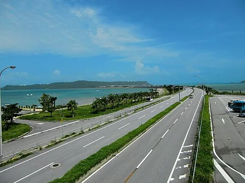 Uruma City, Uruma Shi125.3K
-
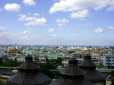 Urasoe City, Urasoe Shi115.7K
-
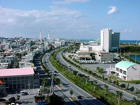 Ginowan City, Ginowan Shi100.1K
-
Kin Chō Municipality, Kunigami-gun11.4K
-
Motobu Chō Municipality, Kunigami-gun13.7K
-
Yomitan Village Municipality, Nakagami41.1K
-
Haebaru Chō Municipality, Shimajiri-gun36.6K
-
Nishihara Town Municipality, Nakagami35.3K
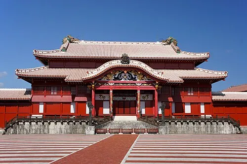
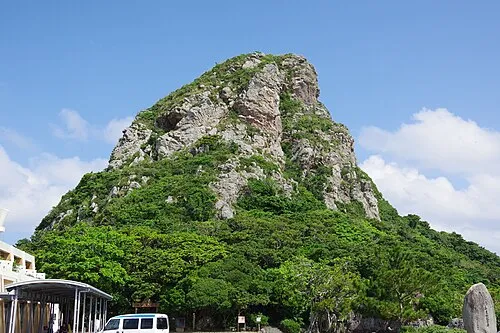
Nature and heritage in Okinawa
Sources & licences
Data last updated: · 2 independent sources