- Elevation
- 41 m
- above sea level
- Local time
- UTC+09:00
- Asia/Tokyo · UTC+09:00
- Airports
- OKA Naha International Airport35 km
- UEO Kumejima Airport62 km
About Fukaji Shima
Fukaji Shima is an island. Location: Okinawa, Japan.
Fukaji Island (外地島, Fukaji-jima) is an uninhabited island in the Pacific Ocean. It is part of the Kerama Islands group in Shimajiri District, Okinawa Prefecture, Japan. The Kerama Airport is located on Fukaji. There is an observatory for whale watching near the entrance of the airport.
Read more on Wikipedia Text: Wikipedia contributors · CC BY-SA 4.0 · shortened
At a glance
- Length
- 1.6 km
- Area
- 83 ha
Source: Wikidata
Climate of Fukaji Shima
Best months for sightseeingBest months for sightseeing: November–May.
Bars: average monthly low and high temperature. Below: precipitation. Monthly averages for 1970–2000 at about 18 km resolution, adjusted for elevation. Highlighted months are mild and relatively dry. Source: WorldClim 2.1 (CC BY 4.0).
Show values as a table
| Month | Jan | Feb | Mar | Apr | May | Jun | Jul | Aug | Sep | Oct | Nov | Dec |
|---|---|---|---|---|---|---|---|---|---|---|---|---|
| Average high (°C) | 20° | 19° | 21° | 23° | 26° | 29° | 31° | 31° | 30° | 27° | 24° | 21° |
| Average low (°C) | 16° | 15° | 17° | 20° | 22° | 25° | 27° | 26° | 25° | 24° | 21° | 18° |
| Precipitation (mm) | 133 | 130 | 176 | 183 | 239 | 245 | 176 | 252 | 216 | 174 | 135 | 111 |
Other places to visit in this season: January February March April May November December
Airports nearest to Fukaji Shima
- Naha International Airport (OKA) Naha 35 km
- Kumejima Airport (UEO) Kumejima 62 km
- Yoron Airport (RNJ) Yoron 147 km
Straight-line distance; airports with scheduled flights only. Source: OurAirports (public domain).
Nearest towns and villages
-
Zamami Village Municipality, Shimajiri-gun3.7 km N
-
Tokashiki Village Municipality, Shimajiri-gun7.6 km NE
-
Zamami Village, Zamami Village6.8 km N
-
Tokashiki Village, Tokashiki Village7.8 km NE
-
Tonaki Village Municipality, Shimajiri-gun26 km NW
-
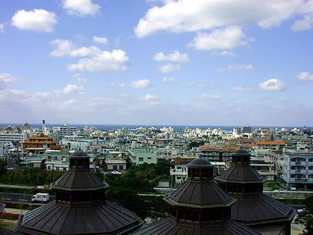 Urasoe City, Urasoe Shi45 km E
Nearby attractions & nature
Everything nearby-
Fukaji Island Island, Japan0.2 km W
-
Geruma Island Island, Okinawa1.6 km N
-
Aka Island Island, Okinawa3.7 km N
-
 Kerama Islands Island, Okinawa5.4 km NE
-
Tokashiki Jima Island, Okinawa6.6 km NE
-
Zamami Island Island, Okinawa7.7 km N
-
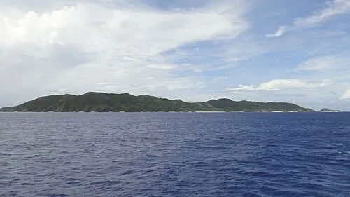 Mae Shima Island, Okinawa16 km E
More lakes, rivers and coasts in Japan
-
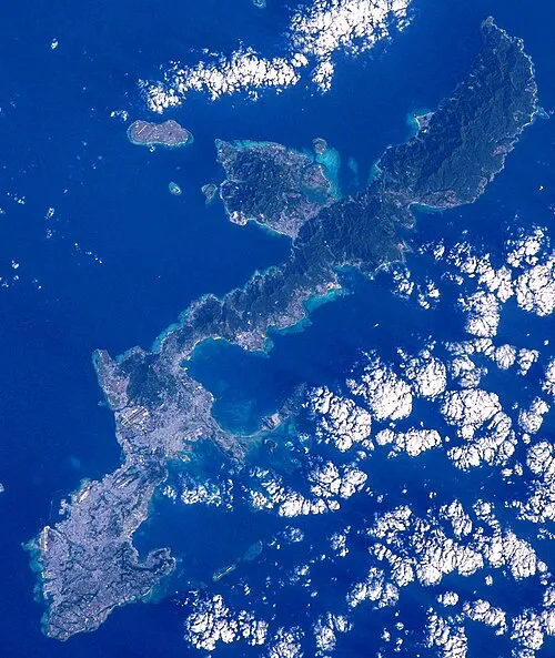 Okinawa Island, Ginoza Son75 km NE
-
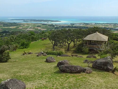 Kume Jima Island, Okinawa56 km W
-
 Okinawa Islands Island, Okinawa95 km NE
-
Irisuna-jima Island, Okinawa31 km NW
-
 Aguni Island Island, Okinawa47 km N
-
 Minna Shima Island, Okinawa75 km NE
Sources & licences
Data last updated: · 2 independent sources