Okinawa
Local name: 沖縄本島
Located in Ginoza Son, Kunigami-gun Coordinates: 26°30′25″ N 127°56′45″ E
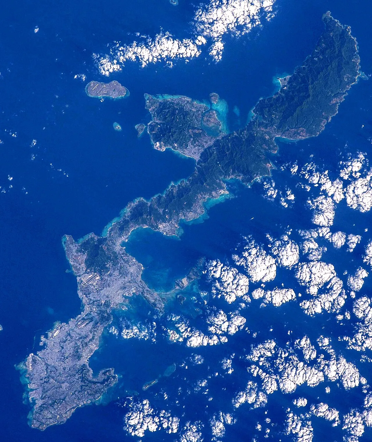
- Elevation
- 23 m
- above sea level
- Local time
- UTC+09:00
- Asia/Tokyo · UTC+09:00
- Population
- 1,466,870
- 1.5M
- Airports
- OKA Naha International Airport46 km
- RNJ Yoron Airport75 km
About Okinawa
Okinawa is an island. Location: Ginoza Son, Kunigami-gun. Population: 1,466,870.
Okinawa Island (Japanese: 沖縄島, Hepburn: Okinawa-jima; Okinawan: 沖縄 / うちなー, romanized: Uchinā; Kunigami: ふちなー, romanized: Fuchináa), also known as Okinawa Main Island (沖縄本島, Okinawa-hontō), is the largest of the Okinawa Islands and the Ryukyu (Nansei) Islands of Japan in the Kyushu region. The island is approximately 106 kilometres (66 mi) long, an average 11 kilometres (7 mi) wide, and has an area of 1,206.98 square kilometers (466.02 sq mi).
Source: Wikipedia · CC BY-SA 4.0
At a glance
- Length
- 107 km
- Area
- 1,208 km²
Source: Wikidata
Photos of Okinawa
-

Yes Yes NoNoNo · CC BY-SA 4.0 -

Airman 1st Class Stephen Pulter · Public domain -

KyūMaruOtami · CC BY-SA 4.0 -

Kugel~commonswiki · CC BY-SA 4.0 -

US Military · Public domain


Travel notes for Okinawa
From Wikivoyage
Okinawa Island (沖縄本島 Okinawa-hontō) is the largest and most populated island of Okinawa Prefecture in Japan.
Understand+
Okinawa Island is by far the largest and most populated of Okinawa's islands, with over 90% of the population. For better or worse, the island is what people think of when they think of Okinawa: beaches and snorkeling, large resort hotels, US military bases and WW2 battle sites.
Around a quarter of Okinawa Island's land area — including much of the best arable land — is occupied by US military bases, and there are almost 80,000 US military personnel, support staff and their families on the island. Many Okinawans are unhappy that their small island with less than 1% of Japan's land area has to host them all, but decades-long negotiations to reduce or at least relocate the base footprint have made only fitful progress.
Get in+
Naha International Airport is the primary way to get into Okinawa Island, and is only 2 km from downtown Naha. See the main Okinawa article for details and the Naha article for local transport.
The increasingly few remaining ferries from mainland Japan stop at Naha and Motobu. See Okinawa#By ship for details.
Source: Wikivoyage · CC BY-SA 4.0 · abridged
Climate of Okinawa
Best months for sightseeingBest months for sightseeing: March–May, November–January.
This month · November
A good month to visit
Day 24° · Night 20° · Rain 137 mm
- Hottest month
- July (day 31°)
- Coldest month
- January (night 14°)
- Wettest month
- May (243 mm)
- Driest month
- December (109 mm)
Bars: average monthly low and high temperature. Below: precipitation. Monthly averages for 1970–2000 at about 18 km resolution, adjusted for elevation. Highlighted months are mild and relatively dry. Source: WorldClim 2.1 (CC BY 4.0).
Show values as a table
| Month | Jan | Feb | Mar | Apr | May | Jun | Jul | Aug | Sep | Oct | Nov | Dec |
|---|---|---|---|---|---|---|---|---|---|---|---|---|
| Average high (°C) | 19° | 19° | 21° | 23° | 26° | 29° | 31° | 31° | 29° | 27° | 24° | 20° |
| Average low (°C) | 14° | 14° | 16° | 19° | 22° | 24° | 26° | 26° | 25° | 23° | 20° | 16° |
| Precipitation (mm) | 122 | 128 | 168 | 196 | 243 | 241 | 175 | 232 | 188 | 169 | 137 | 109 |
Other places to visit in this season: January March April May November December
How to get to Okinawa
The nearest airport is Naha International Airport (OKA), 46 km to the southwest as the crow flies. The nearest large city is Uruma, 17 km to the southwest.
Airports
- Naha International Airport (OKA) Naha 46 kmsouthwest
- Yoron Airport (RNJ) Yoron 75 kmnortheast
- Kumejima Airport (UEO) Kumejima 124 kmwest
Nearby large cities
- Uruma Population: 125.3K 17 kmsouthwest
- Okinawa Population: 142.8K 24 kmsouthwest
- Ginowan Population: 100.1K 33 kmsouthwest
- Urasoe Population: 115.7K 35 kmsouthwest
- Naha Population: 317.6K 42 kmsouthwest
Straight-line distances; road distances are longer. Airport data: OurAirports.
Day trips from Okinawa
Within 100 km: 1 historic or cultural site, 9 natural sites, 19 lakes, rivers and coasts.
0–25 km8 places
- Okinawa Islands Island 23 kmNE
- Minna Shima Island 20 kmNW
- Mount Ishikawa Mountain 13 kmSW
- Mount Onna Mountain 8 kmSW
25–60 km11 places
- Iejima Island Island 29 kmNW
- Izena Jima Island 47 kmN
- Iheya Island Island 60 kmN
- Kokuba Gawa River 43 kmSW
60–100 km10 places
- Yoronjima Island 76 kmNE
- Kerama Islands Island 70 kmSW
- Zamami Island Island 71 kmSW
- Aka Island Island 75 kmSW
Straight-line distances.
Nearest towns and villages
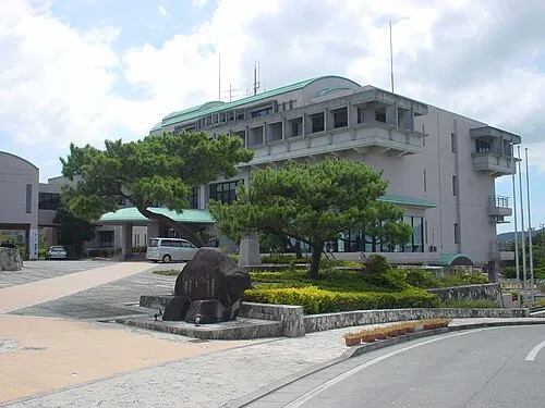
Nearby attractions & nature
Everything nearby-
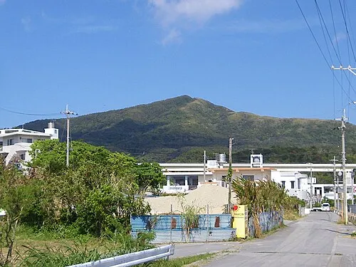 Mount Onna Mountain, Kunigami-gun7.7 km SW
-
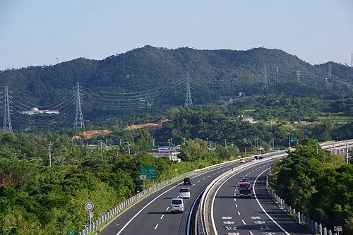 Mount Ishikawa Mountain, Kunigami-gun13 km SW
-
Ryukyu Islands Island, Kin Chō11 km SW
-
 Minna Shima Island, Okinawa20 km NW
-
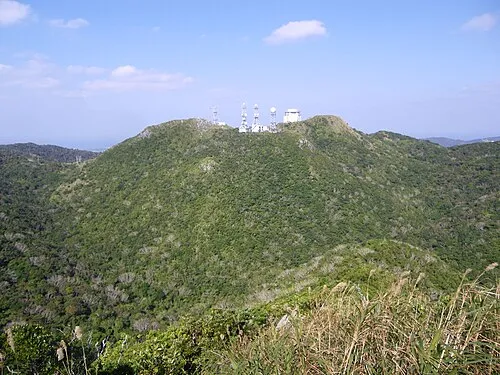 Mount Yae Mountain, Motobu Chō14 km N
-
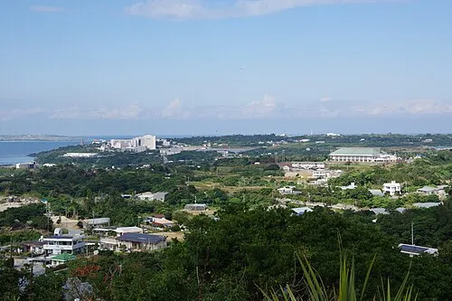 Motobu Hantō Natural site, Okinawa18 km N
-
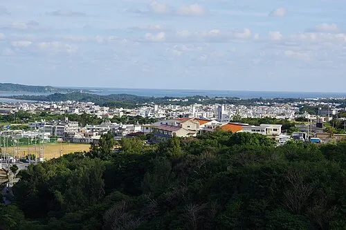 Katsuren Peninsula Natural site, Okinawa21 km S
-
 Okinawa Islands Island, Okinawa23 km NE
Sources & licences
Data last updated: · 2 independent sources