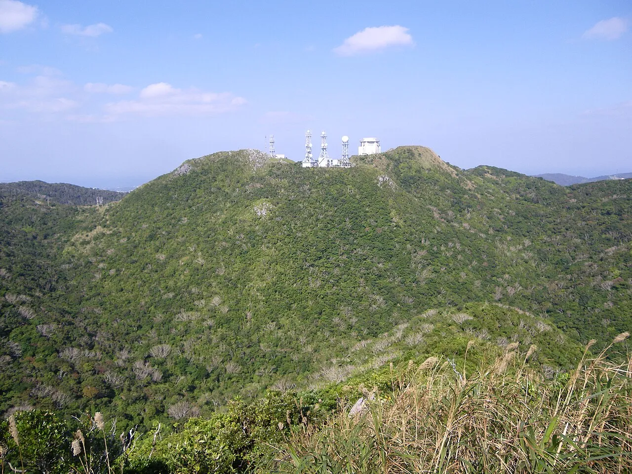
- Elevation
- 453 m
- above sea level
- Local time
- UTC+09:00
- Asia/Tokyo · UTC+09:00
- Airports
- OKA Naha International Airport57 km
- RNJ Yoron Airport65 km
About Mount Yae
Mount Yae is a mountain. Location: Motobu Chō, Kunigami-gun. Elevation: 453 m.
Mount Yae (八重岳, Yae-dake; Kunigami: Yē-dakī, Okinawan: Yē-daki), also known as Mount Yaedake or Yae-take, is a mountain in Motobu, Okinawa on Okinawa Island. It is the tallest mountain on the Motobu Peninsula, standing at 453.4 m (1,487 ft 6+1⁄2 in). Nakijin Castle and Nago Castle were built nearby in the 14th century. The mountain itself was used as a major Japanese defensive position during the Battle of Okinawa. Today it is famous for its annual Cherry Blossom Festival (桜祭り, Sakura Matsuri) held in March.
Source: Wikipedia · CC BY-SA 4.0
Photos of Mount Yae
-

Kugel~commonswiki · CC BY-SA 4.0 -

Kugel~commonswiki · CC BY-SA 4.0 -
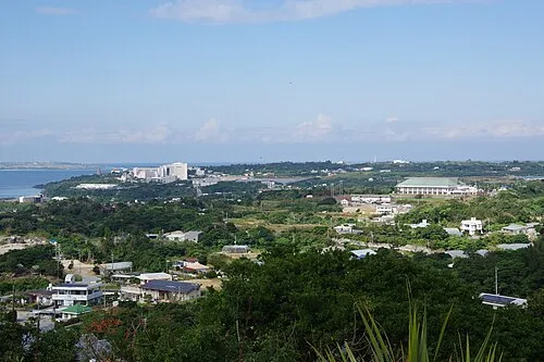
Motobu Hantō Kugel~commonswiki · CC BY-SA 4.0


Climate of Mount Yae
Best months for sightseeingBest months for sightseeing: April–June, October–November.
This month · November
A good month to visit
Day 21° · Night 17° · Rain 137 mm
- Hottest month
- July (day 28°)
- Coldest month
- January (night 11°)
- Wettest month
- May (243 mm)
- Driest month
- December (109 mm)
Bars: average monthly low and high temperature. Below: precipitation. Monthly averages for 1970–2000 at about 18 km resolution, adjusted for elevation. Highlighted months are mild and relatively dry. Source: WorldClim 2.1 (CC BY 4.0).
Show values as a table
| Month | Jan | Feb | Mar | Apr | May | Jun | Jul | Aug | Sep | Oct | Nov | Dec |
|---|---|---|---|---|---|---|---|---|---|---|---|---|
| Average high (°C) | 16° | 16° | 18° | 20° | 23° | 26° | 28° | 28° | 27° | 24° | 21° | 18° |
| Average low (°C) | 11° | 11° | 13° | 16° | 19° | 22° | 24° | 23° | 22° | 20° | 17° | 13° |
| Precipitation (mm) | 122 | 128 | 168 | 196 | 243 | 241 | 175 | 232 | 188 | 169 | 137 | 109 |
Other places to visit in this season: April May June October November
How to get to Mount Yae
The nearest airport is Naha International Airport (OKA), 57 km to the southwest as the crow flies. The nearest large city is Uruma, 30 km to the south.
Airports
- Naha International Airport (OKA) Naha 57 kmsouthwest
- Yoron Airport (RNJ) Yoron 65 kmnortheast
- Okinoerabu Airport (OKE) Wadomari 117 kmnortheast
Nearby large cities
- Uruma Population: 125.3K 30 kmsouth
- Okinawa Population: 142.8K 36 kmsouth
- Ginowan Population: 100.1K 45 kmsouth
- Urasoe Population: 115.7K 46 kmsouthwest
- Naha Population: 317.6K 53 kmsouthwest
Straight-line distances; road distances are longer. Airport data: OurAirports.
Day trips from Mount Yae
Within 100 km: 1 historic or cultural site, 8 natural sites, 20 lakes, rivers and coasts.
0–25 km9 places
- Iejima Island Island 17 kmNW
- Okinawa Island 14 kmS
- Okinawa Islands Island 13 kmNE
- Minna Shima Island 11 kmW
25–60 km9 places
- Izena Jima Island 33 kmN
- Iheya Island Island 46 kmN
- Kokuba Gawa River 54 kmSW
- Shuri Castle Historic site 51 kmSW
60–100 km11 places
- Yoronjima Island 67 kmNE
- Kerama Islands Island 76 kmSW
- Zamami Island Island 76 kmSW
- Aka Island Island 81 kmSW
Straight-line distances.
Nearest towns and villages
-
Motobu Town, Motobu Chō3.4 km NW
-
Nakijin Son Municipality, Kunigami-gun6.3 km NE
-
Nago City, Nago Shi6.1 km E
-
Nakijin Town, Nakijin Son6.2 km NE
-
Ie Village Municipality, Kunigami-gun17 km NW
-
Ie Village, Ie Village14 km NW
Nearby attractions & nature
Everything nearby-
Motobu Hantō Natural site, Okinawa3.4 km N
-
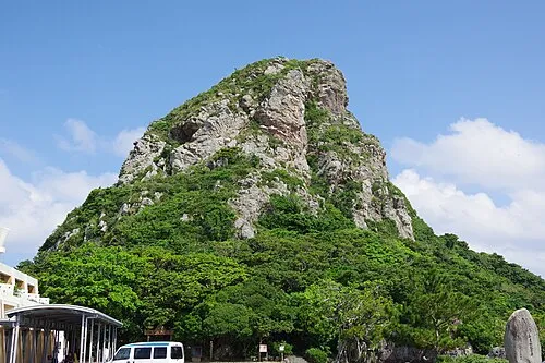 Mount Gusuku Mountain, Ie Village15 km NW
-
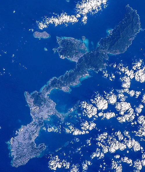 Okinawa Island, Ginoza Son14 km S
-
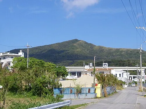 Mount Onna Mountain, Kunigami-gun18 km S
-
 Minna Shima Island, Okinawa11 km W
-
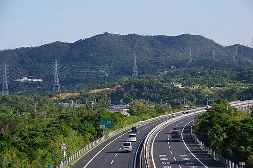 Mount Ishikawa Mountain, Kunigami-gun23 km SW
-
 Okinawa Islands Island, Okinawa13 km NE
-
Iejima Island Island, Japan17 km NW
Sources & licences
Data last updated: · 2 independent sources