
- Elevation
- 7 m
- above sea level
- Local time
- UTC+09:00
- Asia/Tokyo · UTC+09:00
- Population
- 39
- 39
- Airports
- OKA Naha International Airport53 km
- RNJ Yoron Airport73 km
About Minna Shima
Minna Shima is an island. Location: Okinawa, Japan. Population: 39.
Minna Island (Japanese: 水納島, Hepburn: Minnajima) is a crescent-shaped island within the Okinawa Islands, under the administration of the town of Motobu in Kunigami District, Okinawa Prefecture, Japan. It is a popular destination for snorkeling. The island, considered sacred by locals, was first settled at the turn of the 20th century by migrants from nearby Sesoko Island. As of 2025, it had 18 inhabitants.
Read more on Wikipedia Text: Wikipedia contributors · CC BY-SA 4.0 · shortened
At a glance
- Length
- 1.1 km
- Area
- 47 ha
Source: Wikidata
Climate of Minna Shima
Best months for sightseeingBest months for sightseeing: November–May.
Bars: average monthly low and high temperature. Below: precipitation. Monthly averages for 1970–2000 at about 18 km resolution, adjusted for elevation. Highlighted months are mild and relatively dry. Source: WorldClim 2.1 (CC BY 4.0).
Show values as a table
| Month | Jan | Feb | Mar | Apr | May | Jun | Jul | Aug | Sep | Oct | Nov | Dec |
|---|---|---|---|---|---|---|---|---|---|---|---|---|
| Average high (°C) | 20° | 19° | 21° | 23° | 26° | 29° | 31° | 31° | 30° | 28° | 25° | 22° |
| Average low (°C) | 16° | 16° | 17° | 20° | 23° | 25° | 27° | 27° | 26° | 24° | 21° | 18° |
| Precipitation (mm) | 125 | 127 | 165 | 191 | 239 | 240 | 172 | 232 | 190 | 168 | 136 | 109 |
Other places to visit in this season: January February March April May November December
Airports nearest to Minna Shima
- Naha International Airport (OKA) Naha 53 km
- Yoron Airport (RNJ) Yoron 73 km
- Kumejima Airport (UEO) Kumejima 114 km
Straight-line distance; airports with scheduled flights only. Source: OurAirports (public domain).
Nearest towns and villages
-
Motobu Chō Municipality, Kunigami-gun9.3 km E
-
Ie Village Municipality, Kunigami-gun8.6 km N
-
Ie Village, Ie Village6.9 km N
-
Motobu Town, Motobu Chō9 km E
-
Nakijin Son Municipality, Kunigami-gun15 km E
-
Nakijin Town, Nakijin Son16 km E
Nearby attractions & nature
Everything nearby-
Iejima Island Island, Japan8.9 km N
-
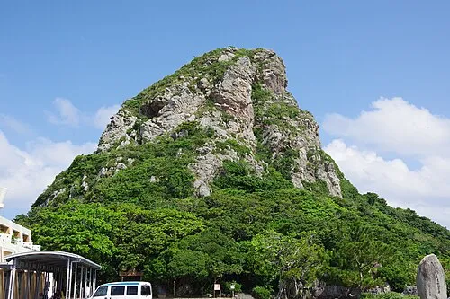 Mount Gusuku Mountain, Ie Village8 km N
-
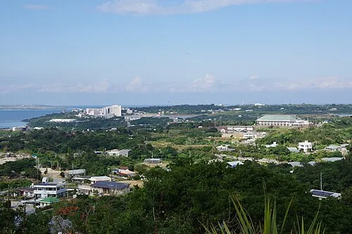 Motobu Hantō Natural site, Okinawa12 km E
-
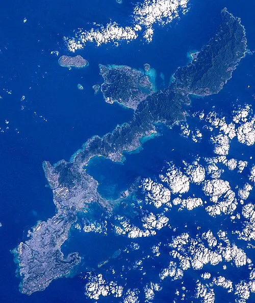 Okinawa Island, Ginoza Son20 km SE
-
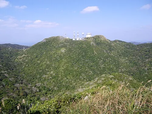 Mount Yae Mountain, Motobu Chō11 km E
-
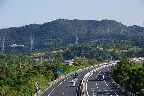 Mount Ishikawa Mountain, Kunigami-gun22 km S
-
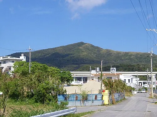 Mount Onna Mountain, Kunigami-gun20 km S
-
 Okinawa Islands Island, Okinawa23 km E
More lakes, rivers and coasts in Japan
-
Izena Jima Island, Okinawa34 km N
-
Ryukyu Islands Island, Kin Chō26 km S
-
 Kerama Islands Island, Okinawa69 km SW
-
 Iheya Island Island, Okinawa46 km N
-
Zamami Island Island, Okinawa68 km SW
-
Aka Island Island, Okinawa73 km SW
Sources & licences
Data last updated: · 2 independent sources