Okinawa Islands
Local name: 沖縄諸島
Located in Okinawa, Japan Coordinates: 26°41′35″ N 128°02′37″ E

- Elevation
- 503 m
- above sea level
- Local time
- UTC+09:00
- Asia/Tokyo · UTC+09:00
- Population
- 1,280,000
- 1.3M
- Airports
- RNJ Yoron Airport53 km
- OKA Naha International Airport69 km
About Okinawa Islands
Okinawa Islands is an island. Location: Okinawa, Japan. Population: 1,280,000.
The Okinawa Islands (Japanese: 沖縄諸島 / 沖縄群島, Hepburn: Okinawa Shotō / Okinawa Guntō) are an island group in Okinawa Prefecture, Japan, and are the principal island group of the prefecture. The Okinawa Islands are part of the larger Ryukyu Islands group and are located between the Amami Islands of Kagoshima Prefecture to the northeast and the Sakishima Islands of Okinawa Prefecture to the southwest.
Source: Wikipedia · CC BY-SA 4.0
At a glance
- Area
- 1,416 km²
Source: Wikidata
Climate of Okinawa Islands
Best months for sightseeingBest months for sightseeing: April–June, September–November.
This month · November
A good month to visit
Day 21° · Night 17° · Rain 142 mm
- Hottest month
- July (day 28°)
- Coldest month
- January (night 11°)
- Wettest month
- May (244 mm)
- Driest month
- December (111 mm)
Bars: average monthly low and high temperature. Below: precipitation. Monthly averages for 1970–2000 at about 18 km resolution, adjusted for elevation. Highlighted months are mild and relatively dry. Source: WorldClim 2.1 (CC BY 4.0).
Show values as a table
| Month | Jan | Feb | Mar | Apr | May | Jun | Jul | Aug | Sep | Oct | Nov | Dec |
|---|---|---|---|---|---|---|---|---|---|---|---|---|
| Average high (°C) | 15° | 15° | 17° | 20° | 23° | 25° | 28° | 28° | 26° | 24° | 21° | 17° |
| Average low (°C) | 11° | 11° | 13° | 16° | 19° | 21° | 23° | 23° | 22° | 20° | 17° | 13° |
| Precipitation (mm) | 125 | 129 | 167 | 200 | 244 | 243 | 177 | 226 | 183 | 169 | 142 | 111 |
Other places to visit in this season: April May June September October November
How to get to Okinawa Islands
The nearest airport is Yoron Airport (RNJ), 53 km to the northeast as the crow flies. For international flights: Naha International Airport (OKA) (69 km). The nearest large city is Uruma, 40 km to the southwest.
Airports
- Yoron Airport (RNJ) Yoron 53 kmnortheast
- Naha International Airport (OKA) Naha 69 kmsouthwest
- Okinoerabu Airport (OKE) Wadomari 105 kmnortheast
Nearby large cities
- Uruma Population: 125.3K 40 kmsouthwest
- Okinawa Population: 142.8K 46 kmsouthwest
- Ginowan Population: 100.1K 55 kmsouthwest
- Urasoe Population: 115.7K 57 kmsouthwest
- Naha Population: 317.6K 64 kmsouthwest
Straight-line distances; road distances are longer. Airport data: OurAirports.
Nearest towns and villages
Nearby attractions & nature
Everything nearby-
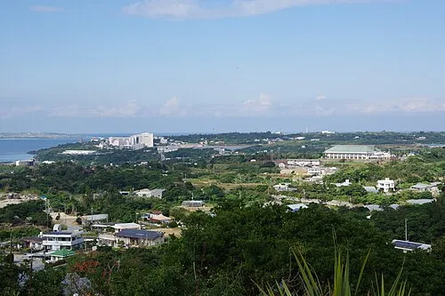 Motobu Hantō Natural site, Okinawa11 km W
-
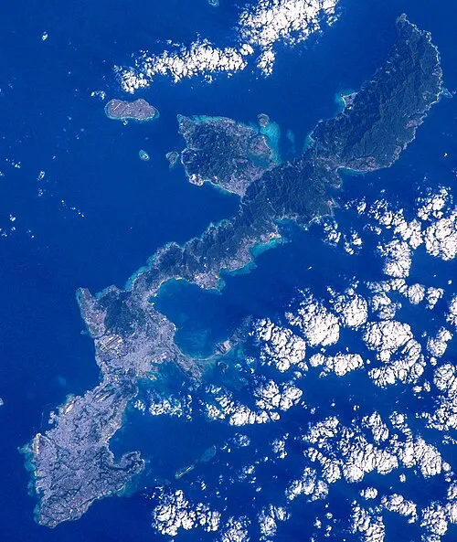 Okinawa Island, Ginoza Son23 km SW
-
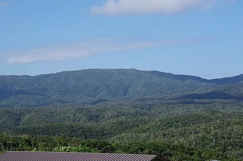 Mount Yonaha Mountain, Kunigami Village18 km E
-
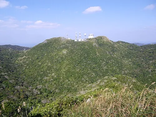 Mount Yae Mountain, Motobu Chō13 km SW
-
 Minna Shima Island, Okinawa23 km W
-
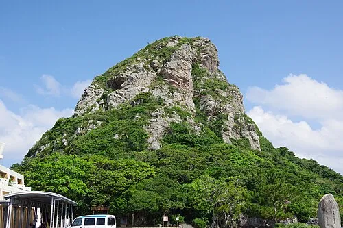 Mount Gusuku Mountain, Ie Village24 km W
More lakes, rivers and coasts in Japan
-
Izena Jima Island, Okinawa29 km N
-
 Iheya Island Island, Okinawa40 km N
-
 Kerama Islands Island, Okinawa90 km SW
-
Zamami Island Island, Okinawa89 km SW
-
Ryukyu Islands Island, Kin Chō34 km SW
-
Aka Island Island, Okinawa94 km SW
Sources & licences
Data last updated: · 2 independent sources