- Elevation
- 42 m
- above sea level
- Local time
- UTC+09:00
- Asia/Tokyo · UTC+09:00
- Population
- 1,535
- 1.5K
- Airports
- RNJ Yoron Airport48 km
- OKA Naha International Airport88 km
About Izena Jima
Izena Jima is an island. Location: Okinawa, Japan. Population: 1,535.
Izena Island (Japanese: 伊是名島, Hepburn: Izena-jima; Okinawan: イジナ, romanized: Ijina) is located in the East China Sea, north-west of Okinawa Island, in the Ryukyu Islands of Japan. The island has a diameter of about 5 kilometres (3.1 mi) and is surrounded by coral reefs, blue sea, and white beaches. It is administered as Izena Village. The five settlements of about equal size and population which are located on the island are Izena, Nakada, Shomi, Uchihana, and Jicchaku (also called Serikyaku).
Read more on Wikipedia Text: Wikipedia contributors · CC BY-SA 4.0 · shortened
At a glance
- Length
- 5 km
- Area
- 14.1 km²
Source: Wikidata
Climate of Izena Jima
Best months for sightseeingBest months for sightseeing: March–May, November–December.
Bars: average monthly low and high temperature. Below: precipitation. Monthly averages for 1970–2000 at about 18 km resolution, adjusted for elevation. Highlighted months are mild and relatively dry. Source: WorldClim 2.1 (CC BY 4.0).
Show values as a table
| Month | Jan | Feb | Mar | Apr | May | Jun | Jul | Aug | Sep | Oct | Nov | Dec |
|---|---|---|---|---|---|---|---|---|---|---|---|---|
| Average high (°C) | 18° | 18° | 20° | 23° | 25° | 28° | 31° | 31° | 29° | 27° | 23° | 20° |
| Average low (°C) | 14° | 14° | 16° | 19° | 21° | 24° | 26° | 26° | 25° | 23° | 20° | 16° |
| Precipitation (mm) | 121 | 126 | 162 | 196 | 237 | 241 | 172 | 220 | 179 | 161 | 138 | 106 |
Other places to visit in this season: March April May November December
Airports nearest to Izena Jima
- Yoron Airport (RNJ) Yoron 48 km
- Naha International Airport (OKA) Naha 88 km
- Okinoerabu Airport (OKE) Wadomari 94 km
Straight-line distance; airports with scheduled flights only. Source: OurAirports (public domain).
Nearest towns and villages
-
Izena Village Municipality, Shimajiri-gun0.3 km SW
-
Izena Village, Izena Village2.2 km S
-
Iheya Village, Okinawa9.9 km N
-
Iheya Village Municipality, Shimajiri-gun13 km N
-
Ie Village Municipality, Kunigami-gun28 km SW
-
Motobu Chō Municipality, Kunigami-gun31 km S
More lakes, rivers and coasts in Japan
-
 Iheya Island Island, Okinawa12 km N
-
 Okinawa Islands Island, Okinawa29 km S
-
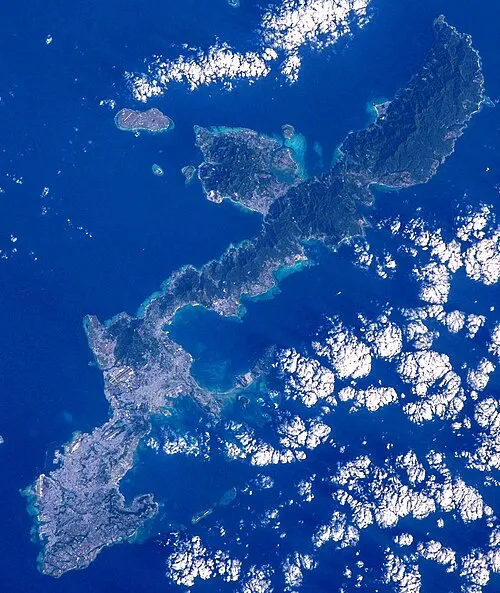 Okinawa Island, Ginoza Son47 km S
-
 Minna Shima Island, Okinawa34 km S
-
 Kerama Islands Island, Okinawa101 km SW
-
Zamami Island Island, Okinawa100 km SW
Sources & licences
Data last updated: · 2 independent sources