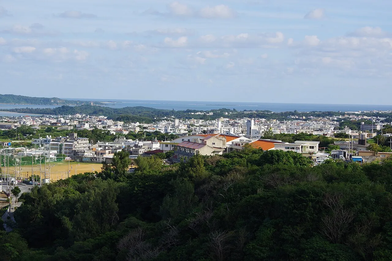
- Elevation
- 44 m
- above sea level
- Local time
- UTC+09:00
- Asia/Tokyo · UTC+09:00
- Airports
- OKA Naha International Airport29 km
- RNJ Yoron Airport94 km
About Katsuren Peninsula
Katsuren Peninsula is a natural site. Location: Okinawa, Japan.
The Katsuren Peninsula (勝連半島, Katsuren hantō; Okinawan: Kacchin) is a peninsula on Okinawa Island. It is bordered by Nakagusuku Bay to the south, Kin Bay to the north, and the Pacific Ocean to the east. The entire peninsula is part of Uruma City. Katsuren Castle is on the south-central part of the peninsula. The Kaichū Dōro is a road connecting the Katsuren Peninsula to Henza Island. Offshore, coral reefs are found.
Source: Wikipedia · CC BY-SA 4.0
Climate of Katsuren Peninsula
Best months for sightseeingBest months for sightseeing: November–May.
This month · November
A good month to visit
Day 24° · Night 20° · Rain 132 mm
- Hottest month
- July (day 31°)
- Coldest month
- February (night 15°)
- Wettest month
- May (237 mm)
- Driest month
- December (106 mm)
Bars: average monthly low and high temperature. Below: precipitation. Monthly averages for 1970–2000 at about 18 km resolution, adjusted for elevation. Highlighted months are mild and relatively dry. Source: WorldClim 2.1 (CC BY 4.0).
Show values as a table
| Month | Jan | Feb | Mar | Apr | May | Jun | Jul | Aug | Sep | Oct | Nov | Dec |
|---|---|---|---|---|---|---|---|---|---|---|---|---|
| Average high (°C) | 19° | 19° | 21° | 23° | 26° | 29° | 31° | 31° | 30° | 27° | 24° | 21° |
| Average low (°C) | 15° | 15° | 16° | 19° | 22° | 24° | 26° | 26° | 25° | 23° | 20° | 16° |
| Precipitation (mm) | 120 | 125 | 168 | 189 | 237 | 222 | 162 | 228 | 188 | 169 | 132 | 106 |
Other places to visit in this season: January February March April May November December
How to get to Katsuren Peninsula
The nearest airport is Naha International Airport (OKA), 29 km to the southwest as the crow flies. The nearest large city is Uruma, 7 km to the northwest.
Airports
- Naha International Airport (OKA) Naha 29 kmsouthwest
- Yoron Airport (RNJ) Yoron 94 kmnortheast
- Kumejima Airport (UEO) Kumejima 118 kmwest
Nearby large cities
- Uruma Population: 125.3K 7 kmnorthwest
- Okinawa Population: 142.8K 10 kmwest
- Ginowan Population: 100.1K 15 kmsouthwest
- Urasoe Population: 115.7K 18 kmsouthwest
- Naha Population: 317.6K 25 kmsouthwest
Straight-line distances; road distances are longer. Airport data: OurAirports.
Nearest towns and villages
-
Katsuren-haebaru Town, Uruma Shi2.5 km NW
-
Gushikawa Town, Uruma Shi5 km NW
-
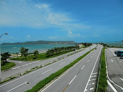 Uruma City, Uruma Shi7 km NW
-
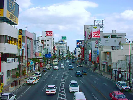 Okinawa City, Okinawa Shi9.6 km W
-
Kitanakagusuku Son Municipality, Nakagami10 km W
-
Nakagusuku Son Municipality, Nakagami13 km SW
Nearby attractions & nature
Everything nearby-
Tsuken Jima Island, Okinawa8.7 km SE
-
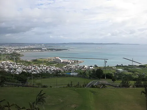 Nakagusuku Bay Natural site, Okinawa10 km S
-
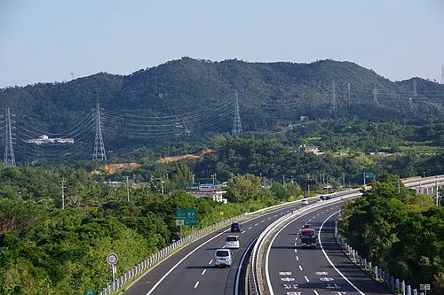 Mount Ishikawa Mountain, Kunigami-gun15 km NW
-
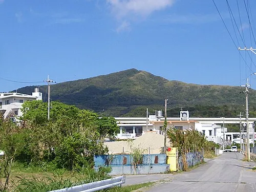 Mount Onna Mountain, Kunigami-gun17 km N
-
Ryukyu Islands Island, Kin Chō11 km N
-
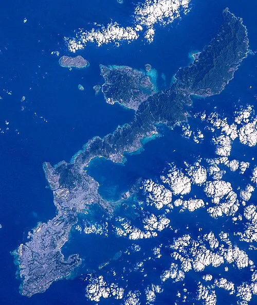 Okinawa Island, Ginoza Son21 km N
-
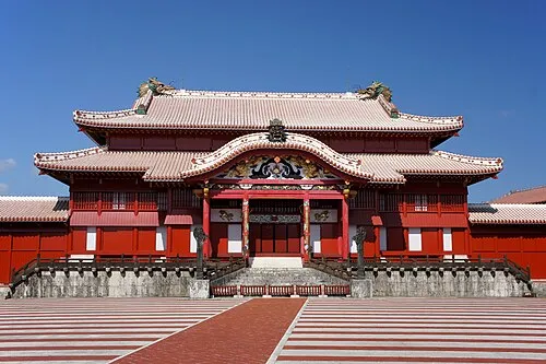 Shuri Castle Historic site, Naha Shi21 km SW
More nature in Japan
-
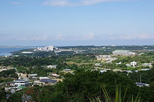 Motobu Hantō Natural site, Okinawa38 km N
-
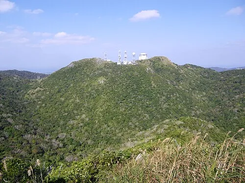 Mount Yae Mountain, Motobu Chō35 km N
-
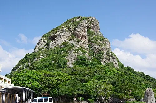 Mount Gusuku Mountain, Ie Village45 km N
-
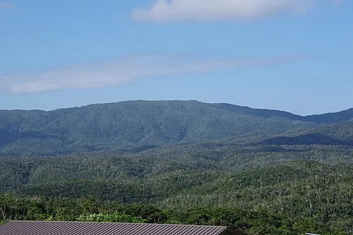 Mount Yonaha Mountain, Kunigami Village54 km NE
-
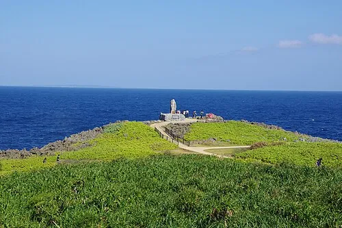 Hedo Misaki Natural site, Kunigami Village71 km NE
Sources & licences
Data last updated: · 2 independent sources