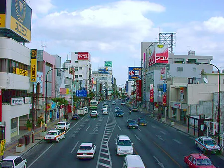
- Population
- 142,752
- 142.8K
- Elevation
- 112 m
- above sea level
- Local time
- UTC+09:00
- Asia/Tokyo · UTC+09:00
- Airports
- OKA Naha International Airport23 km
- RNJ Yoron Airport99 km
About Okinawa
Okinawa is a city. Location: Okinawa Shi, Okinawa. Population: 142,752. Elevation: 112 m. The best months to visit are March–May, November–December. The nearest airport is Naha International Airport (23 km). Nearby sights include Katsuren Peninsula and Mount Ishikawa.
Travel notes for Okinawa
From Wikivoyage
Central Okinawa (沖縄中部 Okinawa-chubu), also known as Nakagami (中頭), is the central region of Okinawa Island.
Understand+
Central Okinawa is the narrowest part of the island. Much of the area, particular on the west coast near Ginowan (宜野湾), Chatan (北谷) and Kadena (嘉手納) is occupied by the large US military bases and consequently has a notable US military presence. The main stretch of Route 58 in front of Camp Foster is all too American, with three lanes flanked on both sides by strip mall shops with English signage and drive-thru fast food restaurants
The eastern coast is more residential, with the three cities of Urasoe (浦添), Uruma (うるま), and Okinawa City (沖縄市), formerly Koza (コザ). If you see highway signs for "Okinawa", they're referring to this city.
Tourist information site:
Some cities have their own bilingual tourism info sites, including Chatan Tourism and KOZAWEB (Okinawa City).
Get in+
Highway 58 from Naha goes up the western coast through Ginowan, Chatan, Kadena and Yomitan. Rush hour jams can be quite bad.
For the eastern cities, the highway bus goes to Motobu and Nago via Okinawa City. Local bases from Naha Bus Terminal to Koza, Via Route 329 and Route 330.
Source: Wikivoyage · CC BY-SA 4.0 · abridged
Climate of Okinawa
Best months for sightseeingBest months for sightseeing: March–May, November–December.
This month · November
A good month to visit
Day 24° · Night 19° · Rain 132 mm
- Hottest month
- July (day 31°)
- Coldest month
- January (night 14°)
- Wettest month
- August (241 mm)
- Driest month
- December (108 mm)
Bars: average monthly low and high temperature. Below: precipitation. Monthly averages for 1970–2000 at about 18 km resolution, adjusted for elevation. Highlighted months are mild and relatively dry. Source: WorldClim 2.1 (CC BY 4.0).
Show values as a table
| Month | Jan | Feb | Mar | Apr | May | Jun | Jul | Aug | Sep | Oct | Nov | Dec |
|---|---|---|---|---|---|---|---|---|---|---|---|---|
| Average high (°C) | 18° | 19° | 20° | 23° | 26° | 29° | 31° | 30° | 29° | 27° | 24° | 20° |
| Average low (°C) | 14° | 14° | 16° | 18° | 21° | 24° | 26° | 26° | 25° | 22° | 19° | 15° |
| Precipitation (mm) | 122 | 126 | 170 | 189 | 240 | 234 | 174 | 241 | 195 | 169 | 132 | 108 |
Other places to visit in this season: March April May November December
How to get to Okinawa
The nearest airport is Naha International Airport (OKA), 23 km to the southwest as the crow flies. The nearest large city is Uruma, 7 km to the northeast.
Airports
- Naha International Airport (OKA) Naha 23 kmsouthwest
- Yoron Airport (RNJ) Yoron 99 kmnortheast
- Kumejima Airport (UEO) Kumejima 109 kmwest
Nearby large cities
- Uruma Population: 125.3K 7 kmnortheast
- Ginowan Population: 100.1K 9 kmsouthwest
- Urasoe Population: 115.7K 11 kmsouthwest
- Naha Population: 317.6K 18 kmsouthwest
Straight-line distances; road distances are longer. Airport data: OurAirports.
Day trips from Okinawa
Within 100 km: 1 historic or cultural site, 9 natural sites, 19 lakes, rivers and coasts.
0–25 km9 places
- Okinawa Island 24 kmNE
- Kokuba Gawa River 19 kmSW
- Mount Ishikawa Mountain 13 kmN
- Mount Onna Mountain 17 kmNE
25–60 km15 places
- Iejima Island Island 43 kmN
- Okinawa Islands Island 46 kmNE
- Kerama Islands Island 49 kmW
- Zamami Island Island 51 kmW
60–100 km5 places
- Izena Jima Island 68 kmN
- Iheya Island Island 80 kmN
- Irisuna-jima Island 70 kmW
- Aguni Island Island 64 kmNW
Straight-line distances.
Okinawa and similar cities
Side by side with cities of similar size in the same country: population, elevation and climate.
| Measure | Okinawa | Moriguchi | Misato, Saitama | Kusatsu |
|---|---|---|---|---|
| Population | 142.8K | 143.1K | 142.1K | 143.9K |
| Elevation | 112 m | 3 m | 5 m | 102 m |
| Summer day (hottest month) | 31° | 33° | 30° | 31° |
| Winter night (coldest month) | 14° | 1° | -1° | 0° |
| Annual rainfall | 2,100 mm | 1,381 mm | 1,327 mm | 1,634 mm |
| Best months | Mar–May, Nov–Dec | May, Oct | May–Jun, Oct | May–Jun, Sep–Oct |
| Distance | — | 1,192 km | 1,560 km | 1,239 km |
Climate values are 1970–2000 monthly averages; straight-line distance.
Nearby attractions & nature
Everything nearby-
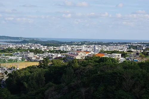 Katsuren Peninsula Natural site, Okinawa9.6 km E
-
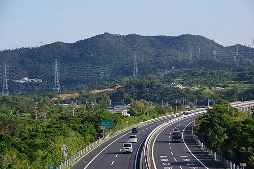 Mount Ishikawa Mountain, Kunigami-gun13 km N
-
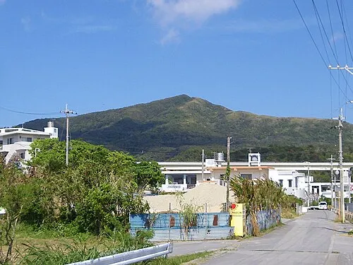 Mount Onna Mountain, Kunigami-gun17 km NE
-
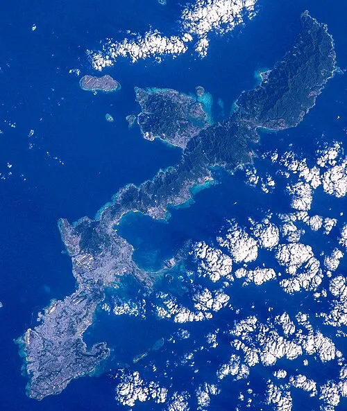 Okinawa Island, Ginoza Son24 km NE
-
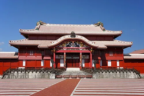 Shuri Castle Historic site, Naha Shi16 km SW
-
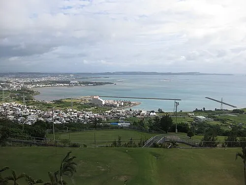 Nakagusuku Bay Natural site, Okinawa14 km SE
-
Tsuken Jima Island, Okinawa17 km SE
-
Ryukyu Islands Island, Kin Chō13 km NE
Sources & licences
Data last updated: