Kabira Bay
Local name: 川平湾
Located in Okinawa, Japan Coordinates: 24°26′59″ N 124°08′37″ E
- Local time
- UTC+09:00
- Asia/Tokyo · UTC+09:00
- Airports
- ISG New Ishigaki Airport12 km
- TRA Tarama Airport58 km
About Kabira Bay
Kabira Bay is a natural site. Location: Okinawa, Japan.
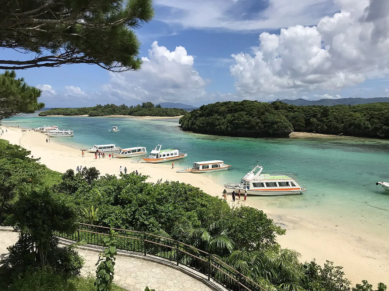
Kabira Bay (川平湾; Okinawan: Kabira wan) is located on the north coast of Ishigaki Island, Okinawa Prefecture, Japan. Renowned for its white sands, turquoise waters and dense vegetation, the bay forms part of the Iriomote-Ishigaki National Park. Alongside Mount Omoto, it has been designated a Place of Scenic Beauty. Black pearls are cultured in the bay. Kabira Village is located near the bay. Its traditional culture was studied by American anthropologists in 1950–1952.
Source: Wikipedia · CC BY-SA 4.0
At a glance
- Heritage designation
- Place of Scenic Beauty
Source: Wikidata
Climate of Kabira Bay
Best months for sightseeingBest months for sightseeing: November–April.
This month · November
A good month to visit
Day 24° · Night 20° · Rain 174 mm
- Hottest month
- July (day 31°)
- Coldest month
- January (night 16°)
- Wettest month
- August (238 mm)
- Driest month
- February (129 mm)
Bars: average monthly low and high temperature. Below: precipitation. Monthly averages for 1970–2000 at about 18 km resolution, adjusted for elevation. Highlighted months are mild and relatively dry. Source: WorldClim 2.1 (CC BY 4.0).
Show values as a table
| Month | Jan | Feb | Mar | Apr | May | Jun | Jul | Aug | Sep | Oct | Nov | Dec |
|---|---|---|---|---|---|---|---|---|---|---|---|---|
| Average high (°C) | 20° | 20° | 22° | 25° | 27° | 29° | 31° | 31° | 29° | 27° | 24° | 21° |
| Average low (°C) | 16° | 16° | 18° | 20° | 23° | 25° | 26° | 26° | 25° | 23° | 20° | 17° |
| Precipitation (mm) | 149 | 129 | 133 | 158 | 213 | 188 | 155 | 238 | 214 | 209 | 174 | 150 |
Other places to visit in this season: January February March April November December
How to get to Kabira Bay
The nearest airport is New Ishigaki Airport (ISG), 12 km to the southeast as the crow flies.
Airports
- New Ishigaki Airport (ISG) Ishigaki 12 kmsoutheast
- Tarama Airport (TRA) Tarama 58 kmnortheast
- Shimojishima Airport (SHI) Miyakojima 110 kmnortheast
Straight-line distances; road distances are longer. Airport data: OurAirports.
Nearest towns and villages
-
Ishigaki City, Ishigaki-shi12 km S
-
Taketomi Chō Municipality, Yaeyama-gun35 km SW
Nearby attractions & nature
Everything nearby-
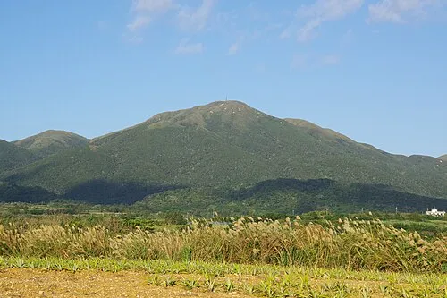 Mount Omoto Mountain, Ishigaki-shi5.5 km SE
-
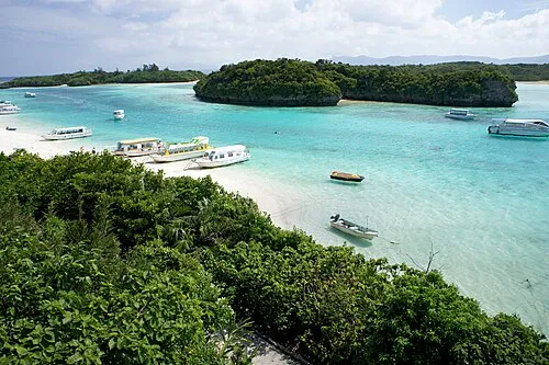 Ishigaki Jima Island, Okinawa8 km SE
-
 Taketomi-shima Island, Okinawa16 km SW
-
 Yaeyama Group Island, Okinawa19 km SW
-
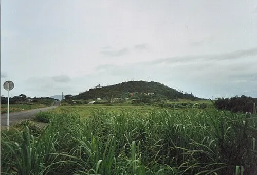 Kohama Island Island, Okinawa21 km SW
Sources & licences
Data last updated: · 2 independent sources