- Population
- 47,637
- 47.6K
- Elevation
- 18 m
- above sea level
- Local time
- UTC+09:00
- Asia/Tokyo · UTC+09:00
- Airports
- ISG New Ishigaki Airport11 km
- TRA Tarama Airport63 km
About Ishigaki
Ishigaki is a city. Location: Ishigaki-shi, Okinawa. Population: 47,637. Elevation: 18 m. The best months to visit are November–April. The nearest airport is New Ishigaki Airport (11 km). Nearby sights include Mount Omoto and Ishigaki Jima.
Climate of Ishigaki
Best months for sightseeingBest months for sightseeing: November–April.
This month · November
A good month to visit
Day 25° · Night 21° · Rain 174 mm
- Hottest month
- July (day 31°)
- Coldest month
- January (night 16°)
- Wettest month
- August (238 mm)
- Driest month
- February (129 mm)
Bars: average monthly low and high temperature. Below: precipitation. Monthly averages for 1970–2000 at about 18 km resolution, adjusted for elevation. Highlighted months are mild and relatively dry. Source: WorldClim 2.1 (CC BY 4.0).
Show values as a table
| Month | Jan | Feb | Mar | Apr | May | Jun | Jul | Aug | Sep | Oct | Nov | Dec |
|---|---|---|---|---|---|---|---|---|---|---|---|---|
| Average high (°C) | 20° | 20° | 22° | 25° | 27° | 30° | 31° | 31° | 30° | 27° | 25° | 22° |
| Average low (°C) | 16° | 16° | 18° | 21° | 23° | 25° | 27° | 26° | 25° | 23° | 21° | 18° |
| Precipitation (mm) | 149 | 129 | 133 | 158 | 213 | 188 | 155 | 238 | 214 | 209 | 174 | 150 |
Other places to visit in this season: January February March April November December
How to get to Ishigaki
The nearest airport is New Ishigaki Airport (ISG), 11 km to the northeast as the crow flies.
Airports
- New Ishigaki Airport (ISG) Ishigaki 11 kmnortheast
- Tarama Airport (TRA) Tarama 63 kmnortheast
- Shimojishima Airport (SHI) Miyakojima 113 kmnortheast
Straight-line distances; road distances are longer. Airport data: OurAirports.
Nearby attractions & nature
Everything nearby-
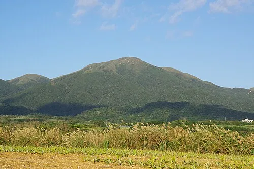 Mount Omoto Mountain, Ishigaki-shi8.4 km N
-
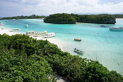 Ishigaki Jima Island, Okinawa7.5 km NE
-
 Taketomi-shima Island, Okinawa8.1 km SW
-
 Yaeyama Group Island, Okinawa16 km W
-
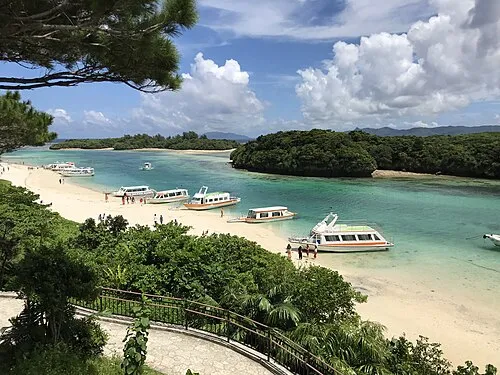 Kabira Bay Natural site, Okinawa12 km N
-
 Kuro-shima Island, Japan19 km SW
-
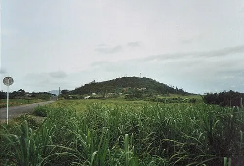 Kohama Island Island, Okinawa18 km W
Sources & licences
Data last updated: