Kohama Island
Local name: 小浜島
Located in Okinawa, Japan Coordinates: 24°20′31″ N 123°58′42″ E
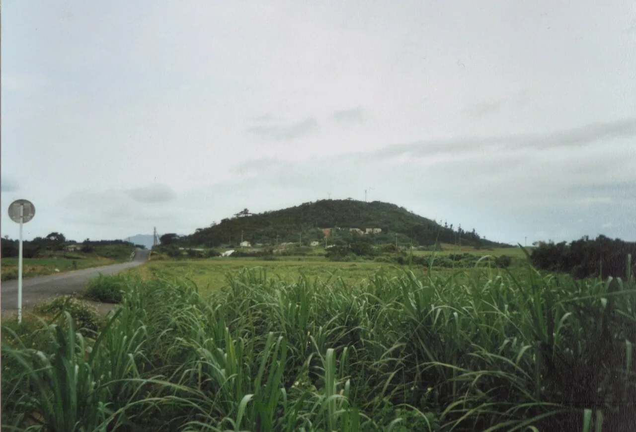
- Elevation
- 0 m
- above sea level
- Local time
- UTC+09:00
- Asia/Tokyo · UTC+09:00
- Population
- 634
- 634
- Airports
- ISG New Ishigaki Airport28 km
- TRA Tarama Airport79 km
About Kohama Island
Kohama Island is an island. Location: Okinawa, Japan. Population: 634.
Kohama Island (小浜島, Kohama-jima) (Yaeyama: Kumoo, Okinawan: Kubama) is an island in the Yaeyama Islands group at the southwestern end of the Ryukyu Islands chain, and part of Taketomi, Yaeyama District, Okinawa Prefecture, Japan. The island has an area of 7.84 km2 (3.03 sq mi), with a surrounding area of 16.6 km2 (6.4 sq mi). The island is located about 25 minutes by ferry from Ishigaki Island, which is the transportation and business center of the Yaeyama Islands.
Source: Wikipedia · CC BY-SA 4.0
At a glance
- Length
- 4.5 km
- Area
- 7.9 km²
Source: Wikidata
Climate of Kohama Island
Best months for sightseeingBest months for sightseeing: November–April.
This month · November
A good month to visit
Day 25° · Night 21° · Rain 205 mm
- Hottest month
- July (day 31°)
- Coldest month
- January (night 16°)
- Wettest month
- August (249 mm)
- Driest month
- February (149 mm)
Bars: average monthly low and high temperature. Below: precipitation. Monthly averages for 1970–2000 at about 18 km resolution, adjusted for elevation. Highlighted months are mild and relatively dry. Source: WorldClim 2.1 (CC BY 4.0).
Show values as a table
| Month | Jan | Feb | Mar | Apr | May | Jun | Jul | Aug | Sep | Oct | Nov | Dec |
|---|---|---|---|---|---|---|---|---|---|---|---|---|
| Average high (°C) | 20° | 21° | 23° | 25° | 28° | 30° | 31° | 31° | 30° | 27° | 25° | 22° |
| Average low (°C) | 16° | 16° | 18° | 21° | 23° | 26° | 27° | 26° | 25° | 24° | 21° | 18° |
| Precipitation (mm) | 169 | 149 | 149 | 167 | 220 | 198 | 186 | 249 | 245 | 231 | 205 | 164 |
Other places to visit in this season: January February March April November December
How to get to Kohama Island
The nearest airport is New Ishigaki Airport (ISG), 28 km to the east as the crow flies.
Airports
- New Ishigaki Airport (ISG) Ishigaki 28 kmeast
- Tarama Airport (TRA) Tarama 79 kmnortheast
- Yonaguni Airport (OGN) Yonaguni 102 kmwest
Straight-line distances; road distances are longer. Airport data: OurAirports.
Nearest towns and villages
-
Taketomi Chō Municipality, Yaeyama-gun15 km W
-
Ishigaki City, Ishigaki-shi18 km E
Nearby attractions & nature
Everything nearby-
 Yaeyama Group Island, Okinawa2.4 km SE
-
 Taketomi-shima Island, Okinawa11 km E
-
 Kuro-shima Island, Japan12 km S
-
 Iriomote Jima Island, Okinawa15 km W
-
Nakama-wan Natural site, Okinawa12 km SW
-
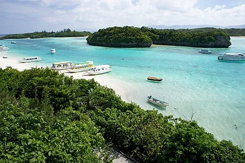 Ishigaki Jima Island, Okinawa23 km E
-
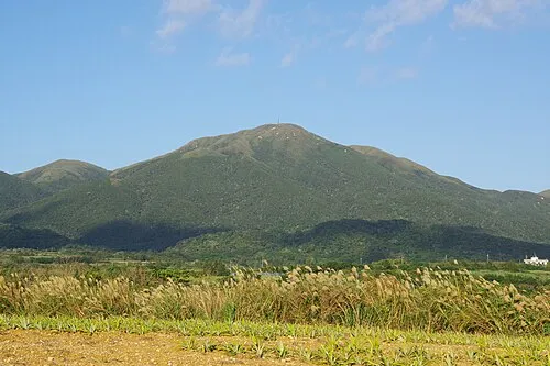 Mount Omoto Mountain, Ishigaki-shi22 km E
-
Hatoma-jima Island, Japan22 km NW
More lakes, rivers and coasts in Japan
-
Hateruma Jima Island, Okinawa37 km SW
-
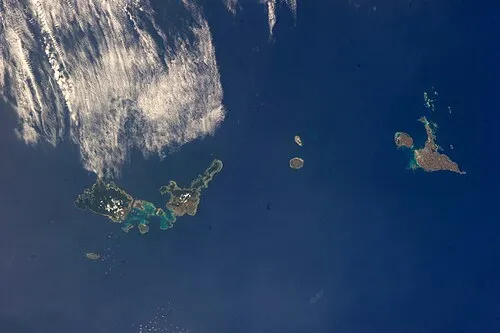 Sakishima Group Island, Okinawa47 km N
-
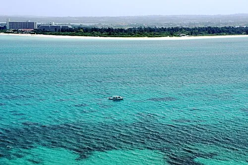 Miyako Island Island, Miyakojima Shi146 km E
-
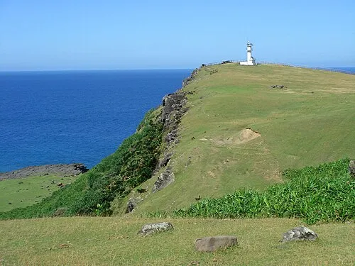 Kumi Island Island, Okinawa101 km W
-
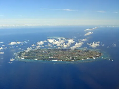 Tarama Shima Island, Okinawa81 km NE
-
 Shimoji-shima Island, Okinawa130 km NE
Sources & licences
Data last updated: · 2 independent sources