- Elevation
- 67 m
- above sea level
- Local time
- UTC+09:00
- Asia/Tokyo · UTC+09:00
- Population
- 1,684
- 1.7K
- Airports
- OGN Yonaguni Airport2 km
- ISG New Ishigaki Airport127 km
About Kumi Island
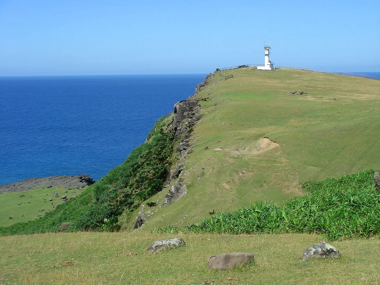
Kumi Island is an island. Location: Okinawa, Japan. Population: 1,684.
Yonaguni (Japanese: 与那国島, Hepburn: Yonaguni-jima; Yonaguni: Dunan-chima, older Juni-shima; Yaeyama: Yunoon-zïma; Okinawan: Yunaguni-jima), one of the Yaeyama Islands, is the westernmost island of Japan, lying between the East China Sea and the Philippine Sea, a mere 107.4 kilometers (58.0 nmi; 66.7 mi) separate the island from Taiwan at their closest points. It is administered as the town of Yonaguni, Yaeyama Gun, Okinawa, and there are three settlements: Sonai, Kubura, and Higawa.
Source: Wikipedia · CC BY-SA 4.0
At a glance
- Length
- 11 km
- Area
- 28.9 km²
Source: Wikidata
Climate of Kumi Island
Best months for sightseeingBest months for sightseeing: October–May.
This month · November
A good month to visit
Day 24° · Night 20° · Rain 253 mm
- Hottest month
- July (day 31°)
- Coldest month
- January (night 16°)
- Wettest month
- September (285 mm)
- Driest month
- July (143 mm)
Bars: average monthly low and high temperature. Below: precipitation. Monthly averages for 1970–2000 at about 18 km resolution, adjusted for elevation. Highlighted months are mild and relatively dry. Source: WorldClim 2.1 (CC BY 4.0).
Show values as a table
| Month | Jan | Feb | Mar | Apr | May | Jun | Jul | Aug | Sep | Oct | Nov | Dec |
|---|---|---|---|---|---|---|---|---|---|---|---|---|
| Average high (°C) | 20° | 20° | 22° | 25° | 27° | 30° | 31° | 31° | 29° | 27° | 24° | 21° |
| Average low (°C) | 16° | 16° | 18° | 20° | 23° | 25° | 26° | 26° | 25° | 23° | 20° | 17° |
| Precipitation (mm) | 193 | 160 | 156 | 174 | 219 | 183 | 143 | 212 | 285 | 259 | 253 | 177 |
Other places to visit in this season: January February March April May October November December
How to get to Kumi Island
The nearest airport is Yonaguni Airport (OGN), 2 km to the northwest as the crow flies. For international flights: Hualien Chiashan Airport (HUN) (147 km).
Airports
- Yonaguni Airport (OGN) Yonaguni 2 kmnorthwest
- New Ishigaki Airport (ISG) Ishigaki 127 kmeast
- Hualien Chiashan Airport (HUN) Hualien City 147 kmwest
Straight-line distances; road distances are longer. Airport data: OurAirports.
More lakes, rivers and coasts in Japan
-
 Yaeyama Group Island, Okinawa103 km E
-
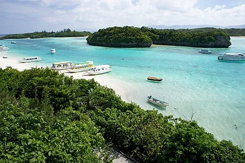 Ishigaki Jima Island, Okinawa123 km E
-
 Iriomote Jima Island, Okinawa87 km E
-
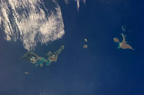 Sakishima Group Island, Okinawa108 km E
-
 Taketomi-shima Island, Okinawa112 km E
-
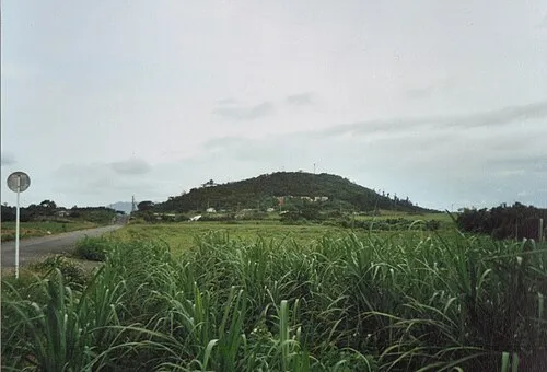 Kohama Island Island, Okinawa101 km E
Sources & licences
Data last updated: · 2 independent sources