
- Elevation
- 10 m
- above sea level
- Local time
- UTC+09:00
- Asia/Tokyo · UTC+09:00
- Population
- 209
- 209
- Airports
- ISG New Ishigaki Airport30 km
- TRA Tarama Airport82 km
About Kuro-shima
Kuro-shima is an island. Location: Japan. Population: 209.
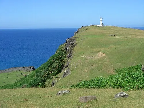
Kuroshima (黒島; Yaeyama: Ffusïma, Okinawan: Kurushima), also known as "Kuro Island", is an island in Taketomi Town, Okinawa, Japan, part of the Yaeyama archipelago. The island has the approximate shape of a heart symbol when viewed from the air, and is marketed as "Heart Island". The name means "Black Island". The island has an area of about 10 km2 (4 sq mi) and a population of approximately 210 as of 2006. Kuroshima is a comparatively flat island, as the highest point is just 15 metres (49 ft) above sea level.
Read more on Wikipedia Text: Wikipedia contributors · CC BY-SA 4.0 · shortened
At a glance
- Length
- 4 km
- Area
- 10 km²
Source: Wikidata
Climate of Kuro-shima
Best months for sightseeingBest months for sightseeing: November–April.
Bars: average monthly low and high temperature. Below: precipitation. Monthly averages for 1970–2000 at about 18 km resolution, adjusted for elevation. Highlighted months are mild and relatively dry. Source: WorldClim 2.1 (CC BY 4.0).
Show values as a table
| Month | Jan | Feb | Mar | Apr | May | Jun | Jul | Aug | Sep | Oct | Nov | Dec |
|---|---|---|---|---|---|---|---|---|---|---|---|---|
| Average high (°C) | 21° | 21° | 23° | 25° | 28° | 30° | 32° | 31° | 30° | 28° | 25° | 22° |
| Average low (°C) | 17° | 17° | 19° | 21° | 23° | 26° | 27° | 26° | 26° | 24° | 21° | 19° |
| Precipitation (mm) | 148 | 130 | 133 | 156 | 206 | 176 | 153 | 228 | 215 | 208 | 179 | 147 |
Other places to visit in this season: January February March April November December
Airports nearest to Kuro-shima
- New Ishigaki Airport (ISG) Ishigaki 30 km
- Tarama Airport (TRA) Tarama 82 km
- Yonaguni Airport (OGN) Yonaguni 108 km
Straight-line distance; airports with scheduled flights only. Source: OurAirports (public domain).
Nearest towns and villages
-
Ishigaki City, Ishigaki-shi19 km NE
-
Taketomi Chō Municipality, Yaeyama-gun21 km NW
Nearby attractions & nature
Everything nearby-
 Yaeyama Group Island, Okinawa11 km N
-
 Taketomi-shima Island, Okinawa11 km NE
-
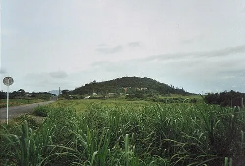 Kohama Island Island, Okinawa12 km N
-
 Iriomote Jima Island, Okinawa21 km NW
-
Nakama-wan Natural site, Okinawa13 km W
More lakes, rivers and coasts in Japan
-
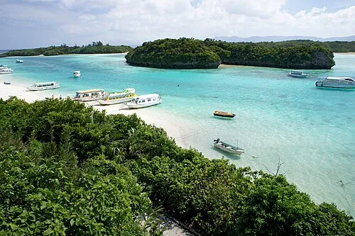 Ishigaki Jima Island, Okinawa26 km NE
-
Hateruma Jima Island, Okinawa31 km SW
-
Hatoma-jima Island, Japan32 km NW
-
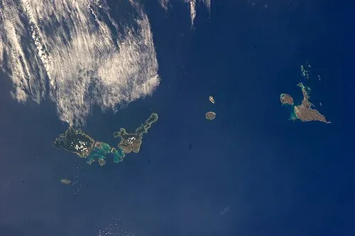 Sakishima Group Island, Okinawa58 km N
-
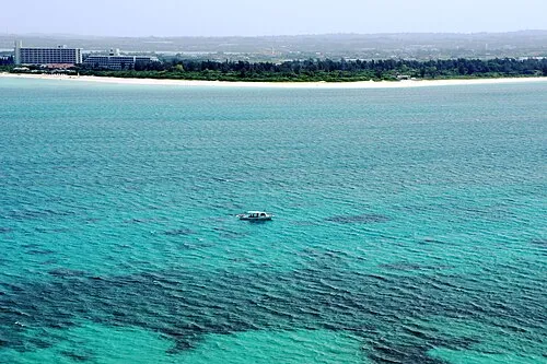 Miyako Island Island, Miyakojima Shi147 km NE
-
 Kumi Island Island, Okinawa106 km W
Sources & licences
Data last updated: · 2 independent sources