- Elevation
- 11 m
- above sea level
- Local time
- UTC+09:00
- Asia/Tokyo · UTC+09:00
- Population
- 22
- 22
- Airports
- KMI Miyazaki Airport8 km
- KOJ Kagoshima Airport72 km
About Ao Shima
Ao Shima is an island. Location: Miyazaki, Japan. Population: 22.
Aoshima (青島, Aoshima) is an island located in Miyazaki, Miyazaki Prefecture, Japan. The island has a surface area of 4.4 hectares (10.9 acres) and a height of 6 metres (20 feet). The island is part of the Aoshima Shrine. Miyazaki′s Aoshima neigbbourhood consists of the island and the opposite coastal strip, where the Aoshima Subtropical Botanical Garden is located.
Read more on Wikipedia Text: Wikipedia contributors · CC BY-SA 4.0 · shortened
Climate of Ao Shima
Best months for sightseeingBest months for sightseeing: April–June, October–November.
Bars: average monthly low and high temperature. Below: precipitation. Monthly averages for 1970–2000 at about 18 km resolution, adjusted for elevation. Highlighted months are mild and relatively dry. Source: WorldClim 2.1 (CC BY 4.0).
Show values as a table
| Month | Jan | Feb | Mar | Apr | May | Jun | Jul | Aug | Sep | Oct | Nov | Dec |
|---|---|---|---|---|---|---|---|---|---|---|---|---|
| Average high (°C) | 12° | 13° | 16° | 20° | 23° | 26° | 30° | 30° | 28° | 23° | 19° | 14° |
| Average low (°C) | 3° | 4° | 7° | 12° | 16° | 20° | 24° | 24° | 21° | 16° | 11° | 5° |
| Precipitation (mm) | 73 | 103 | 182 | 248 | 292 | 442 | 340 | 313 | 316 | 177 | 103 | 61 |
Other places to visit in this season: April May June October November
Airports nearest to Ao Shima
- Miyazaki Airport (KMI) Miyazaki 8 km
- Kagoshima Airport (KOJ) Kagoshima 72 km
- Kumamoto Airport (KMJ) Kumamoto 129 km
Straight-line distance; airports with scheduled flights only. Source: OurAirports (public domain).
Nearest towns and villages
-
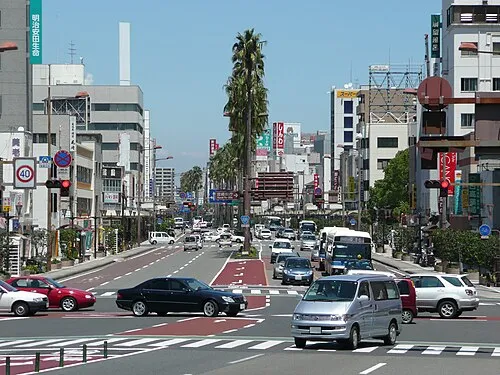 Miyazaki City, Miyazaki14 km NW
-
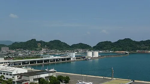 Nichinan City, Nichinan Shi25 km SW
-
Honjō Town, Kunitomi Chō24 km NW
-
 Shintomi Town, Shintomi Chō29 km N
-
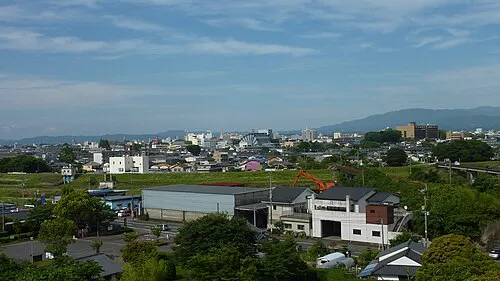 Miyakonojō City, Miyakonojō Shi40 km W
-
Mimata Chō Municipality, Kitamorokata Gun30 km W
Sources & licences
Data last updated: · 2 independent sources