Kawaminami
Local name: 川南町
Located in Kawaminami Chō, Kōyu-gun Coordinates: 32°11′00″ N 131°31′00″ E
- Population
- 15,372
- 15.4K
- Elevation
- 37 m
- above sea level
- Local time
- UTC+09:00
- Asia/Tokyo · UTC+09:00
- Airports
- KMI Miyazaki Airport35 km
- KOJ Kagoshima Airport86 km
About Kawaminami
Kawaminami is a town. Location: Kawaminami Chō, Kōyu-gun. Population: 15,372. Elevation: 37 m.
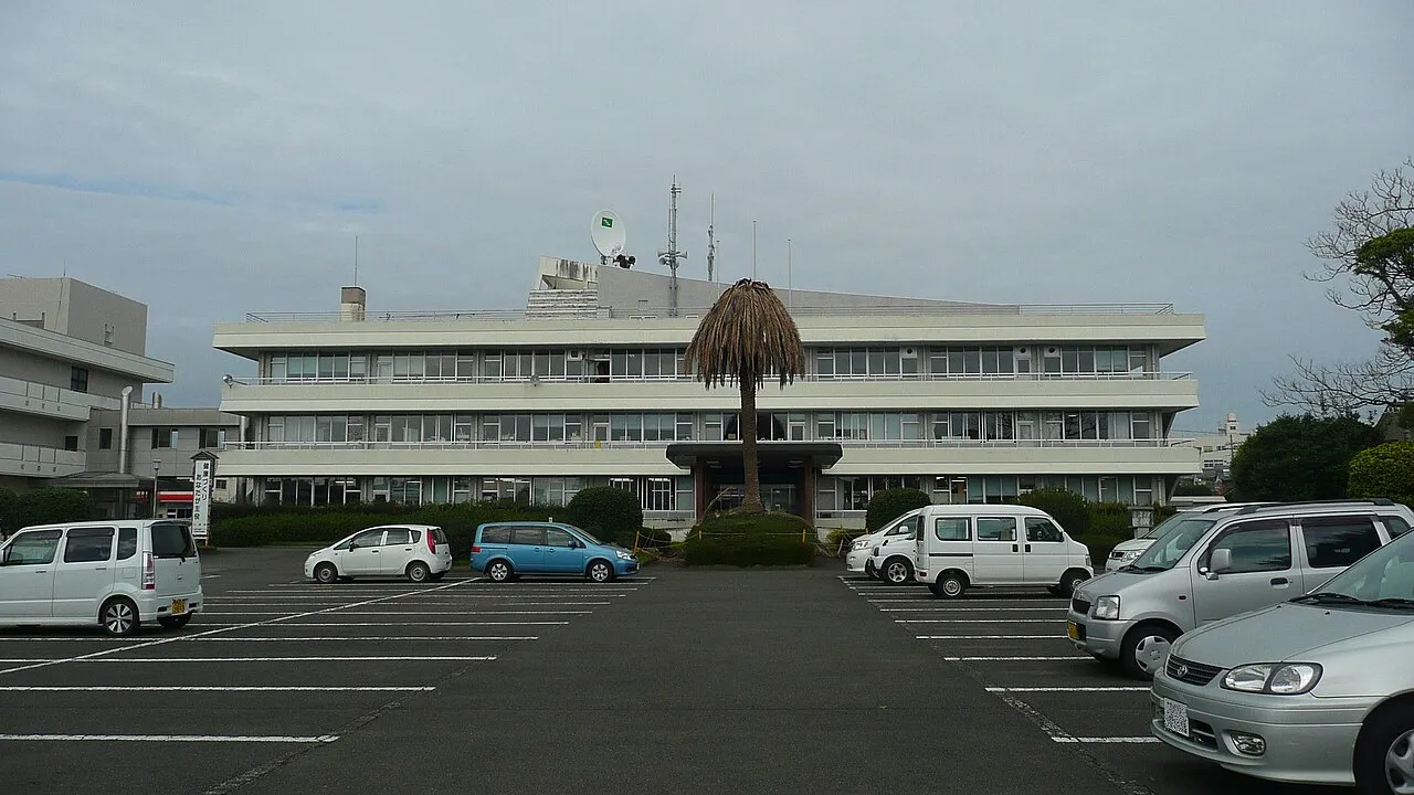
Kawaminami (川南町, Kawaminami-chō) is a town located in Koyu District, Miyazaki Prefecture, Japan. As of 1 September 2023, the town had an estimated population of 14,647 in 6,075 households, and a population density of 160 persons per km2. The total area of the town is 145.96 square kilometres (56.36 sq mi).
Source: Wikipedia · CC BY-SA 4.0
Photos of Kawaminami
-

あおのひーた? · CC0 -

あおのひーた? · CC BY-SA 4.0 -

Sanjo · CC BY-SA 4.0 -

Sanjo · CC BY-SA 4.0 -

ja:User:Sanjo · CC BY-SA 4.0


Places bordering Kawaminami
- Takanabe
- Tsunō
- Kijō Chō
Twin towns and sister cities of Kawaminami
- Towada· Japan
Source: Wikidata. Only places with a page on this site are shown.
Population of Kawaminami over time
| 2010 | 17,009 | |
|---|---|---|
| 2014 | 16,439 | |
| 2015 | 16,109 | |
| 2021 | 15,151 |
Censuses and official estimates; source: Wikidata.
Climate of Kawaminami
Best months for sightseeingBest months for sightseeing: April–June, October–November.
This month · November
A good month to visit
Day 18° · Night 9° · Rain 87 mm
- Hottest month
- August (day 30°)
- Coldest month
- January (night 2°)
- Wettest month
- June (404 mm)
- Driest month
- December (51 mm)
Bars: average monthly low and high temperature. Below: precipitation. Monthly averages for 1970–2000 at about 18 km resolution, adjusted for elevation. Highlighted months are mild and relatively dry. Source: WorldClim 2.1 (CC BY 4.0).
Show values as a table
| Month | Jan | Feb | Mar | Apr | May | Jun | Jul | Aug | Sep | Oct | Nov | Dec |
|---|---|---|---|---|---|---|---|---|---|---|---|---|
| Average high (°C) | 12° | 12° | 15° | 20° | 23° | 26° | 29° | 30° | 27° | 23° | 18° | 14° |
| Average low (°C) | 2° | 3° | 6° | 11° | 15° | 19° | 23° | 23° | 20° | 15° | 9° | 4° |
| Precipitation (mm) | 63 | 90 | 157 | 223 | 267 | 404 | 309 | 285 | 306 | 172 | 87 | 51 |
Other places to visit in this season: April May June October November
How to get to Kawaminami
The nearest airport is Miyazaki Airport (KMI), 35 km to the south as the crow flies. The nearest large city is Miyazaki, 31 km to the south.
Airports
- Miyazaki Airport (KMI) Miyazaki 35 kmsouth
- Kagoshima Airport (KOJ) Kagoshima 86 kmsouthwest
- Kumamoto Airport (KMJ) Kumamoto 96 kmnorthwest
Nearby large cities
- Miyazaki Population: 401.3K 31 kmsouth
- Nobeoka Population: 119.5K 47 kmnorth
- Miyakonojō Population: 161.1K 66 kmsouthwest
- Kirishima Population: 123.2K 87 kmsouthwest
- Honmachi Population: 123.1K 93 kmnorthwest
Straight-line distances; road distances are longer. Airport data: OurAirports.
Day trips from Kawaminami
Within 100 km: 1 historic or cultural site, 8 natural sites, 7 lakes, rivers and coasts.
0–25 km2 places
- Mimigawa River River 20 kmNE
- Mount Osuzu Mountain 15 kmNW
25–60 km3 places
- Kyūshū Island 57 kmNW
- Ao Shima Island 42 kmS
- Ooyodo River River 33 kmS
60–100 km11 places
- Kō Shima Island 82 kmS
- Mount Ōkueyama Mountain 61 kmN
- Hi Kawa River 95 kmNW
- Kuma River River 95 kmW
Straight-line distances.
Nearby attractions & nature
Everything nearby-
Mount Osuzu Mountain, Tsuno Chō15 km NW
-
Mimigawa River River, Miyazaki20 km NE
Sources & licences
Data last updated: · 2 independent sources