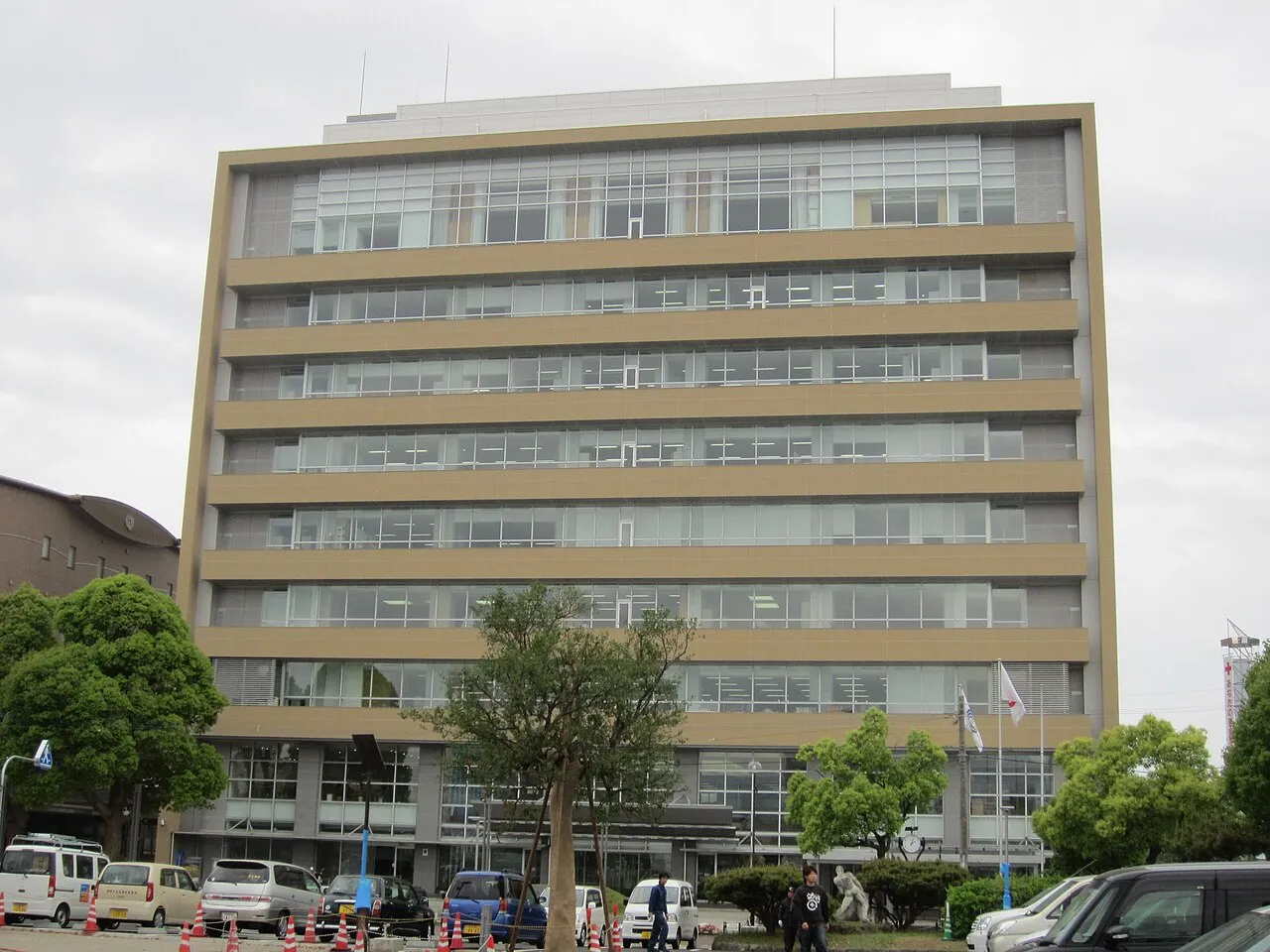
- Population
- 135,546
- 135.5K
- Elevation
- 104 m
- above sea level
- Local time
- UTC+09:00
- Asia/Tokyo · UTC+09:00
- Airports
- NGS Nagasaki Airport15 km
- AXJ Amakusa Airport41 km
About Isahaya
Isahaya is a city. Location: Isahaya Shi, Nagasaki. Population: 135,546. Elevation: 104 m.
Isahaya (諫早市, Isahaya-shi; Japanese pronunciation: [ì.sä́.hä́.jä́(.ɕì)]) is a city located in Nagasaki Prefecture, Japan. As of June 1, 2024, the city had an estimated population of 131,467 in 55169 households, and a population density of 380 people per km2. The total area of the city is 341.79 km2 (131.97 sq mi).
Source: Wikipedia · CC BY-SA 4.0
Photos of Isahaya
-

先従隗始 · CC0 -

そらみみ · CC BY-SA 4.0 -

Muscla3pin · CC BY-SA 4.0 -

Marufish from Alor Setar, Malaysia · CC BY-SA 2.0 -

Bakkai · CC BY-SA 3.0


Places bordering Isahaya
- Nagasaki Shi
- Ōmura
- Unzen Shi
- Obita
- Tara
Twin towns and sister cities of Isahaya
- Tsuyama· Japan
Source: Wikidata. Only places with a page on this site are shown.
Population of Isahaya over time
| 2010 | 140,752 | |
|---|---|---|
| 2015 | 138,078 | |
| 2021 | 133,512 |
Censuses and official estimates; source: Wikidata.
Climate of Isahaya
Best months for sightseeingBest months for sightseeing: May, October.
This month · November
Outside the best season
Day 17° · Night 9° · Rain 81 mm
Better nearby cities in November
- Kirishima · 140 km southeast19°
- Beppu · 144 km east17°
- Kagoshima · 150 km south19°
- Hottest month
- August (day 31°)
- Coldest month
- January (night 2°)
- Wettest month
- July (390 mm)
- Driest month
- December (62 mm)
Bars: average monthly low and high temperature. Below: precipitation. Monthly averages for 1970–2000 at about 18 km resolution, adjusted for elevation. Highlighted months are mild and relatively dry. Source: WorldClim 2.1 (CC BY 4.0).
Show values as a table
| Month | Jan | Feb | Mar | Apr | May | Jun | Jul | Aug | Sep | Oct | Nov | Dec |
|---|---|---|---|---|---|---|---|---|---|---|---|---|
| Average high (°C) | 9° | 10° | 13° | 19° | 23° | 26° | 29° | 31° | 27° | 22° | 17° | 12° |
| Average low (°C) | 2° | 3° | 5° | 10° | 15° | 19° | 23° | 24° | 20° | 15° | 9° | 4° |
| Precipitation (mm) | 72 | 93 | 144 | 184 | 207 | 377 | 390 | 216 | 225 | 106 | 81 | 62 |
How to get to Isahaya
The nearest airport is Nagasaki Airport (NGS), 15 km to the northwest as the crow flies. The nearest large city is Nagasaki, 18 km to the southwest.
Airports
- Nagasaki Airport (NGS) Nagasaki 15 kmnorthwest
- Amakusa Airport (AXJ) Amakusa 41 kmsouth
- Kyushu Saga International Airport (HSG) Saga 42 kmnortheast
Nearby large cities
- Nagasaki Population: 409.1K 18 kmsouthwest
- Omuta Population: 132K 44 kmnortheast
- Sasebo Population: 243.2K 47 kmnorthwest
- Saga Population: 233.3K 50 kmnortheast
- Honmachi Population: 123.1K 64 kmsoutheast
Straight-line distances; road distances are longer. Airport data: OurAirports.
Day trips from Isahaya
Within 100 km: 18 historic and cultural sites, 14 natural sites, 20 lakes, rivers and coasts.
0–25 km4 places
- Mount Unzen Mountain 25 kmSE
- Shimabara-hantō Natural site 22 kmSE
- Oura Catholic Cathedral Attraction 20 kmSW
- Ōmura-wan Natural site 20 kmNW
25–60 km15 places
- Shimoshima Island Island 56 kmS
- Hario Jima Island 39 kmNW
- Ōyano Jima Island 46 kmSE
- Kami Shima Island 51 kmSE
60–100 km33 places
- Kyūshū Island 100 kmSE
- Hi Kawa River 61 kmSE
- Wakamatsu Island Island 98 kmW
- Kuma River River 64 kmSE
Straight-line distances.
Isahaya and similar cities
Side by side with cities of similar size in the same country: population, elevation and climate.
| Measure | Isahaya | Kisarazu | Inazawa | Minoh |
|---|---|---|---|---|
| Population | 135.5K | 136.2K | 134.8K | 136.9K |
| Elevation | 104 m | 5 m | 4 m | 76 m |
| Summer day (hottest month) | 31° | 30° | 31° | 32° |
| Winter night (coldest month) | 2° | 1° | 0° | 1° |
| Annual rainfall | 2,157 mm | 1,553 mm | 1,884 mm | 1,355 mm |
| Best months | May, Oct | May–Jun, Sep–Oct | May–Jun, Oct | May, Oct |
| Distance | — | 955 km | 677 km | 548 km |
Climate values are 1970–2000 monthly averages; straight-line distance.
Nearby attractions & nature
Everything nearby-
 Shimabara-hantō Natural site, Nagasaki22 km SE
-
 Mount Unzen Mountain, Nagasaki25 km SE
-
Oura Catholic Cathedral Attraction, Nagasaki Shi20 km SW
-
 Ōmura-wan Natural site, Nagasaki20 km NW
Sources & licences
Data last updated: · 2 independent sources