Tsushima
Local name: 対馬市
Located in Tsushima Shi, Nagasaki Coordinates: 34°12′23″ N 129°17′27″ E
- Population
- 28,502
- 28.5K
- Elevation
- 6 m
- above sea level
- Local time
- UTC+09:00
- Asia/Tokyo · UTC+09:00
- Airports
- TSJ Tsushima Airport9 km
- IKI Iki Airport68 km
About Tsushima
Tsushima is a city. Location: Tsushima Shi, Nagasaki. Population: 28,502. Elevation: 6 m.
Tsushima (対馬市, Tsushima-shi; Japanese pronunciation: [t͡sɨ̥.ɕì.mä̀, -ɕí.mä̀, -ɕí.mä́.ɕì]) is an island city grouped in Nagasaki Prefecture, Japan. It is the only city of Tsushima Subprefecture and it encompasses all of Tsushima Island, which lies in the Tsushima Strait north of Nagasaki on the western side of Kyushu, the southernmost mainland island of Japan. As of March 2017, the city has an estimated population of 31,550 and a population density of 45 persons per km2.
Source: Wikipedia · CC BY-SA 4.0
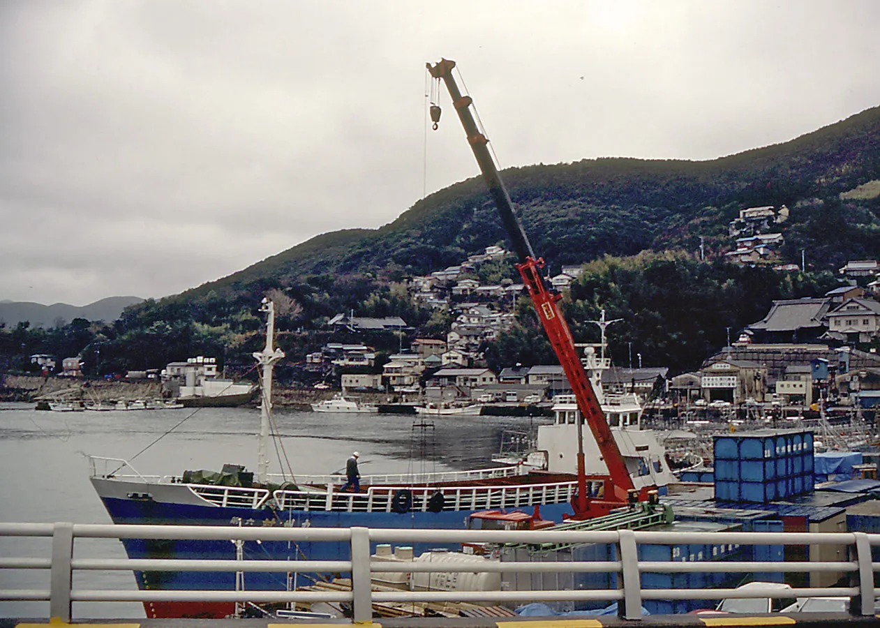
Photos of Tsushima
-

ブルーノ・プラス · CC BY-SA 4.0 -

Oriondbeer · CC BY-SA 4.0 -

girakku · CC0 -

user:Opqr · CC BY-SA 3.0 -

Ackeyyama · CC BY-SA 4.0


Population of Tsushima over time
| 2010 | 34,407 | |
|---|---|---|
| 2015 | 31,457 | |
| 2021 | 28,456 |
Censuses and official estimates; source: Wikidata.
Climate of Tsushima
Best months for sightseeingBest months for sightseeing: May–June, October.
This month · November
Outside the best season
Day 17° · Night 9° · Rain 89 mm
Better nearby cities in November
- Beppu · 229 km southeast17°
- Ōita · 239 km southeast18°
- Nobeoka · 285 km southeast18°
- Hottest month
- August (day 29°)
- Coldest month
- January (night 2°)
- Wettest month
- July (314 mm)
- Driest month
- December (54 mm)
Bars: average monthly low and high temperature. Below: precipitation. Monthly averages for 1970–2000 at about 18 km resolution, adjusted for elevation. Highlighted months are mild and relatively dry. Source: WorldClim 2.1 (CC BY 4.0).
Show values as a table
| Month | Jan | Feb | Mar | Apr | May | Jun | Jul | Aug | Sep | Oct | Nov | Dec |
|---|---|---|---|---|---|---|---|---|---|---|---|---|
| Average high (°C) | 9° | 10° | 13° | 17° | 21° | 24° | 28° | 29° | 26° | 22° | 17° | 12° |
| Average low (°C) | 2° | 2° | 6° | 10° | 14° | 18° | 23° | 24° | 20° | 15° | 9° | 4° |
| Precipitation (mm) | 68 | 85 | 130 | 184 | 195 | 308 | 314 | 279 | 221 | 95 | 89 | 54 |
How to get to Tsushima
The nearest airport is Tsushima Airport (TSJ), 9 km to the northeast as the crow flies. For international flights: Gimhae International Airport (PUS) (113 km). The nearest large city is Karatsu, 105 km to the southeast.
Airports
- Tsushima Airport (TSJ) Tsushima 9 kmnortheast
- Iki Airport (IKI) Iki 68 kmsoutheast
- Gimhae International Airport (PUS) Busan 113 kmnorth
Nearby large cities
- Karatsu Population: 117.7K 105 kmsoutheast
- Sasebo Population: 243.2K 122 kmsouth
- Kasuga Population: 111K 132 kmsoutheast
- Ōnojō Population: 102.1K 133 kmsoutheast
- Chikushino-shi Population: 103.3K 138 kmsoutheast
Straight-line distances; road distances are longer. Airport data: OurAirports.
Day trips from Tsushima
Within 100 km: 2 historic and cultural sites, 1 natural site, 7 lakes, rivers and coasts.
0–25 km4 places
- Tsushima Island Island 15 kmN
- Okinoshima Island 16 kmNE
- Shimo-shima Island 4 kmNW
- Asō Bay Natural site 14 kmN
25–60 km1 place
- Kami-shima Island 39 kmN
60–100 km5 places
- Iki Island Island 61 kmSE
- Okino-shima Island 75 kmE
- Ikitsuki Ōhashi Landmark 96 kmS
- Hirado Castle Historic site 96 kmS
Straight-line distances.
Nearby attractions & nature
Everything nearby-
Shimo-shima Island, Nagasaki4.3 km NW
-
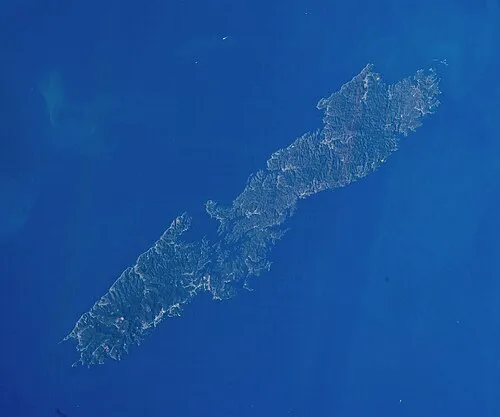 Tsushima Island Island, Nagasaki15 km N
-
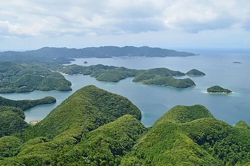 Asō Bay Natural site, Nagasaki14 km N
-
Okinoshima Island, Nagasaki16 km NE
Sources & licences
Data last updated: · 2 independent sources